
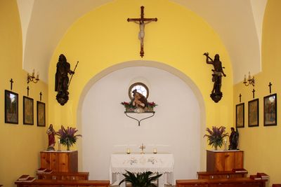
Ortskapelle Maria Hilfe der Christen, building in Scheiblingkirchen-Thernberg, Austria
Location: Scheiblingkirchen-Thernberg
GPS coordinates: 47.67670,16.13048
Latest update: March 4, 2025 00:07


Türkensturz
555 m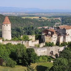
Burg Seebenstein
2.3 km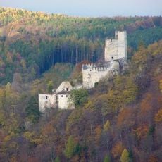
Ruinen Thernberg
4.5 km
Schlosspark Seebenstein
2.6 km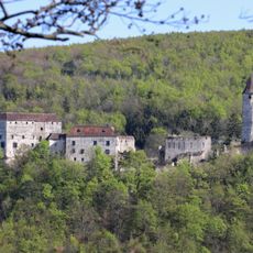
Naturpark Seebenstein
2.1 km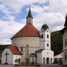
Pfarrkirche Scheiblingkirchen
2.1 km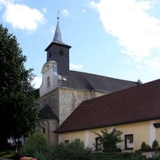
Pfarrkirche Thernberg
3.8 km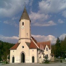
Pfarrkirche Kirchau
3.8 km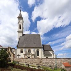
Saint Andrew Church
2.9 km
Marien-Dankes-Kirche Wartmannstetten
4.4 km
Waldhaus
2.4 km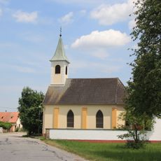
Chapel Loipersbach
4.6 km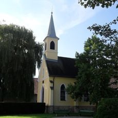
Chapel Natschbach
4.5 km
Ortskapelle
4.4 km
Saint Lawrence chapel
4.1 km
Ortskapelle
3.6 km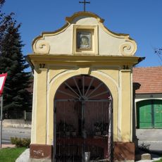
Betkapelle
4.6 km
Figurenbildstock hl. Johannes Nepomuk
2.7 km
Herminenheim Seebenstein
2.6 km
Bildstock Witzelsbergerstraße
1.3 km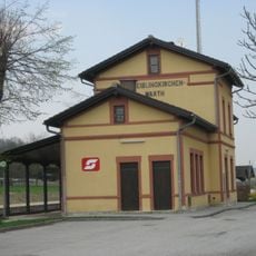
Aufnahmsgebäude Bahnhof Scheiblingkirchen-Warth
1.6 km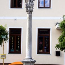
Pest-/Dreifaltigkeitssäule
3.8 km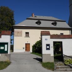
Pfarrhof
2.9 km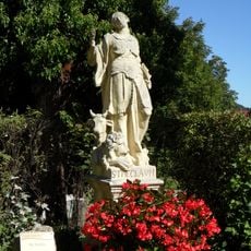
Figurenbildstock hl. Thekla
2.7 km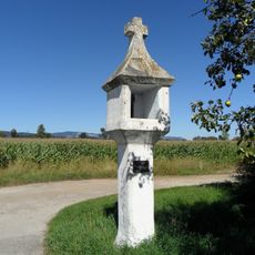
Bildstock, sog. Marchstein
4.8 km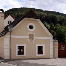
Ehem. Bader- bzw. Mesnerhaus
3.9 km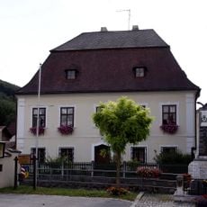
Pfarrhof
3.9 km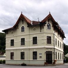
Gemeindeamt
2.1 kmVisited this place? Tap the stars to rate it and share your experience / photos with the community! Try now! You can cancel it anytime.
Discover hidden gems everywhere you go!
From secret cafés to breathtaking viewpoints, skip the crowded tourist spots and find places that match your style. Our app makes it easy with voice search, smart filtering, route optimization, and insider tips from travelers worldwide. Download now for the complete mobile experience.

A unique approach to discovering new places❞
— Le Figaro
All the places worth exploring❞
— France Info
A tailor-made excursion in just a few clicks❞
— 20 Minutes