
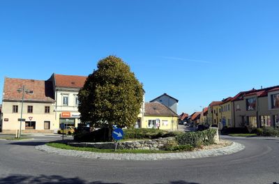
Unterwaltersdorf, locality and cadastral municipality in Baden District
Location: Ebreichsdorf
Elevation above the sea: 199 m
GPS coordinates: 47.95889,16.43056
Latest update: March 27, 2025 16:57
Pfarrkirche Peter und Paul, Weigelsdorf
2.2 km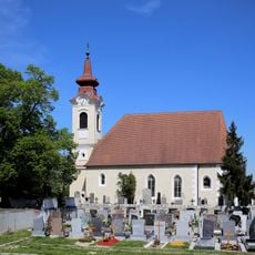
Pfarrkirche Ebreichsdorf
2.3 km
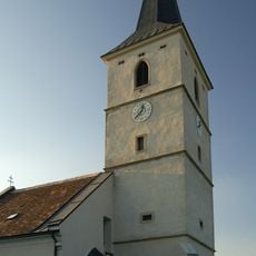
Pfarrkirche Unterwaltersdorf
25 m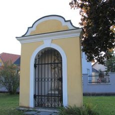
Nepomukkapelle bei Rossschwemme, Unterwaltersdorf
471 m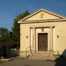
Aufbahrungshalle Ebreichsdorf
2.2 km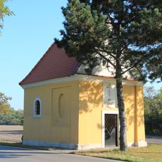
Hubertuskapelle, Unterwaltersdorf
1.2 km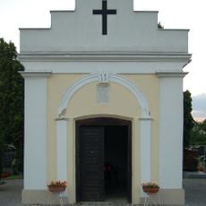
Friedhofskapelle/Aufbahrungshalle
566 m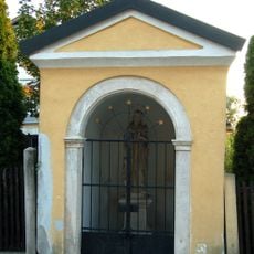
Johannes Nepomuk-Kapelle
64 m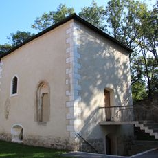
Barbarakapelle ehem. Karner
19 m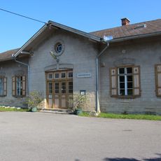
Heimatmuseum Ebreichsdorf
318 m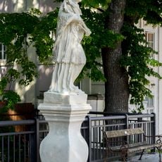
Statue hl. Johannes Nepomuk
2.4 km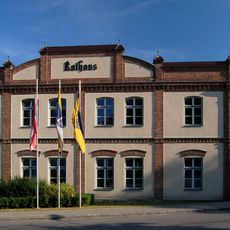
Rathaus Ebreichsdorf
2.4 km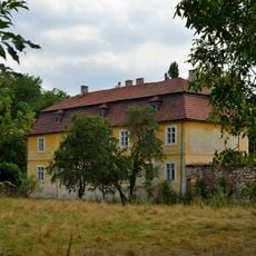
Schloss Schöngrabern, Unterwaltersdorf
136 m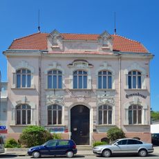
Ehemaliges Gemeindeamt Ebreichsdorf
2.2 km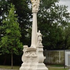
Dreifaltigkeitssäule Ebreichsdorf
2.4 km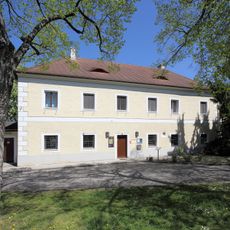
Pfarrhof Ebreichsdorf
2.3 km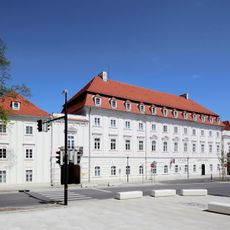
Thorntonhaus
2.3 km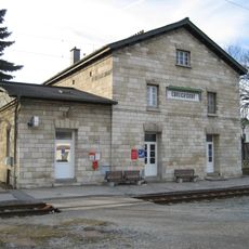
Aufnahmsgebäude Bahnhof Ebreichsdorf
1.6 km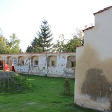
Schüttkasten Unterwaltersdorf
438 m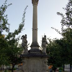
Mariensäule, Unterwaltersdorf
183 m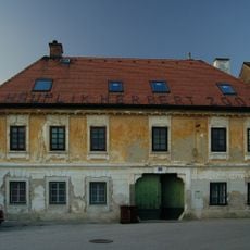
Wohnhaus
380 m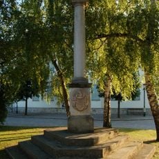
Maria Immaculata
2.2 km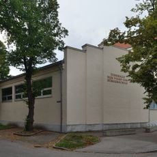
Hauptschule Ebreichsdorf
1.9 km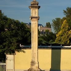
Pestkreuz
2.4 km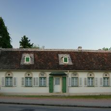
Bürgerhaus, Wiener Straße, Unterwaltersdorf 6
327 m
Wehrkirchhof mit Wehrmauer
25 m
Graves on Friedhof Ebreichsdorf
2.3 km
Friedhof Ebreichsdorf
2.3 kmReviews
Visited this place? Tap the stars to rate it and share your experience / photos with the community! Try now! You can cancel it anytime.
Discover hidden gems everywhere you go!
From secret cafés to breathtaking viewpoints, skip the crowded tourist spots and find places that match your style. Our app makes it easy with voice search, smart filtering, route optimization, and insider tips from travelers worldwide. Download now for the complete mobile experience.

A unique approach to discovering new places❞
— Le Figaro
All the places worth exploring❞
— France Info
A tailor-made excursion in just a few clicks❞
— 20 Minutes