
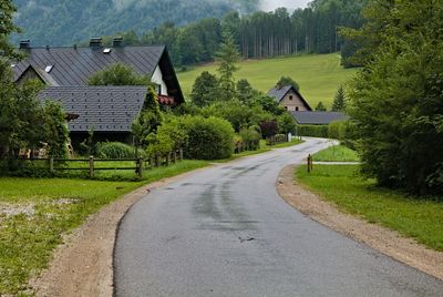
Ybbssteinbach, locality and cadastral community in Scheibbs District
Location: Göstling an der Ybbs
Elevation above the sea: 548 m
GPS coordinates: 47.80028,14.95944
Latest update: March 3, 2025 11:26
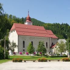
Pfarrkirche Göstling an der Ybbs
2.3 km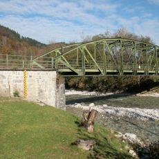
Straßenbrücke, Ybbsbrücke
2.7 km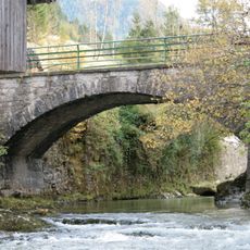
Straßenbrücke Göstling / Ybbs
943 m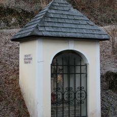
Wegkapelle
2.5 km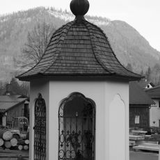
Nepomukstatue (Nepumukkapelle)
2.4 km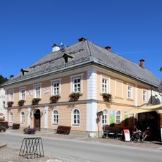
Rathaus Göstling an der Ybbs
2.3 km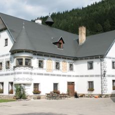
Bauernhaus Großstanglau
573 m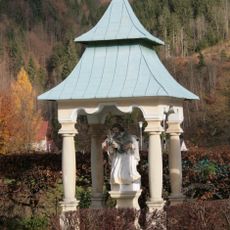
Figurenbildstock hl. Johannes Nepomuk
2 km
Straßenbrücke
943 m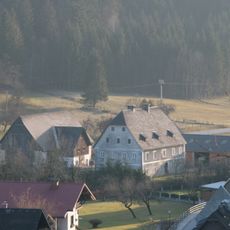
Bauernhof (Anlage) Schmidlehen (Wohnhaus und Kasten)
2.4 km
Straßenbrücke, Ybbsbrücke
2.7 km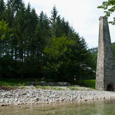
Stixlehener Vorderhammer, Hammerwerksruine
567 m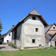
Sog. Kasten des Seisenhofes
2.4 km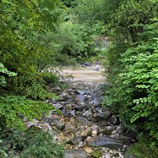
Hagenbach
122 m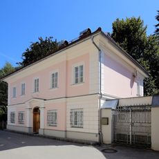
Ehem. Rothschild´sches Forstamtshaus mit Nebengebäude
2.2 km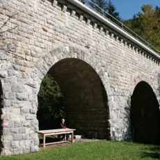
Hagenbachaquädukt
1.7 km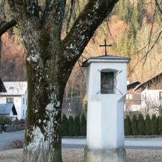
Bildstock
2.4 km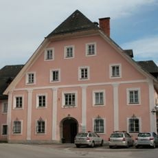
Fürstenhaus bzw. ehem. Rothschildsches Kinderasyl
2.1 km
Straßenbrücke Göstling / Ybbs
910 m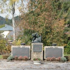
Kriegerdenkmal
2.2 km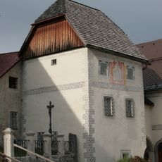
Pfarrstöckl, sog. Karner
2.3 km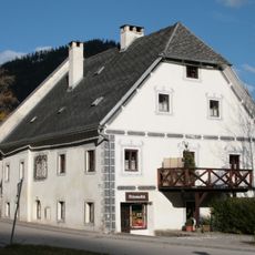
Faßziehhammerhaus
2.3 km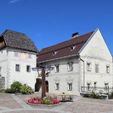
Pfarrhof
2.3 km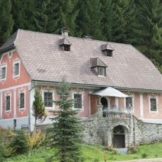
Sog. Kellerhaus, Rothschild'sche Forstverwaltung
2.1 km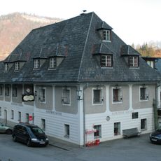
Gasthof Zur blauen Traube mit Wirtschaftsgebäude
2.4 km
Ehem. Feuerwehrdepot, ehem. Stall
2.1 km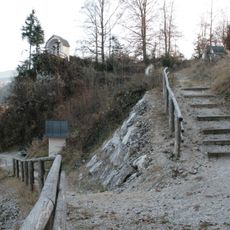
Kalvarienberg
2.4 km
NÖ-Naturdenkmal SB-059 Die Not
1.4 kmReviews
Visited this place? Tap the stars to rate it and share your experience / photos with the community! Try now! You can cancel it anytime.
Discover hidden gems everywhere you go!
From secret cafés to breathtaking viewpoints, skip the crowded tourist spots and find places that match your style. Our app makes it easy with voice search, smart filtering, route optimization, and insider tips from travelers worldwide. Download now for the complete mobile experience.

A unique approach to discovering new places❞
— Le Figaro
All the places worth exploring❞
— France Info
A tailor-made excursion in just a few clicks❞
— 20 Minutes