
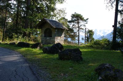
Bildstock Unteres Bild am Muttersberg, roman Catholic wayside shrine (column shrine) on the road to Laz in the Unteres Bild parcel in the municipality of Nüziders, Vorarlberg, Austria
Location: Nüziders
Elevation above the sea: 756 m
GPS coordinates: 47.17000,9.81992
Latest update: March 4, 2025 05:30
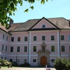
Gayenhofen Castle
1.4 km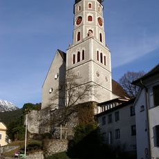
Laurentiuskirche
1.4 km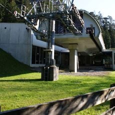
Muttersbergseilbahn
315 m
Muttersbergbahn
461 m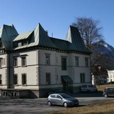
Villa Lorünser
1.1 km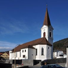
Pfarrkirche hll. Viktor und Markus, (Nüziders)
1.4 km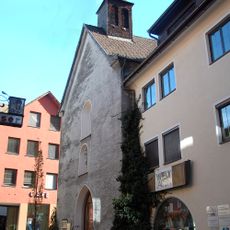
Trinity church, Bludenz
1.5 km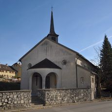
Fatima church, Bludenz
814 m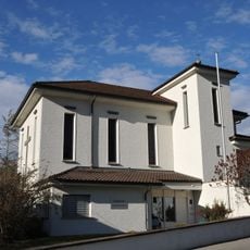
Good shepherd church Bludenz
1.1 km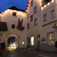
Stadtmuseum Bludenz
1.4 km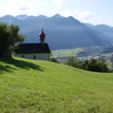
Mariä Heimsuchung, Nüziders
922 m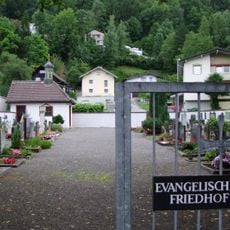
Bludenz Evangelischer Friedhof
1 km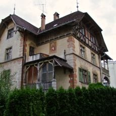
Bludenz Villa Alte Landstraße 18
1.2 km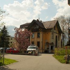
Villa Föger
1.2 km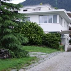
Bludenz Villa Beck
1.3 km
Bludenz Altes Rathaus
1.5 km
Villa
1.2 km
Bludenz Villa Alte Landstraße 17
1.2 km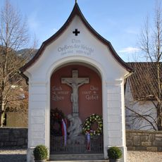
Kriegerdenkmal
1.4 km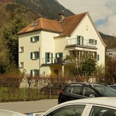
Bludenz Haus Tschofen
1.5 km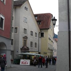
Wohnhaus
1.5 km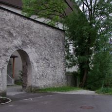
Bludenz Stadtbefestigung
1.4 km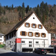
Gasthaus zum Schwarzen Adler
1.3 km
Bludenz Sonnenbergstraße Kindergarten
895 m
Bludenz Sonnenbergstraße Pfarrhof
825 m
Bludenz Spitalgasse 8 Wohnhaus
1.3 km
Bludenz ehem Musikschule
1.4 km
Chapel "Oberes Bild am Muttersberg"
1.1 kmVisited this place? Tap the stars to rate it and share your experience / photos with the community! Try now! You can cancel it anytime.
Discover hidden gems everywhere you go!
From secret cafés to breathtaking viewpoints, skip the crowded tourist spots and find places that match your style. Our app makes it easy with voice search, smart filtering, route optimization, and insider tips from travelers worldwide. Download now for the complete mobile experience.

A unique approach to discovering new places❞
— Le Figaro
All the places worth exploring❞
— France Info
A tailor-made excursion in just a few clicks❞
— 20 Minutes