
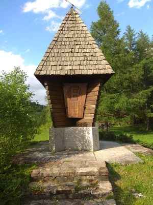
Seebergsattel long distance trail memorial, memorial to commemorate the crossing point of european long distance hiking trails E4 and E6
Location: Styria
Creator: Carl Hermann
Made from material: wood, stone
GPS coordinates: 47.62613,15.28333
Latest update: March 3, 2025 12:17
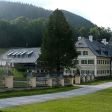
Brandhof
1.6 km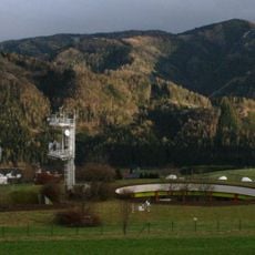
Erdfunkstelle Aflenz
8 km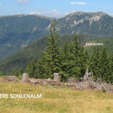
Wetterin
8.6 km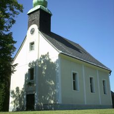
Filialkirche Gollrad
3.4 km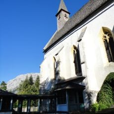
Filialkirche Seewiesen
1.1 km
Schiessling
5.3 km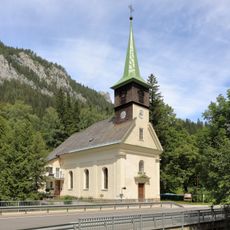
Kath. Filialkirche Mariae Heimsuchung
7.5 km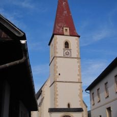
Kath. Pfarrkirche hl. Jakob der Ältere
8.5 km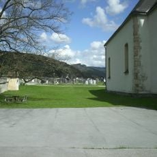
Kirchhof und Friedhof
8.5 km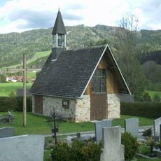
Evangelische Friedhofskapelle
8.7 km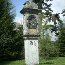
Bildstock
189 m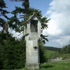
Bildstock
182 m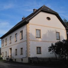
Pfarrhof
8.5 km
Gemeindeamt Turnau
8.6 km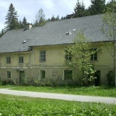
Verwaltungs- und Wohnhaus der k.u. k. Eisenwerke Gusswerk
3.2 km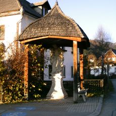
Figurenbildstock hl. Josef mit Kind
9.1 km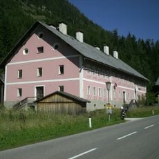
Ehem. Arbeiterwohnhaus
6.4 km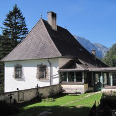
Pfarrhof Seewiesen
1.1 km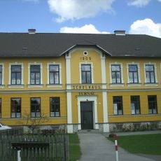
Neue Volksschule, ehem. Mesnerhaus
8.8 km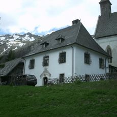
Pfarrstadl
1.1 km
Gedenkbild Unglück 1769
3 km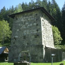
Hochofenstock Marienhütte
6.4 km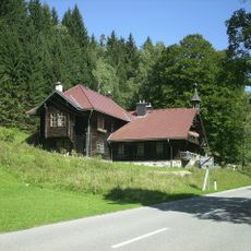
Landhaus
6.6 km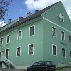
Wohnhaus, Alte Volksschule
8.5 km
Böse Mauer
4.8 km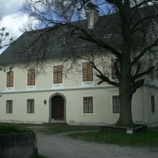
Mühle, Wasserstadtmühle
8.9 km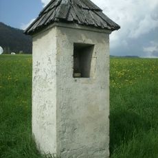
Bildstock
8.6 km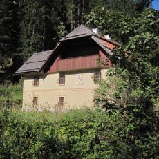
Gewerkenhaus vulgo Tatschenhammer
5.8 kmVisited this place? Tap the stars to rate it and share your experience / photos with the community! Try now! You can cancel it anytime.
Discover hidden gems everywhere you go!
From secret cafés to breathtaking viewpoints, skip the crowded tourist spots and find places that match your style. Our app makes it easy with voice search, smart filtering, route optimization, and insider tips from travelers worldwide. Download now for the complete mobile experience.

A unique approach to discovering new places❞
— Le Figaro
All the places worth exploring❞
— France Info
A tailor-made excursion in just a few clicks❞
— 20 Minutes