
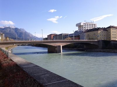
Straßenbrücke, Universitätsbrücke, Innbrücke in Innsbruck, stadtseitiger Teil
Location: Innsbruck
Part of: Universitätsbrücke
GPS coordinates: 47.26537,11.38462
Latest update: March 4, 2025 18:49
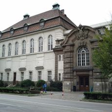
University and State Library Tyrol
210 m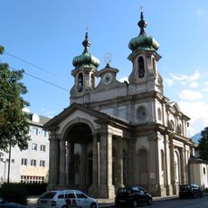
Johanneskirche Innsbruck
308 m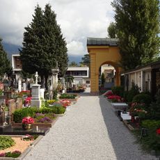
Cemetery Mariahilf
341 m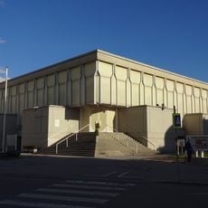
Petrus Canisius Church
341 m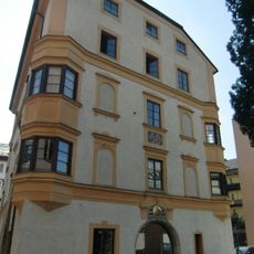
Ansitz Albersheim
264 m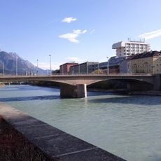
Universitätsbrücke
0 m
Universitätshauptgebäude
262 m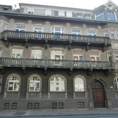
Landeskrankenhaus, Zahlstock
251 m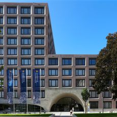
Ágnes-Heller-Haus
356 m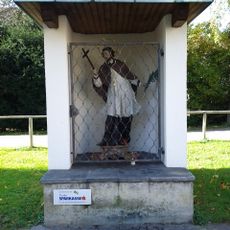
Wegkapelle hl. Johannes Nepomuk
367 m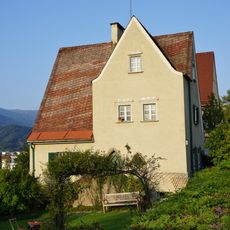
Villa Walter
365 m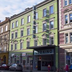
Leokino
315 m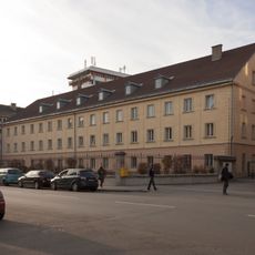
Landespolizeidirektion Tirol
205 m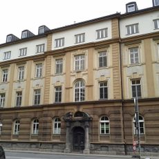
Kaiser-Franz-Josef-Jubiläums-Siechenhaus
292 m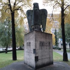
War memorial at University of Innsbruck
306 m
Landeskrankenhaus, Haupthaus, HNO, HSS, ZMK-Klinik
240 m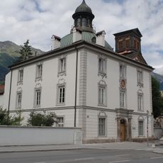
Kunstkammer Mariahilf
351 m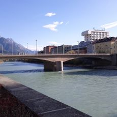
Straßenbrücke, Universitätsbrücke
0 m
Austriahaus
164 m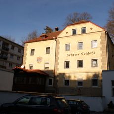
Scherer-Schloessl
239 m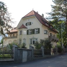
Villa Steyrer, Innsbruck
315 m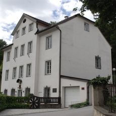
Widum Mariahilf einschließlich Einfriedungsmauer an der Höttinger Au
367 m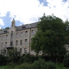
Volksschule Mariahilf
312 m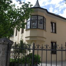
Kindergarten, sog. Spielmannschlössl einschließlich Einfriedungsmauer an der Höttinger Au
297 m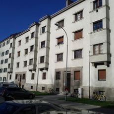
Kommunaler Wohnbau
318 m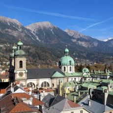
Cultural Landscape of Innsbruck-Nordkette/Karwendel
223 m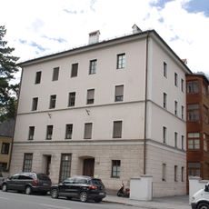
Miethaus
314 m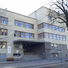
Hauptschule Hötting
218 mReviews
Visited this place? Tap the stars to rate it and share your experience / photos with the community! Try now! You can cancel it anytime.
Discover hidden gems everywhere you go!
From secret cafés to breathtaking viewpoints, skip the crowded tourist spots and find places that match your style. Our app makes it easy with voice search, smart filtering, route optimization, and insider tips from travelers worldwide. Download now for the complete mobile experience.

A unique approach to discovering new places❞
— Le Figaro
All the places worth exploring❞
— France Info
A tailor-made excursion in just a few clicks❞
— 20 Minutes