
Siegendorfer Pußta und Heide, protected area in Austria (1015)
Location: Siegendorf
Inception: 1970
GPS coordinates: 47.78030,16.58339
Latest update: March 6, 2025 20:03

Pfarrkirche hl. Johannes der Täufer, Sankt Margarethen im Burgenland
3.1 km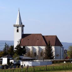
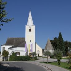
Pfarrkirche zu Allerheiligen, Siegendorf
3.1 km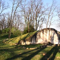
Siegendorf tumuli
607 m
Urbankapelle Siegendorf
3.4 km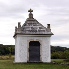
Rochuskapelle, Siegendorf
2.8 km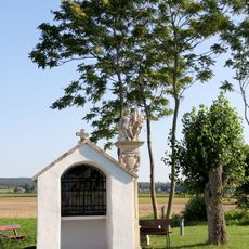
Flur-/Wegkapelle, Florianikapelle
2.5 km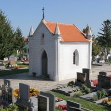
Friedhofskapelle
2.9 km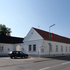
Rathaus/Gemeindeamt und Hauskapelle
3.4 km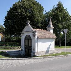
Flur-/Wegkapelle, Kreuzkapelle
3.6 km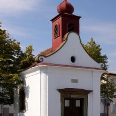
Ortskapelle, Johann Nepomuk-Kapelle
3.1 km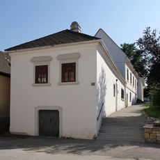
Wohn- und Geschäftshaus, Alte Schule
3.2 km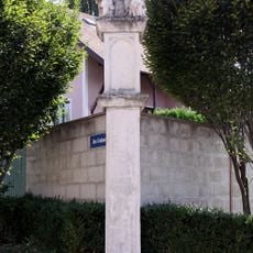
Figurenbildstock, Anna-Pfeiler
3 km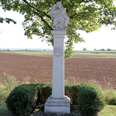
Figurenbildstock
3.5 km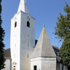
Karner
3.1 km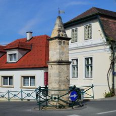
Pranger
3.3 km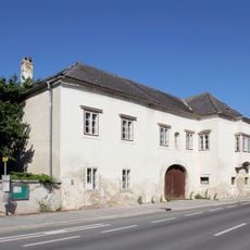
Ansitz, Herrschaftshaus, Edelhof
3.4 km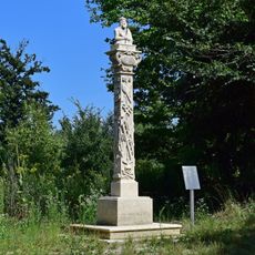
Bildsäule Ecce Homo, Sankt Margarethen im Burgenland
3.6 km
Pfarrhof
3 km
Burg Siegendorf
3.3 km
Bildstock
2.7 km
Ecce homo, Siegendorf
2.9 km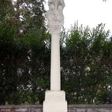
Pest-/Dreifaltigkeitssäule
3.8 km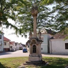
Pest-/Dreifaltigkeitssäule
3.2 km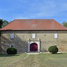
Forstamtsgebäude
3 km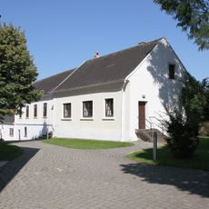
Ehemaliger Kirchhof
3.1 km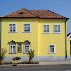
Bürgerhaus
3.4 km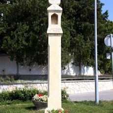
Kruzifix/Kreuz
3.1 km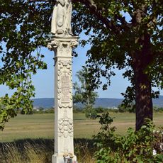
Antoniussäule
3.6 kmReviews
Visited this place? Tap the stars to rate it and share your experience / photos with the community! Try now! You can cancel it anytime.
Discover hidden gems everywhere you go!
From secret cafés to breathtaking viewpoints, skip the crowded tourist spots and find places that match your style. Our app makes it easy with voice search, smart filtering, route optimization, and insider tips from travelers worldwide. Download now for the complete mobile experience.

A unique approach to discovering new places❞
— Le Figaro
All the places worth exploring❞
— France Info
A tailor-made excursion in just a few clicks❞
— 20 Minutes