
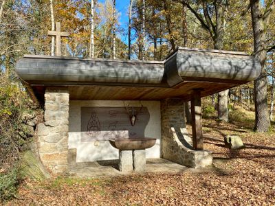
Saint Hubertus Chapel, chapel in Gmünd, Lower Austria
Location: Gmünd
Elevation above the sea: 503 m
GPS coordinates: 48.77860,14.99656
Latest update: March 6, 2025 00:19
Blockheide
145 m
Malerwinkel
765 m
Lainsitzniederung
730 m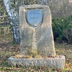
Gedenkstein Carl Hermann
539 m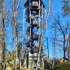
Blockheideturm
132 m
Geologisches Freilichtmuseum Blockheide
263 m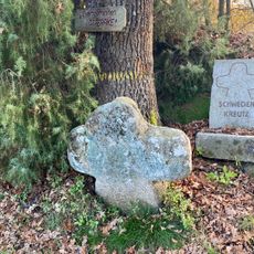
Schwedenkreuz, Naturpark Blockheide Gmünd
427 m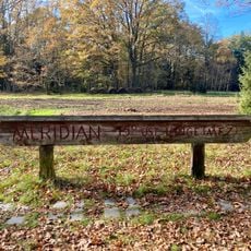
Holztafel 15. Meridian Ost Blockheide
413 m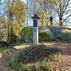
Carl-Hermann-Bildstock
95 m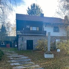
Carl-Hermann-Haus
562 m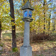
Bildstock beim Blockheideteich
186 m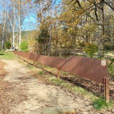
Meridianschnitt
341 m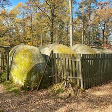
Stone labyrinth
106 m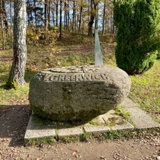
Meridian-Sonnenuhr
324 m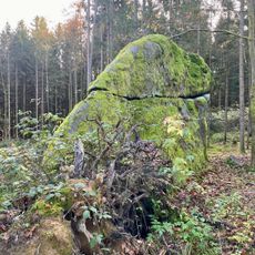
Haifischstein
816 m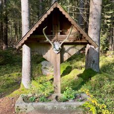
Jägerkreuz
777 m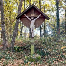
Kreuz am Weg
270 m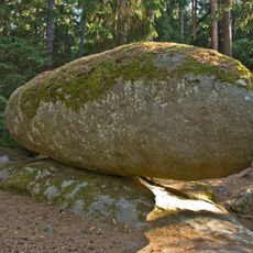
Rocking stone southeastern of Blockheide
744 m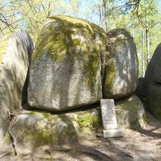
Koboldsteine
204 m
NÖ-Naturdenkmal GD-024 Felsgebilde Christophstein
736 m
NÖ-Naturdenkmal GD-025 Felsgebilde Teufelsbettstein
433 m
NÖ-Naturdenkmal GD-026 Felsgebilde Fuchsstein
569 m
Rocking stone near Blockheide observation tower
183 m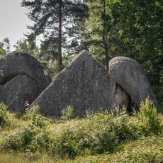
Pyramidenstein
324 m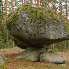
NÖ-Naturdenkmal GD-023 Felsgebilde Pilzstein
769 m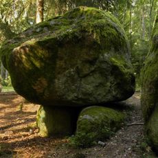
Rocking stone in Kirchenwald forest
599 m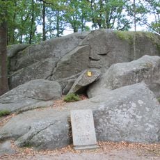
NÖ-Naturdenkmal GD-008 Felsgebilde Schullerstein
401 m
NÖ-Naturdenkmal GD-007 Felsgebilde Laibbrotstein oder Teufelsbrotlaib
430 mReviews
Visited this place? Tap the stars to rate it and share your experience / photos with the community! Try now! You can cancel it anytime.
Discover hidden gems everywhere you go!
From secret cafés to breathtaking viewpoints, skip the crowded tourist spots and find places that match your style. Our app makes it easy with voice search, smart filtering, route optimization, and insider tips from travelers worldwide. Download now for the complete mobile experience.

A unique approach to discovering new places❞
— Le Figaro
All the places worth exploring❞
— France Info
A tailor-made excursion in just a few clicks❞
— 20 Minutes