
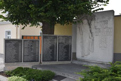
Kriegerdenkmal Hochwolkersdorf, Kriegerdenkmal in Niederösterreich
Location: Hochwolkersdorf
Creator: Franz Barwig
GPS coordinates: 47.66223,16.28078
Latest update: March 5, 2025 12:41
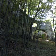
Burgruine Schwarzenbach
5.1 km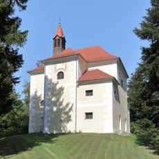
Rosalienkapelle Forchtenstein
4.4 km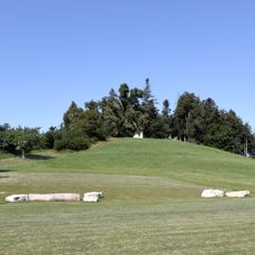
Heuberg
4.4 km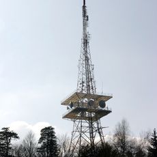
Sender Heuberg
4.4 km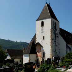
Pfarrkirche St. Lambert, Bromberg, Lower Austria
5.4 km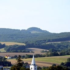
Sieggrabener Kogel
6.1 km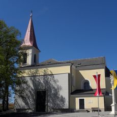
Kath. Pfarrkirche hl. Laurentius
23 m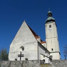
Saints Peter and Paul Church (Wiesmath)
4.9 km
Schwarzkogel (Rosaliengebirge)
5 km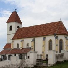
Saint Anne Church
3.8 km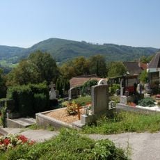
Ehem. Kirchhof/Friedhof
5.4 km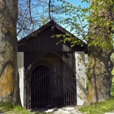
Türkenkapelle
192 m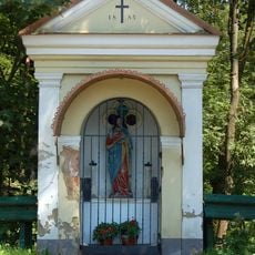
Flur-/Wegkapelle
5.1 km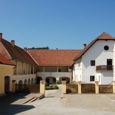
Dominikalhof, Bromberg, Lower Austria
5.3 km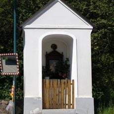
Flur-/Wegkapelle
5.5 km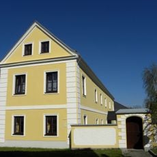
Pfarrhof Wiesmath
5 km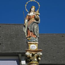
Maria Column (Wiesmath)
5 km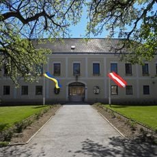
Schloss Hochwolkersdorf
139 m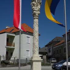
Anna-Selbdritt-Säule, Hochwolkersdorf
24 m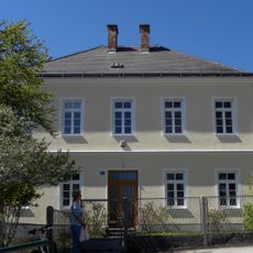
Pfarrhof
16 m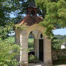
Kriegerdenkmal
5.4 km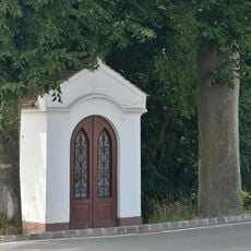
Weißes Kreuz, Wiesmath
5.7 km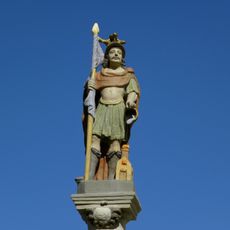
Statue of Saint Florian
5 km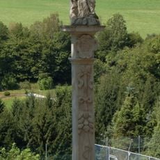
Pestkreuz Bromberg
5.4 km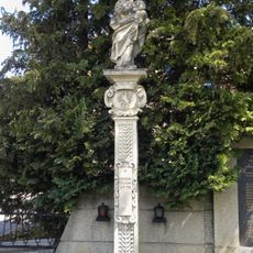
Mariensäule
5.9 km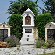
Kriegerdenkmal Wiesmath
4.9 km
Figurenbildstock hl. Johannes Nepomuk
5.9 km
Kaiser-Franz-Joseph-Jubiläumshaus, ehem. Amtsgebäude
57 mVisited this place? Tap the stars to rate it and share your experience / photos with the community! Try now! You can cancel it anytime.
Discover hidden gems everywhere you go!
From secret cafés to breathtaking viewpoints, skip the crowded tourist spots and find places that match your style. Our app makes it easy with voice search, smart filtering, route optimization, and insider tips from travelers worldwide. Download now for the complete mobile experience.

A unique approach to discovering new places❞
— Le Figaro
All the places worth exploring❞
— France Info
A tailor-made excursion in just a few clicks❞
— 20 Minutes