Enable Location

We need your location to show you interesting places around you

Discover nearby places

Find interesting locations and hidden gems around you

Precise directions

Get accurate directions and distances to places

Your location is never shared with other users. It's only used when you tap the location button.

Bhola District

Log in to your account

Start exploring — it's free

Trusted by 63,032 travelers worldwide

Continue with Google
Continue with Apple
or

We will send you a code to connect

By continuing, you accept our Terms and Conditions and our Privacy Policy

Check your inbox

We've sent a pincode in your inbox. Please enter the code below.

Discussion Reviews 1 Photos
27.4k Popularity

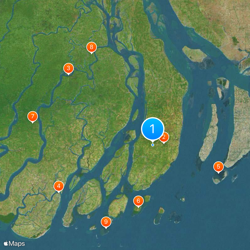
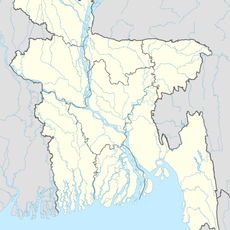
Bhola District, Administrative district in Barisal Division, Bangladesh.

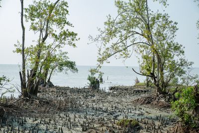
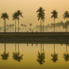
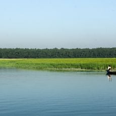
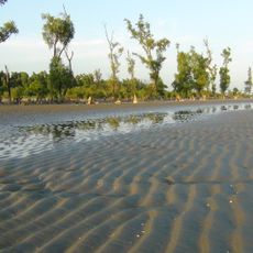
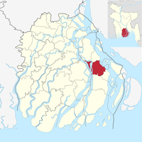
Bhola District is an administrative district in Barisal Division and encompasses the largest island of Bangladesh. The area spreads across about 3,400 square kilometers and is surrounded by the Bay of Bengal, the Meghna River, and the Tentulia River.

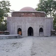
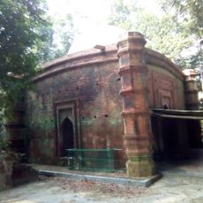
The area began to develop around the 13th century and was later organized as a subdivision under Noakhali district. It received its status as an independent district in 1984.

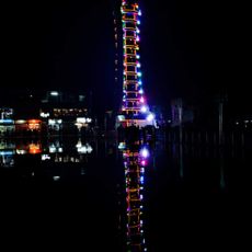
The district preserves Bengali traditions with performances of Lalon songs and Bhatiyali music that people gather to hear. Islamic customs and Hindu celebrations are both part of how communities mark important occasions.

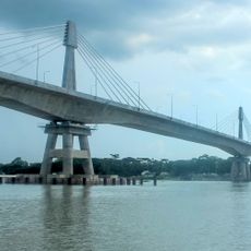
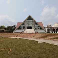
Bhola city serves as the main administrative center where government services are based and is the focal point of district activity. The territory is divided into seven smaller administrative divisions, each organizing local services and functions for their areas.

The district holds natural gas reserves that power a local electricity station serving the area. This resource plays an important role in the district's energy supply and infrastructure growth.

The community of curious travelers

AroundUs brings together thousands of curated places, local tips, and hidden gems, enriched daily by 60,000 contributors worldwide.

Start exploring
Location
Capital city
Bhola
Shares border with
Barishal District, Lakshmipur District, Noakhali District, Patuakhali District
GPS coordinates
22.17853,90.71010
Latest update
December 20, 2025 13:49
Reviews
Share your experience

No review yet

Discussions
Start a discussion...

No discussion yet

« Bhola District - Administrative district in Barisal Division, Bangladesh » is provided by Around Us (aroundus.com). Images and texts are derived from Wikimedia project under a Creative Commons license. You are allowed to copy, distribute, and modify copies of this page, under the conditions set by the license, as long as this note is clearly visible.

Discover hidden gems everywhere you go!

From secret cafés to breathtaking viewpoints, skip the crowded tourist spots and find places that match your style. Our app makes it easy with voice search, smart filtering, route optimization, and insider tips from travelers worldwide. Download now for the complete mobile experience.

Around Us App Screenshot

A unique approach to discovering new places

Le Figaro

All the places worth exploring

France Info

A tailor-made excursion in just a few clicks

20 Minutes

Around Us
Travel Guide & Maps
Download

Send to your phone

QR Code
1

Open the camera app on your mobile.

2

Point at the QR code with your camera. A notification will appear.

3

Tap the notification to open the link.