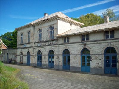
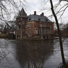
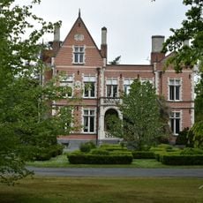
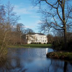
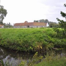
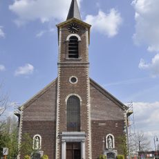
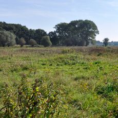
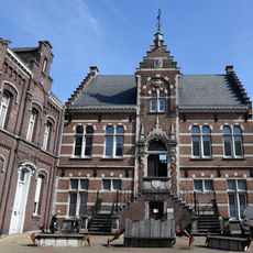
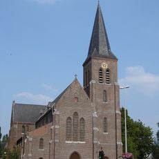
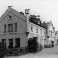
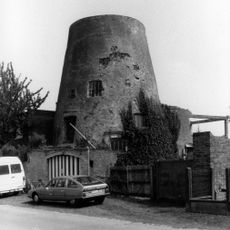
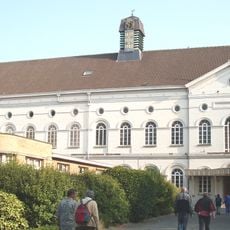
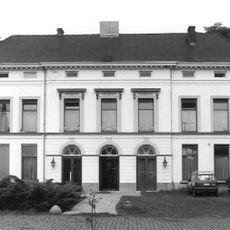
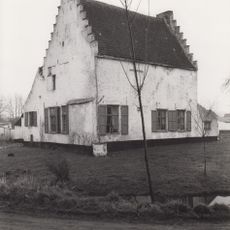
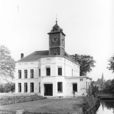
Melle, former municipality in East Flanders, Belgium
Location: Arrondissement of Ghent
Capital city: Melle
Elevation above the sea: 16 m
Website: https://www.melle.be/
Part of: Emergency zone East Flanders Center, Politiezone Regio Rhode & Schelde
Shares border with: Destelbergen, Merelbeke, Ghent, Oosterzele, Wetteren
Address: 150 Brusselsesteenweg 9090 Melle
Phone: +3292521023
Email: infodienst@melle.be
Website: https://melle.be
GPS coordinates: 51.00000,3.80000
Latest update: May 27, 2025 17:31
Familiepark Harry Malter
2.2 km
Kasteel de Bueren
2 km
Kasteel de Potter d'Indoye
621 m
Castle Stas de Richelle
3.3 km
Nieuwenbosch Abbey
2 km
Sint-Martinuskerk
539 m
Museum Morfologie
2.3 km
Kalverbos, Heusden
1.2 km
Gemeentelijk Museum Melle
372 m
Sint-Bavokerk
1.8 km
Heilig Hartkerk
2.8 km
Kasteel Ysebrant de Lendonck
2.2 km
Kasteel Ter Heide
1.7 km
Bosseveerhoeve
2 km
Kasteel baron Braun
1.5 km
Watertoren
315 m
Stampkotmolen
3.1 km
Jozefietenklooster
724 m
Molen Van Roo
2 km
Kasteel Rotsart de Hertaing
3.1 km
Spaans Hof
1.9 km
't Goed ter Jacht
3 km
Goed ten Abeele
2 km
Kasteel Morel de Westgaver
3.4 km
Remuemolen
3.4 km
Sint-Aldegondiskerk
3 km
Kasteel Ganzendries
2.6 km
Kasteel Vieil Escaut
1.6 kmReviews
Visited this place? Tap the stars to rate it and share your experience / photos with the community! Try now! You can cancel it anytime.
Discover hidden gems everywhere you go!
From secret cafés to breathtaking viewpoints, skip the crowded tourist spots and find places that match your style. Our app makes it easy with voice search, smart filtering, route optimization, and insider tips from travelers worldwide. Download now for the complete mobile experience.
A unique approach to discovering new places❞
— Le Figaro
All the places worth exploring❞
— France Info
A tailor-made excursion in just a few clicks❞
— 20 Minutes