
Denderleeuw, municipality in East Flanders, Belgium
Location: Arrondissement of Aalst
Capital city: Denderleeuw
Part of: Politiezone Denderleeuw/Haaltert, Emergency zone East Flanders South East
Shares border with: Aalst, Affligem, Ninove
Phone: +3253640640
Email: lokaalbestuur@denderleeuw.be
Website: https://denderleeuw.be
GPS coordinates: 50.88333,4.08333
Latest update: May 27, 2025 17:31
Groot Park
5.8 km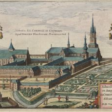
Saint Cornelius and Saint Cyprian Abbey in Ninove
4.8 km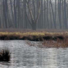
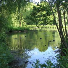
Wellemeersen
2.6 km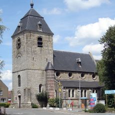
Sint-Michielskerk
3.2 km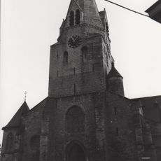
Sint-Amanduskerk
76 m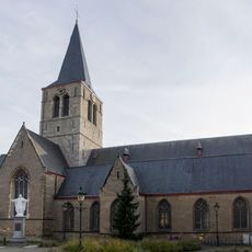
Sint-Amanduskerk
4.7 km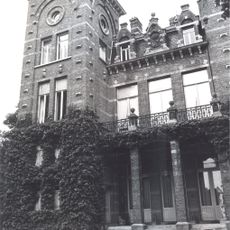
Domein Ronsevaal
4.9 km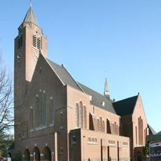
Onze-Lieve-Vrouw-Hemelvaartkerk
4.5 km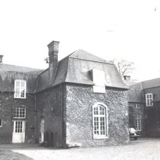
Kasteel Overhamme
5.4 km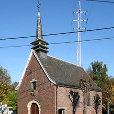
Onze-Lieve-Vrouw Termurenkapel
4.9 km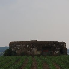
Bunker 8
5 km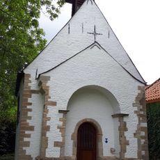
Kluiskapel
4.7 km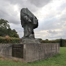
Beeld van de Dikke van Pamel
4.1 km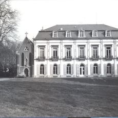
Kasteel De Rozerie
5.5 km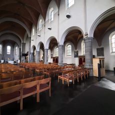
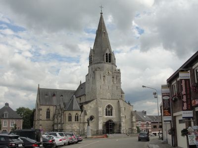
Sint-Niklaaskerk
1.4 km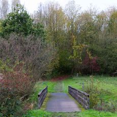
Hertigembos
2.7 km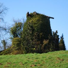
Nieuwe molen, Hekelgem
3.6 km
Oliemolen
5.7 km
Bellemolen
2.4 km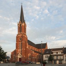
Sint-Pieters-Bandenkerk
3.3 km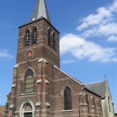
Sint-Johanneskerk
1.5 km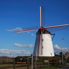
Oude molen, Hekelgem
3.3 km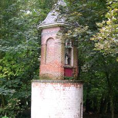
Domein Verbrugghen
3.6 km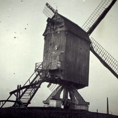
De Pauselijke Zoeaaf
4.5 km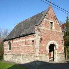
Sint-Amanduskapel
3.4 km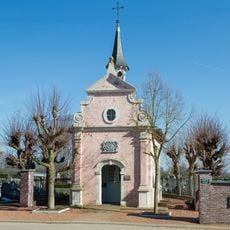
Kapel Maria-van-Bijstand
5.1 km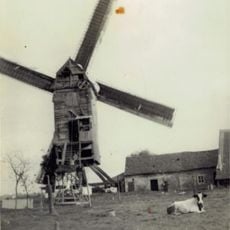
Keirekensmolen
3.4 km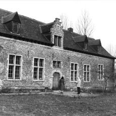
Hof ter Saele
3.1 kmVisited this place? Tap the stars to rate it and share your experience / photos with the community! Try now! You can cancel it anytime.
Discover hidden gems everywhere you go!
From secret cafés to breathtaking viewpoints, skip the crowded tourist spots and find places that match your style. Our app makes it easy with voice search, smart filtering, route optimization, and insider tips from travelers worldwide. Download now for the complete mobile experience.

A unique approach to discovering new places❞
— Le Figaro
All the places worth exploring❞
— France Info
A tailor-made excursion in just a few clicks❞
— 20 Minutes