
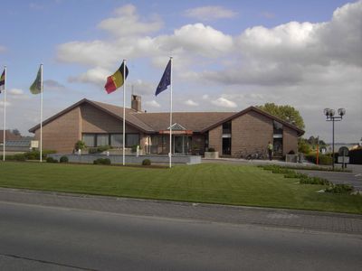
Lierde, municipality in East Flanders, Belgium
Location: Arrondissement of Oudenaarde
Inception: January 1, 1977
Capital city: Sint-Martens-Lierde
Elevation above the sea: 33 m
Part of: Police zone Geraardsbergen-Lierde, Emergency zone Flemish Ardennes
Shares border with: Zottegem, Herzele, Brakel
Phone: +3255431010
Email: communicatie@lierde.be
Website: https://lierde.be
GPS coordinates: 50.81667,3.85000
Latest update: May 27, 2025 17:40
Tenbosse
6 km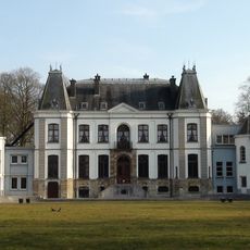
Kasteel van Lilare
5.2 km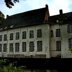
Boelare Castle
4.6 km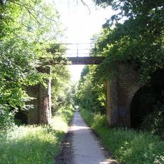
Mijnwerkerspad
5.2 km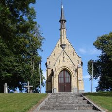
Toepkapel
5.5 km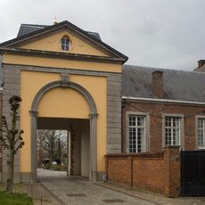
Kartuizerpriorij Sint-Martens-Bos
2.4 km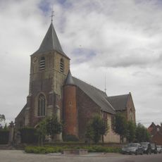
Sint-Amanduskerk
4.1 km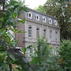
Kasteel Topbronnen
5.5 km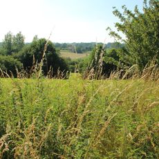
Parkbos-Uilenbroek
2.4 km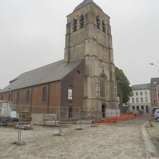
Sint-Pieter-in-Bandenkerk
6.2 km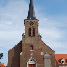
Sint-Maria-Magdalenakerk
531 m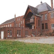
Kasteel ten Riede
90 m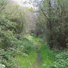
Moenebroek
3.2 km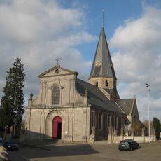
Onze-Lieve-Vrouw-ten-Hemelopneming
4.3 km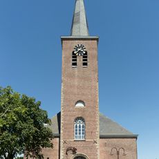
Onze-Lieve-Vrouwkerk
6.2 km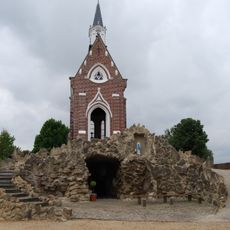
Onze-Lieve-Vrouw-van-Lourdeskapel
583 m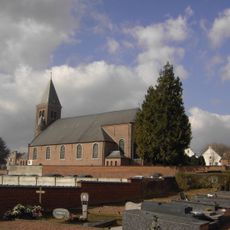
Sint-Bavokerk
5.8 km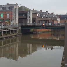
Wijngaardbrug
5.2 km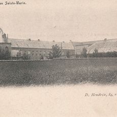
Klooster van Sint-Maria-Oudenhove
4.2 km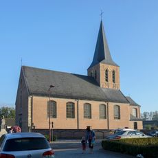
Sint-Pietersbandenkerk
3.2 km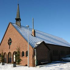
Onze-Lieve-Vrouw-van-Fatimakerk
3.6 km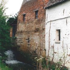
Lindeveldmolen
2.2 km
Broeckemolen
1.4 km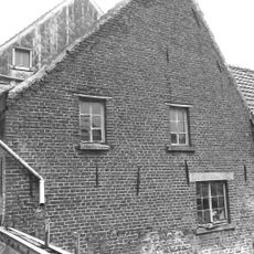
Watermolen Berlengée
2.4 km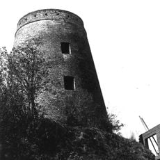
Molen Vandevelde
3.3 km
Papiermolen Fontaine
5.5 km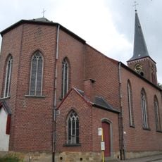
Sint-Maria-Magdalenakerk
538 mVisited this place? Tap the stars to rate it and share your experience / photos with the community! Try now! You can cancel it anytime.
Discover hidden gems everywhere you go!
From secret cafés to breathtaking viewpoints, skip the crowded tourist spots and find places that match your style. Our app makes it easy with voice search, smart filtering, route optimization, and insider tips from travelers worldwide. Download now for the complete mobile experience.

A unique approach to discovering new places❞
— Le Figaro
All the places worth exploring❞
— France Info
A tailor-made excursion in just a few clicks❞
— 20 Minutes