
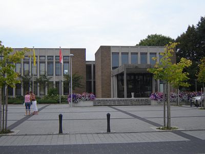
De Pinte, former municipality in East Flanders, Belgium
Location: Arrondissement of Ghent
Capital city: De Pinte
Part of: Emergency zone East Flanders Center, Politiezone Schelde-Leie
Shares border with: Ghent, Merelbeke, Nazareth, Gavere, Sint-Martens-Latem
Phone: +3292808080
Email: communicatie@depinte.be
Website: https://depinte.be
GPS coordinates: 50.99190,3.64780
Latest update: May 27, 2025 16:36
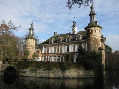
Kasteel Puttenhove
3.5 km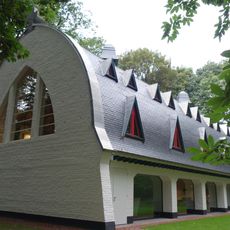
Latemse Kluis
2.5 km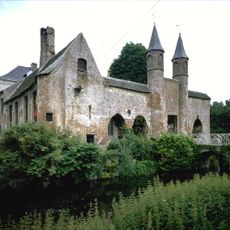
Reijvissche Castle
3.9 km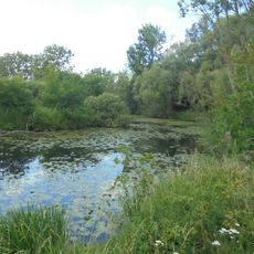
Merelbeekse Scheldemeersen
5 km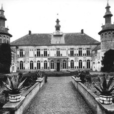
Kasteel van Welden
3.2 km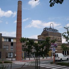
Brouwerij Ide
3.9 km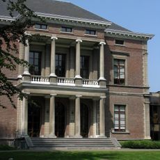
Scheldevelde castle
1.2 km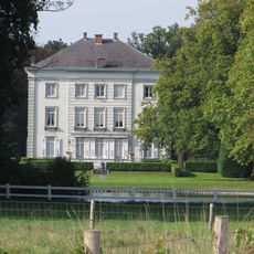
Kasteel Grand Noble
2.2 km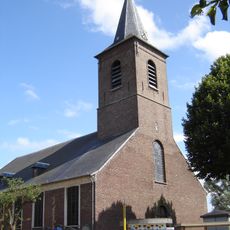
Onze-Lieve-Vrouwekerk
3.6 km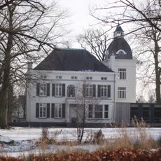
Kasteel Viteux
62 m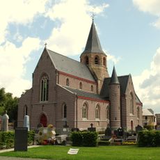
Sint-Martinuskerk
5.2 km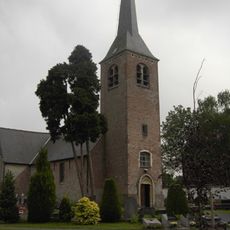
Sint-Stephanuskerk
5 km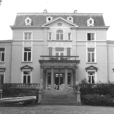
Kasteel van Hemelrijk
2.5 km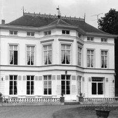
Kasteel De Klosse
2.8 km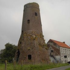
Stenen molen, Melsen
5 km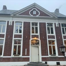
Pastorie, Zevergem
3.6 km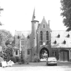
Kasteel Ten Dale
5.2 km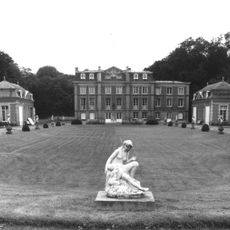
Kasteel Nieuwgoed
3.6 km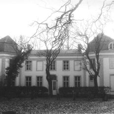
Kasteel van Boeregem
3 km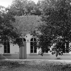
Kasteel Verhaege
4.9 km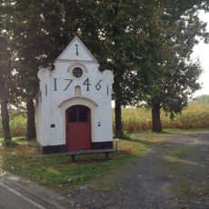
Sint-Annakapel
2.8 km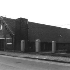
Brouwerij De Schelde
4.6 km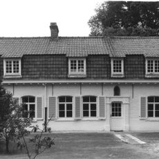
Predikherenhof
3.1 km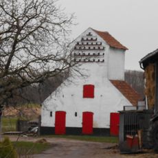
Duiventoren Zevergem
4 km
Kastelensite
3.5 km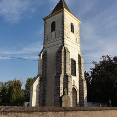
Former Sint-Amanduskerk
4.1 km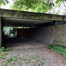
Juliaan Lampens' house
4 km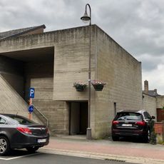
Eke/Nazareth library
3.9 kmVisited this place? Tap the stars to rate it and share your experience / photos with the community! Try now! You can cancel it anytime.
Discover hidden gems everywhere you go!
From secret cafés to breathtaking viewpoints, skip the crowded tourist spots and find places that match your style. Our app makes it easy with voice search, smart filtering, route optimization, and insider tips from travelers worldwide. Download now for the complete mobile experience.

A unique approach to discovering new places❞
— Le Figaro
All the places worth exploring❞
— France Info
A tailor-made excursion in just a few clicks❞
— 20 Minutes