
Oosterzele, municipality in East Flanders, Belgium
Location: Arrondissement of Ghent
Capital city: Oosterzele
Part of: Politiezone Regio Rhode & Schelde, Emergency zone East Flanders Center
Shares border with: Melle, Merelbeke, Gavere, Zottegem, Sint-Lievens-Houtem, Wetteren
Phone: +3293625009
Email: info@oosterzele.be
Website: http://oosterzele.be
GPS coordinates: 50.94580,3.80420
Latest update: May 27, 2025 17:31
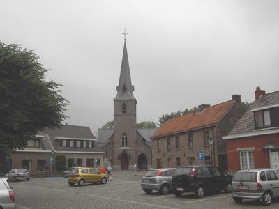
Sint-Annakerk
3.9 km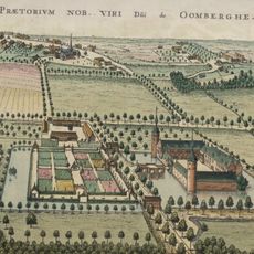
Kasteel Oombergen
5.4 km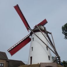
Klepmolen, Balegem
4.9 km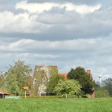
Coenemolen
2.7 km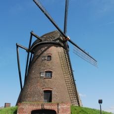
Guillotinemolen, Balegem
2.6 km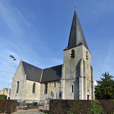
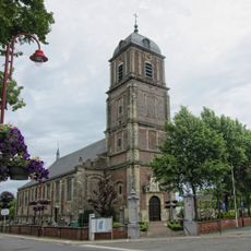
Saint Agatha church
2.6 km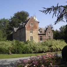
Kasteel van Zink
3.8 km
Pastorite garden of Oombergen
5.7 km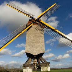
Windekemolen, Balegem
2 km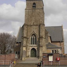
Sint-Martinuskerk
5.7 km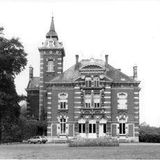
Kasteel Stas de Richelle
4.6 km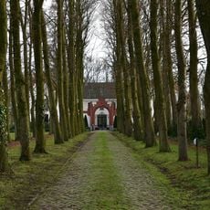
Karmelietenklooster
3.4 km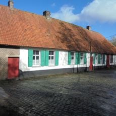
Hof ter Loo, Moortsele
2.3 km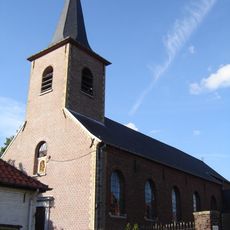
Sint-Pietersbandenkerk
6.4 km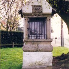
Kapel van Issegem
2 km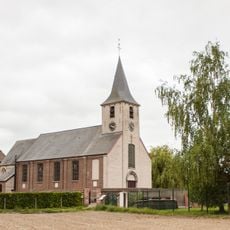
Sint-Bavokerk
2.9 km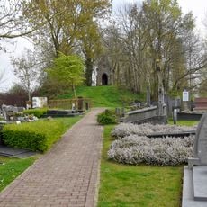
Oud Kerkhof
4.4 km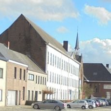
Klooster Tota Pulchra
162 m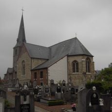
Sint-Amanduskerk
2.2 km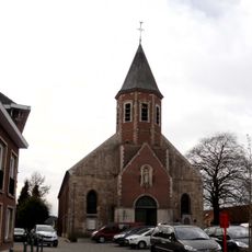
Sint-Gangulfuskerk
53 m
Franciscanessenklooster
6.3 km
Thienpontsmolen
3.8 km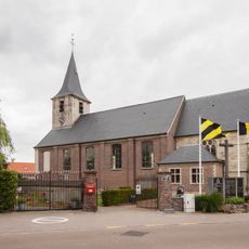
Gijzenzele Churchyard
2.9 km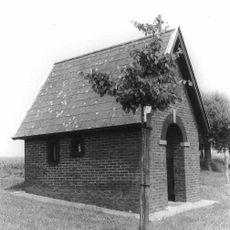
Koortskapel
6 km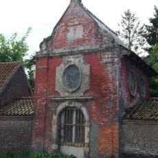
Onze-Lieve-Vrouwekapel
776 m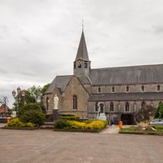
Scheldewindeke Churchyard
1.6 km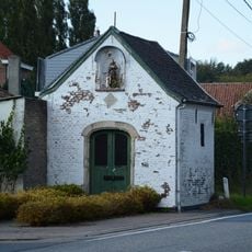
Sint-Rochuskapel
1.4 km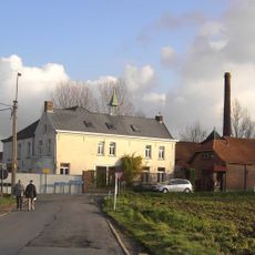
Farm and agricultural distillery Den Betsberg
1.9 kmVisited this place? Tap the stars to rate it and share your experience / photos with the community! Try now! You can cancel it anytime.
Discover hidden gems everywhere you go!
From secret cafés to breathtaking viewpoints, skip the crowded tourist spots and find places that match your style. Our app makes it easy with voice search, smart filtering, route optimization, and insider tips from travelers worldwide. Download now for the complete mobile experience.

A unique approach to discovering new places❞
— Le Figaro
All the places worth exploring❞
— France Info
A tailor-made excursion in just a few clicks❞
— 20 Minutes