
Geetbets, municipality in Flemish Brabant, Belgium
Location: Arrondissement of Leuven
Capital city: Geetbets
Part of: Emergency zone Flemish Brabant East, policijska cona Hageland
Shares border with: Herk-de-Stad, Zoutleeuw, Kortenaken, Halen, Nieuwerkerken, Sint-Truiden
Phone: +3211586500
Email: info@geetbets.be
Website: https://geetbets.be
GPS coordinates: 50.88333,5.11667
Latest update: May 27, 2025 17:31
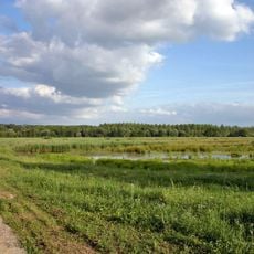
Het Vinne
4.8 km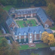
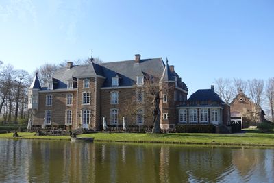
Château de Betz
3.5 km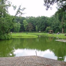
Kasteel de Pierpont
6.8 km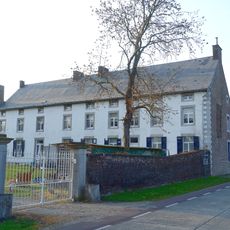
Kasteel van Hamont
4.2 km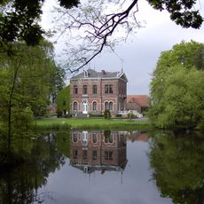
Kasteel van Blekkom
5.3 km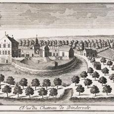
Kasteel van Binderveld
4.4 km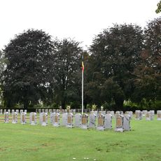
Belgian military cemetery Halen
6.2 km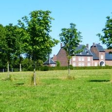
Nieuwerkerken Castle
6.1 km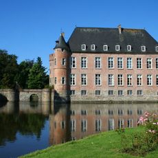
Landwijk Castle
6.6 km
Museum Slag der Zilveren Helmen
5.2 km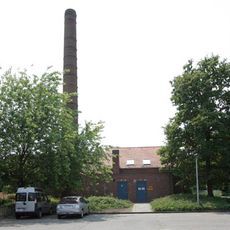
Panoven
6.3 km
Cistercian Abbey of Rotem
5.2 km
Abdij van Terbeek
5.6 km
Rotemse Molen
5.3 km
Onze-Lieve-Vrouw-van-de-Ossenwegkapel
4.1 km
Onze-Lieve-Vrouw Geboortekerk
6.4 km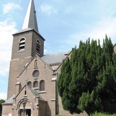
Sint-Pieterskerk
5.8 km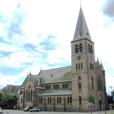
Onze-Lieve-Vrouw Onbevlekt Ontvangenkerk
6.6 km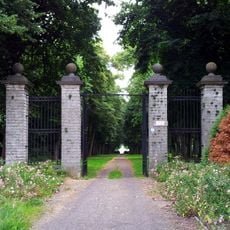
Kasteeldomein van Duras
5.7 km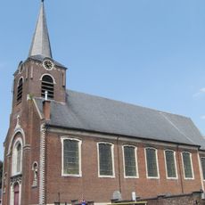
Sint-Pauluskerk
737 m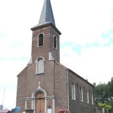
Sint-Andreaskerk
4.8 km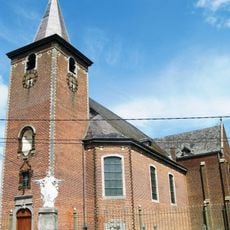
Sint-Ambrosiuskerk
3.4 km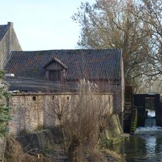
Elsbroekmolen
4.3 km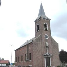
Sint-Jan Baptistkerk
4.2 km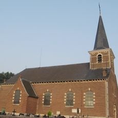
Sint-Cyriacuskerk
2.3 km
Uitkijktoren
4.8 km
Uitkijktoren
1.3 kmVisited this place? Tap the stars to rate it and share your experience / photos with the community! Try now! You can cancel it anytime.
Discover hidden gems everywhere you go!
From secret cafés to breathtaking viewpoints, skip the crowded tourist spots and find places that match your style. Our app makes it easy with voice search, smart filtering, route optimization, and insider tips from travelers worldwide. Download now for the complete mobile experience.

A unique approach to discovering new places❞
— Le Figaro
All the places worth exploring❞
— France Info
A tailor-made excursion in just a few clicks❞
— 20 Minutes