
Beerse, municipality in Antwerp, Belgium
Location: Arrondissement of Turnhout
Capital city: Beerse
Elevation above the sea: 27 m
Part of: Emergency zone Taxandria, Politiezone Regio Turnhout, Province of Antwerp, Arrondissement of Turnhout
Shares border with: Merksplas, Lille, Malle, Rijkevorsel, Vosselaar
Phone: +3214611971
Email: info@beerse.be
Website: https://beerse.be
GPS coordinates: 51.31917,4.85639
Latest update: May 27, 2025 17:31
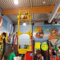
Mega Speelstad
7.7 km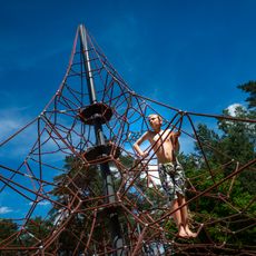
Lilse Bergen
3.9 km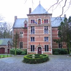
Hof d'Intere
7.7 km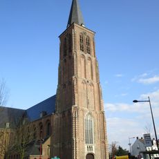
Sint-Willibrorduskerk
7.5 km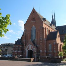
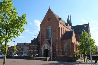
Sint-Lambertuskerk
47 m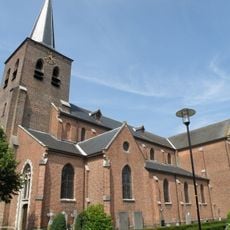
Onze-Lieve-Vrouwkerk
2.2 km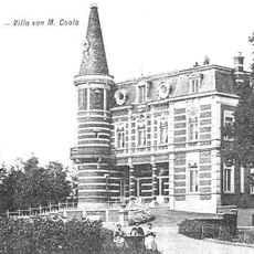
Hof ter Looi
6.7 km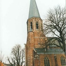
Onze-Lieve-Vrouwekerk
5.8 km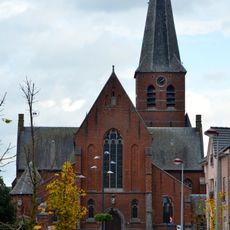
Sint-Jozefkerk
5.3 km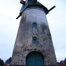
In Stormen Sterk, Gierle
5.6 km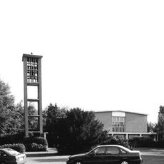
Pinksterkerk
4.6 km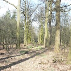
Luysterborg
1.7 km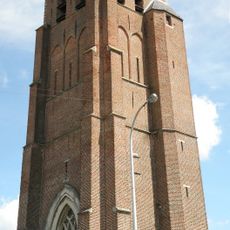
Sint-Laurentiuskerk
8.8 km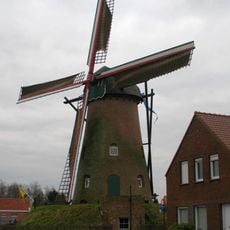
Stenen bergmolen, Rijkevorsel
7.3 km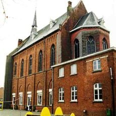
Ursulinenklooster
5.9 km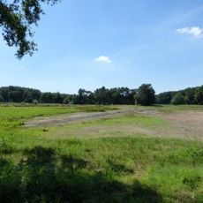
Visbeekvallei
4.9 km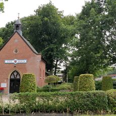
Onze-Lieve-Vrouw-van-Bijstandkapel
8.5 km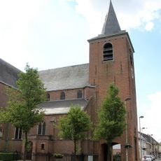
Sint-Quiriniuskerk
5.9 km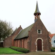
Sint-Corneliuskapel
1.4 km
Mariapark
2.2 km
Lokerenkapel
5.1 km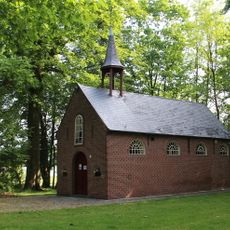
Onze-Lieve-Vrouw Bezoekingkapel
5.1 km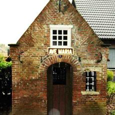
Sint-Annakapel
8 km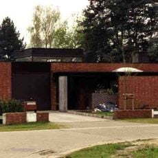
Woning Sap
3.2 km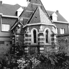
Neogotische kapel
286 m
Sint-Jozef-Arbeiderkerk
2.5 km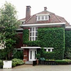
Eclectische villa
785 m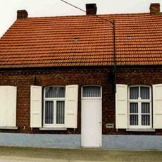
Dorpswoning aan Broekzijstraat 121
8.8 kmVisited this place? Tap the stars to rate it and share your experience / photos with the community! Try now! You can cancel it anytime.
Discover hidden gems everywhere you go!
From secret cafés to breathtaking viewpoints, skip the crowded tourist spots and find places that match your style. Our app makes it easy with voice search, smart filtering, route optimization, and insider tips from travelers worldwide. Download now for the complete mobile experience.

A unique approach to discovering new places❞
— Le Figaro
All the places worth exploring❞
— France Info
A tailor-made excursion in just a few clicks❞
— 20 Minutes