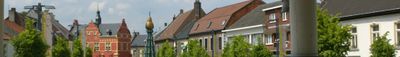
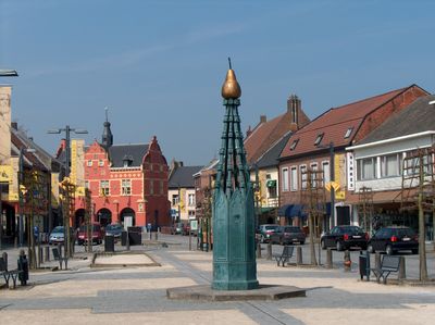
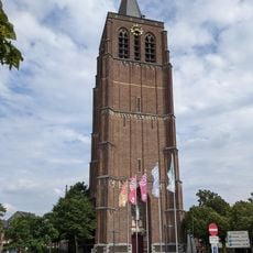
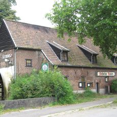
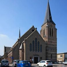
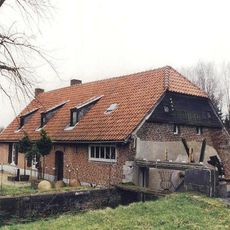
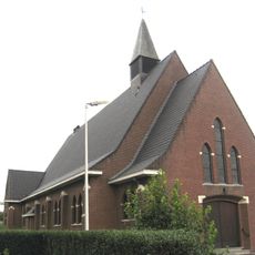
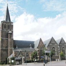
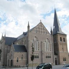
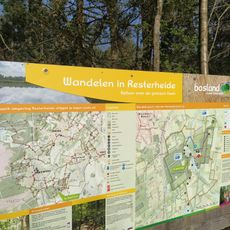
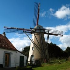
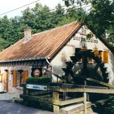
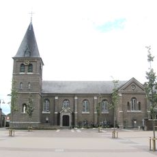
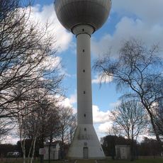
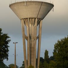
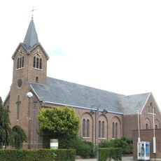
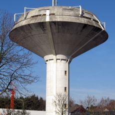
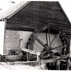
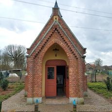
Peer, city in Limburg, Belgium
Location: Arrondissement of Maaseik
Capital city: Peer
Elevation above the sea: 64 m
Part of: Emergency rescue zone North Limburg, Politiezone Kempenland
Shares border with: Bocholt, Meeuwen-Gruitrode, Oudsbergen
Phone: +3211610700
Email: info@peer.be
Website: https://peer.be
GPS coordinates: 51.13280,5.45360
Latest update: May 27, 2025 17:31
Erperheide
3.7 km
Sint-Trudokerk
184 m
Wedelse Molen, Overpelt
5.5 km
Archaeological park de Rieten
7.8 km
Klooster Gerkenberg
8.8 km
Hoogmolen
4.7 km
Voormalig stadhuis van Peer
31 m
Sint-Lambertuskerk
6.2 km
Kleine Molen
4.6 km
Sint-Hubertuskerk
3.1 km
Sint-Martinuskerk
6.2 km
Sint-Monulphus en Gondulphuskerk
7.6 km
Resterheide
5.5 km
Sevensmolen
7.4 km
Dorpermolen
5.2 km
Tank memorial
6.3 km
Sint-Harlindus en Relinduskerk
4.9 km
Sint-Willibrorduskerk
7.9 km
Reppelmolen
7.7 km
Sint-Trudokerk
2.8 km
Watertoren
5.8 km
Peerder Watermolen
1.7 km
Watertoren
824 m
Onze-Lieve-Vrouw-Onbevlekt-Ontvangenkerk
4 km
Water tower
8.9 km
Berenheidemolen
4.2 km
Onze-Lieve-Vrouw-van-Lourdeskapel
4.1 km
Uitkijktoren Begijnenvijvers
5.1 kmReviews
Visited this place? Tap the stars to rate it and share your experience / photos with the community! Try now! You can cancel it anytime.
Discover hidden gems everywhere you go!
From secret cafés to breathtaking viewpoints, skip the crowded tourist spots and find places that match your style. Our app makes it easy with voice search, smart filtering, route optimization, and insider tips from travelers worldwide. Download now for the complete mobile experience.
A unique approach to discovering new places❞
— Le Figaro
All the places worth exploring❞
— France Info
A tailor-made excursion in just a few clicks❞
— 20 Minutes