
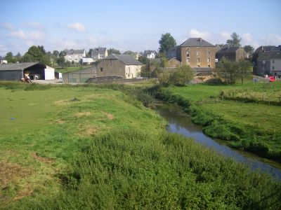
Étalle, municipality in Wallonia, Belgium
Location: Arrondissement of Virton
Capital city: Étalle
Part of: Gaume Police Zone, Emergency zone Luxembourg
Shares border with: Arlon, Habay, Tintigny, Virton, Saint-Léger
Website: https://etalle.be
GPS coordinates: 49.67389,5.60194
Latest update: May 27, 2025 17:40
St Martin's Church, Arlon
15 km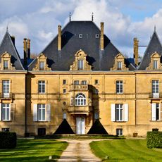
Château de Laclaireau
9.5 km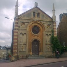
Synagogue of Arlon
15.6 km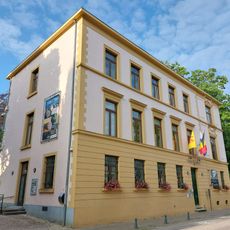
Gaspar Museum
15.1 km
Château de la Trapperie
6.5 km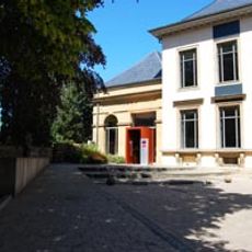
Archaeological Museum of Arlon
15.1 km
Gaume Natural Park
9.6 km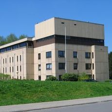
State Archives in Arlon
14.4 km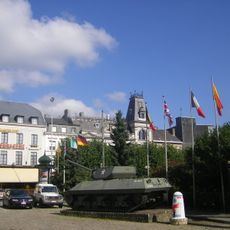
Tank memorial
15.3 km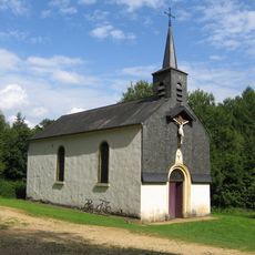
Hermitage of Wachet
8.5 km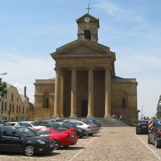
Église Saint-Laurent de Virton
12.9 km
Jupiter tower
15.5 km
Mageroy
5.9 km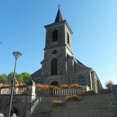
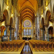
Église Notre-Dame de l'Assomption
6.4 km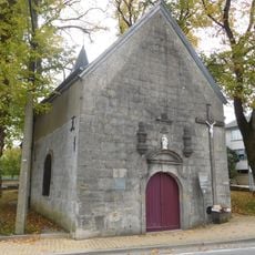
Holy Cross chapel in Arlon
15.1 km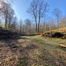
La Tranchée des Portes
4.6 km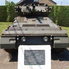
Tank memorial
13.2 km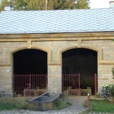
Ancien lavoir public de Heinsch
10.8 km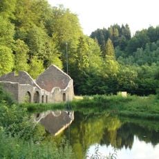
Old forges of Montauban
4.7 km
Latour
13.9 km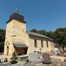
Église Saint-Denis de Ville-Houdlémont
15.9 km
Bench
15.9 km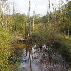
Marshes known as Landbrough
8 km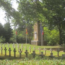
Bellefontaine Franco-German military cemetery
6.4 km
Centre d'Art Contemporain du Luxembourg Belge
4.7 km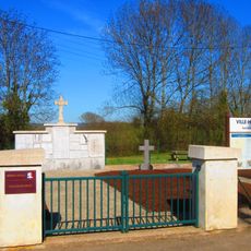
Nécropole nationale de Ville-Houdlemont
14.9 km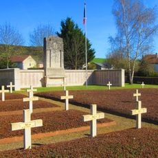
Nécropole nationale de Gorcy
15.5 km
Jeu de l'oie
12.8 kmReviews
Visited this place? Tap the stars to rate it and share your experience / photos with the community! Try now! You can cancel it anytime.
Discover hidden gems everywhere you go!
From secret cafés to breathtaking viewpoints, skip the crowded tourist spots and find places that match your style. Our app makes it easy with voice search, smart filtering, route optimization, and insider tips from travelers worldwide. Download now for the complete mobile experience.

A unique approach to discovering new places❞
— Le Figaro
All the places worth exploring❞
— France Info
A tailor-made excursion in just a few clicks❞
— 20 Minutes