
Dottignies, section of Mouscron, Wallonia, Belgium
Location: Mouscron
Elevation above the sea: 30 m
GPS coordinates: 50.72720,3.30310
Latest update: May 27, 2025 17:34
Brouwerij Omer Vander Ghinste
5.8 km
Mortagnekasteel
6 km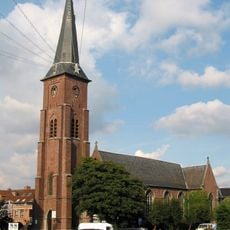
Église Saint-Barthélémy de Mouscron
6.5 km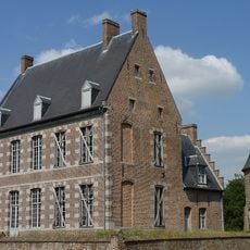
Château des Comtes
6.1 km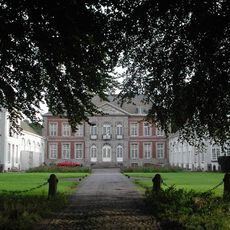
Spiere Castle
3.5 km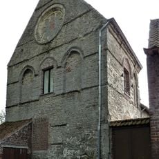
Commanderie de Saint-Léger
2.5 km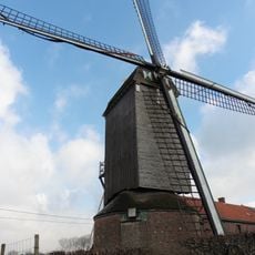
Hoogmolen
7.2 km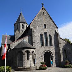
Sint-Antonius Abtkerk
5.4 km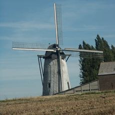
Ter Claere
6.2 km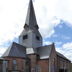
Sint-Amanduskerk
5.8 km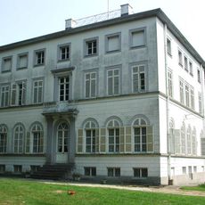
Kasteel van Helkijn
4.8 km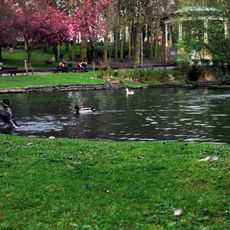
Parc public
7 km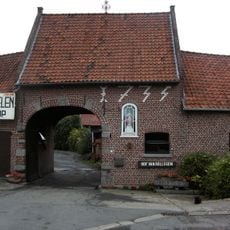
Hof van Rollegem
5.4 km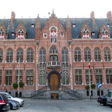
Town hall of Mouscron
6.5 km
Maison Picarde
6.7 km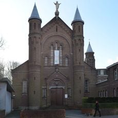
Église du Sacré-Cœur de Mouscron
5.8 km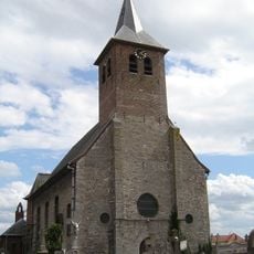
Sint-Jan-de-Doperkerk
5.7 km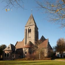
Sint-Dionysius en Sint-Genesiuskerk
5.4 km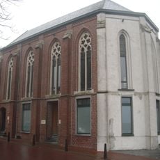
Neogotische kapel
5.8 km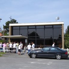
Église Notre-Dame-de-la-Paix
6.6 km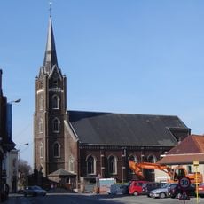
Église Saint-Amand de Luingne
5 km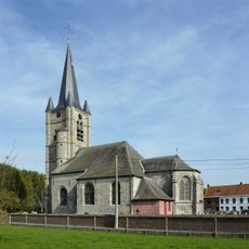
Église Saint-Léger
2.5 km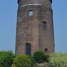
Moulin de Tombrouck
3.7 km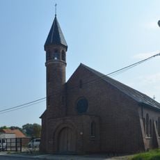
Sint-Eligiuskapel
3.7 km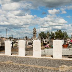
Herinnes Communal Cemetery
5.1 km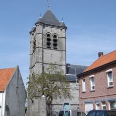
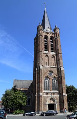
Église Saint-Vaast
1.9 km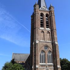
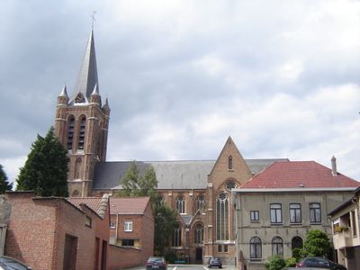
Église Saint-Léger
292 m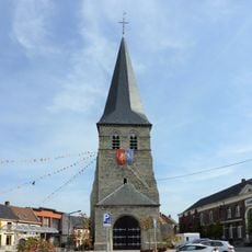
Tour de l'ancienne église de Dottignies
191 mVisited this place? Tap the stars to rate it and share your experience / photos with the community! Try now! You can cancel it anytime.
Discover hidden gems everywhere you go!
From secret cafés to breathtaking viewpoints, skip the crowded tourist spots and find places that match your style. Our app makes it easy with voice search, smart filtering, route optimization, and insider tips from travelers worldwide. Download now for the complete mobile experience.

A unique approach to discovering new places❞
— Le Figaro
All the places worth exploring❞
— France Info
A tailor-made excursion in just a few clicks❞
— 20 Minutes