
Hoeve Herkenrode, farmhouse in Heers, Belgium
Location: Heers
Address: Opheersstraat 81
GPS coordinates: 50.73690,5.29531
Latest update: May 27, 2025 18:16
Hex Castle
5.8 km
Heers Castle
2.2 km
Kasteel van Veulen
3 km
Château de la Motte
5.5 km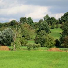
Overbroek-Egoven
3.3 km
Tumulus de la Plate Tombe
6 km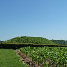
Tumulus of Gutschoven
4.5 km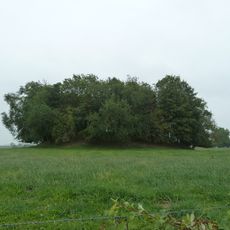
Tumulus of Oleye
2.5 km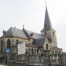
Onze-Lieve-Vrouw-Tenhemelopnemingskerk
3 km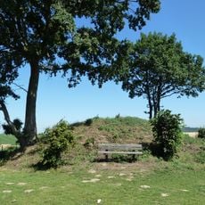
Tumulus of Vechmaal
4.6 km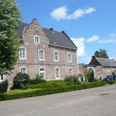
Château de Schabroek
3.8 km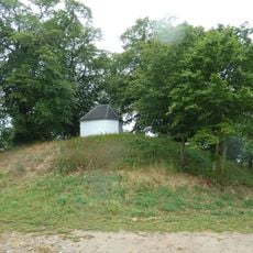
Tumulus of Otrange
5.1 km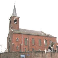
Onze-Lieve-Vrouw-ten-Hemelopnemingskerk
5.7 km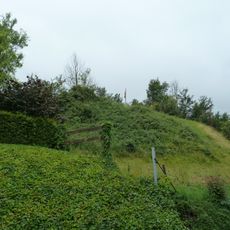
Tumulus of Lamine
6 km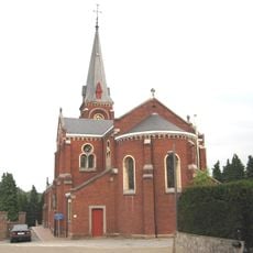
Sint-Martinuskerk
5.5 km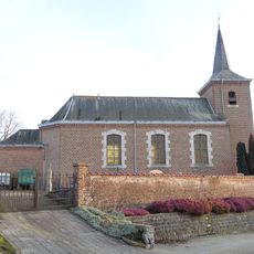
Sint-Stefanuskerk
990 m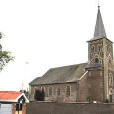
Sint-Lambertuskerk
3.6 km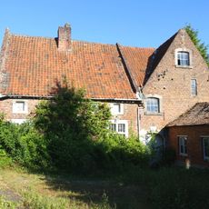
Watermolen van Heks
5.6 km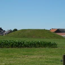
Motheuvel
3.6 km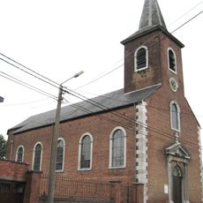
Sint-Lambertuskerk
98 m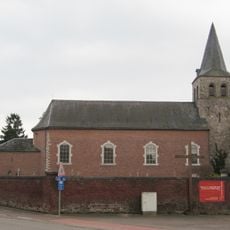
Drie-Morenkerk
4.1 km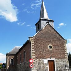
Sint-Lambertuskerk
5.7 km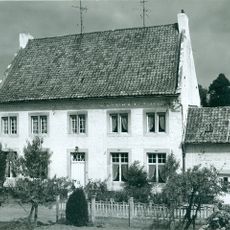
Zwart Huis
4.5 km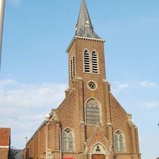
Sint-Saturninuskerk
6 km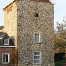
Donjon van Batsheers
1 km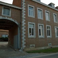
Daalstraat 31
3.9 km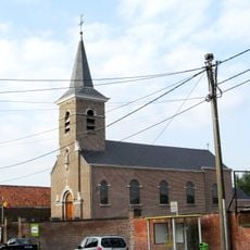
Sint-Pieterskerk
4.5 km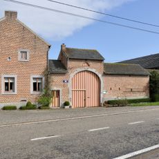
Hoeve Moïes
514 mReviews
Visited this place? Tap the stars to rate it and share your experience / photos with the community! Try now! You can cancel it anytime.
Discover hidden gems everywhere you go!
From secret cafés to breathtaking viewpoints, skip the crowded tourist spots and find places that match your style. Our app makes it easy with voice search, smart filtering, route optimization, and insider tips from travelers worldwide. Download now for the complete mobile experience.

A unique approach to discovering new places❞
— Le Figaro
All the places worth exploring❞
— France Info
A tailor-made excursion in just a few clicks❞
— 20 Minutes