
Schilde, section of Schilde, Belgium
Location: Schilde
Part of: Schilde
GPS coordinates: 51.23333,4.56667
Latest update: May 10, 2025 13:44

Vrieselhof
3.2 km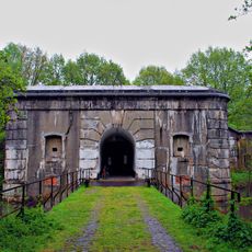
Fort van Oelegem
3.4 km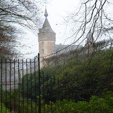
Castle of 's Gravenwezel
3.1 km
Schans van Schilde
2.6 km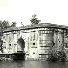
Fort van 's Gravenwezel
3.6 km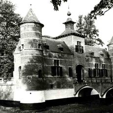
Kasteel Pulhof
2.2 km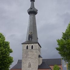
Onze-Lieve-Vrouwekerk
3.3 km
Kasteel Kijckuit
3.2 km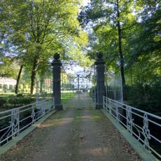
Kasteeldomein Hof ter Linden
1.9 km
Lock at Wijnegem
2.2 km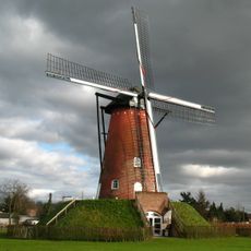
Molen van Oelegem
3.2 km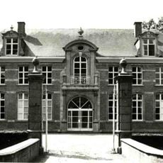
Bleyckhof
2.3 km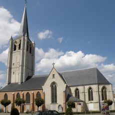
Sint-Pieters- en Pauluskerk
4.4 km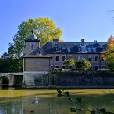
Kasteel Zevenbergen
4.3 km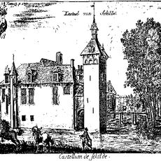
Schildehof
1.1 km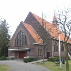
Onze-Lieve-Vrouw Koningin van Alle Heiligenkerk
4.2 km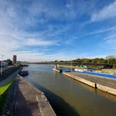
Bridge near Turnhoutsebaan Wijnegem
2.4 km
Kasteel Selsaete
4.5 km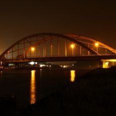
Bridge at Wijnegem
3.5 km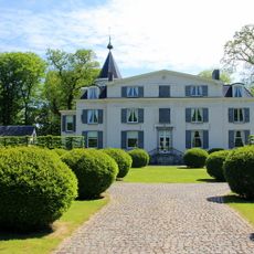
Château Kattenhof
3.6 km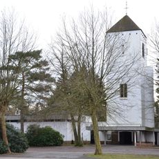
Onze-Lieve-Vrouw-ten-Hemelopnemingskerk
797 m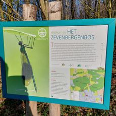
Het Bos van Ranst
3.8 km
's-Gravenhof
3.9 km
Kasteel Spreeuwenborg
1.8 km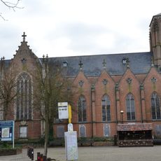
Sint-Guibertuskerk
1.2 km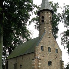
Sint-Janskapel
3.8 km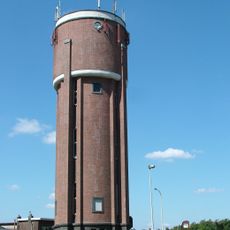
Water tower Wijnegem
2.6 km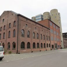
Jenever distillery Meeus
1.9 kmReviews
Visited this place? Tap the stars to rate it and share your experience / photos with the community! Try now! You can cancel it anytime.
Discover hidden gems everywhere you go!
From secret cafés to breathtaking viewpoints, skip the crowded tourist spots and find places that match your style. Our app makes it easy with voice search, smart filtering, route optimization, and insider tips from travelers worldwide. Download now for the complete mobile experience.

A unique approach to discovering new places❞
— Le Figaro
All the places worth exploring❞
— France Info
A tailor-made excursion in just a few clicks❞
— 20 Minutes