
Aalter, section of Aalter, Belgium
Location: Aalter
Part of: Aalter
GPS coordinates: 51.08333,3.45000
Latest update: April 18, 2025 03:34

Poeke Castle
4.7 km
Mariahove Castle
3.1 km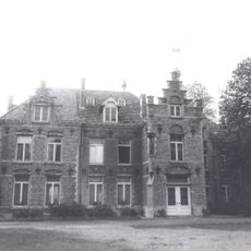
Kasteel Nobelstede
2.3 km
Fort Sint-Filips
4.1 km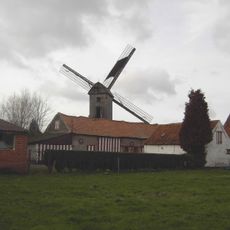
Pietendriesmolen, Knesselare
3.9 km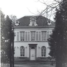
Kasteel Ter Wallen
4.3 km
Sint-Corneliuskerk
125 m
Heilig-Kruiskerk
3.8 km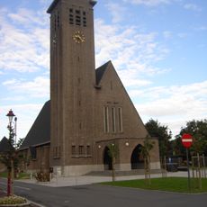
Sint-Godelievekerk
3.1 km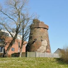
Teerlingmolen
459 m
Onze-Lieve-Vrouw-Geboortekerk
2.9 km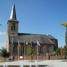
Sint-Lambertuskerk
4.7 km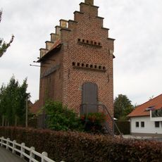
Duiventoren Bellem
2.9 km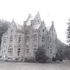
Kasteel van Hoogveld
4.5 km
Pensionaat van Lo
3.8 km
Villa Cranenpoel
2.5 km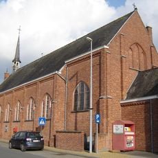
Heilige Kruisverheffingskerk
4.7 km
Waterkot
3.8 km
Onze-Lieve-Vrouw-van-Lourdeskapel
4.9 km
Wantebeekkapel
4.9 km
Estate in Pittem
3.5 km
Kapel Nood-zoekt-troost
3 km
Kapel van Onze-Lieve-Vrouw van Zeven Weeën
2.9 km
Kapel van het Pauwelsbos
4.7 km
Woestijnegoed
3.3 km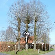
Vijfringenkruis
2.5 km
Kapel Van De Moortele
4.6 km
Vrekkemkapel
5.2 kmVisited this place? Tap the stars to rate it and share your experience / photos with the community! Try now! You can cancel it anytime.
Discover hidden gems everywhere you go!
From secret cafés to breathtaking viewpoints, skip the crowded tourist spots and find places that match your style. Our app makes it easy with voice search, smart filtering, route optimization, and insider tips from travelers worldwide. Download now for the complete mobile experience.

A unique approach to discovering new places❞
— Le Figaro
All the places worth exploring❞
— France Info
A tailor-made excursion in just a few clicks❞
— 20 Minutes