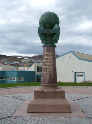
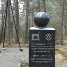
Struve Geodetic Arc, Triangulation network in Northern Europe.
The Struve Geodetic Arc is a chain of surveying points that stretches from Hammerfest in Norway to the Black Sea, spanning a total of 2,821 kilometers (1,754 miles). The 265 measurement points are marked with geodetic monuments containing precise coordinate data and are distributed across several present-day countries.
Between 1816 and 1855, astronomer Friedrich Georg Wilhelm von Struve established this measurement chain to determine the exact size and shape of Earth. The project emerged when precise measurement of the Earth's surface had become crucial for navigation and mapping.
The network emerged from scientific collaboration between multiple European nations in the 19th century, marking a turning point in international cooperation on large-scale surveying projects. The preserved measurement points tell of an era when surveying was hands-on work and countries undertook this task together.
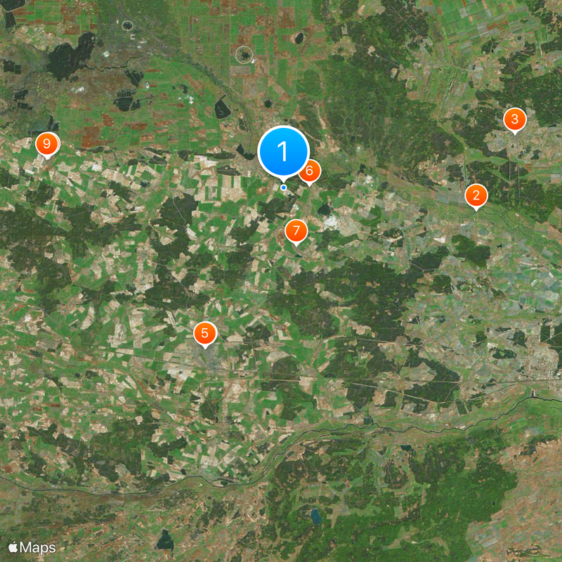
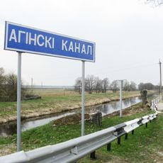
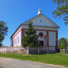
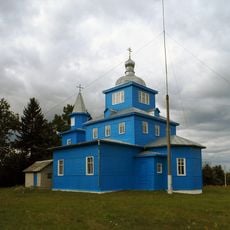
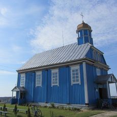
The measurement points are spread across multiple countries and can be explored independently, with some located in remote areas. Plan for varying access conditions depending on the region and inquire locally about the exact location of each monument.
The measurements revealed that Earth flattens at the poles, fundamentally changing how scientists understood the planet's shape. This finding was revolutionary for the science of the time and confirmed theoretical predictions.
Location: Jyväskylä
Location: Tornio
Location: Lapinjärvi
Location: Enontekiö
Location: Ylitornio
Location: Pyhtää
Part of: World Heritage Site
GPS coordinates: 52.28944,25.64944
Latest update: December 14, 2025 20:41
Oginski Canal
19.3 km
Saints Peter and Paul churches in Lahišyn
23.6 km
Church of the Exaltation of the Cross in Ivanava
17.6 km
Orthodox church of the Pokrov in Ivanava
17.6 km
Skirmunt Manor in Moladava
2.6 km
Holy Trinity Orthodox church in Dastojeva
5.8 km
Holy Trinity Orthodox church in Biezdziež
23.5 km
Касцёл Найсвяцейшай Тройцы, Бездзеж
23.6 km
Orthodox church of the Transfiguration of Jesus Christ in Motal
4.1 km
Chapel-burial-vault of Skirmunt family, Moladava
2.8 km
Помнік Напалеону Орду
17.8 km
Saint Paraskeva of Serbia church in Ladavičy
17.2 km
Church of the Nativity of Our Lady in Vavuličy
21.3 km
Church of the Nativity of Our Lady in Parečča
12.1 km
Exaltation of the Holy Cross church in Brodnica, Ivanava District
18.2 km
Church of the Nativity of Our Lady in Liaskavičy
15.3 km
Church of the Exaltation of the Cross in Achova
21.4 km
Сядзіба, Дастоева
7.5 km
Church of the Ascension of Christ in Liachavičy, Ivanava District
12.7 km
Спаса-Узнясенская царква, Моладава
2.9 km
Church of the Dormition of Our Lady in Snitava
22.7 km
Saint Nicholas church in Družylavičy
8.6 km
Holy Trinity church in Łahišyn
23.6 km
Orthodox church of the Nativity of Our Lady in Dubaje
23.2 km
Church of Protection of the Holy Virgin in Biarozavičy
20.9 km
Category:Saint Athanasius of Brest church in Jaječkavičy
23.6 km
Saint Alexander Nevsky church in Streĺna
19.7 km
Čekuck geodetic point
10.5 kmVisited this place? Tap the stars to rate it and share your experience / photos with the community! Try now! You can cancel it anytime.
Discover hidden gems everywhere you go!
From secret cafés to breathtaking viewpoints, skip the crowded tourist spots and find places that match your style. Our app makes it easy with voice search, smart filtering, route optimization, and insider tips from travelers worldwide. Download now for the complete mobile experience.
A unique approach to discovering new places❞
— Le Figaro
All the places worth exploring❞
— France Info
A tailor-made excursion in just a few clicks❞
— 20 Minutes