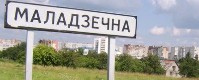
Maladzyechna, Administrative center in Minsk Region, Belarus
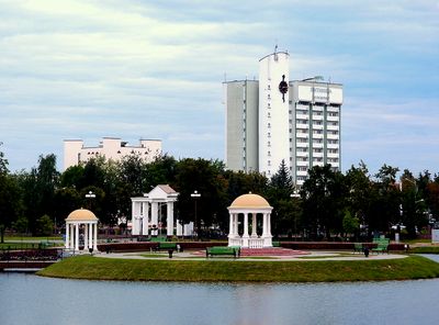
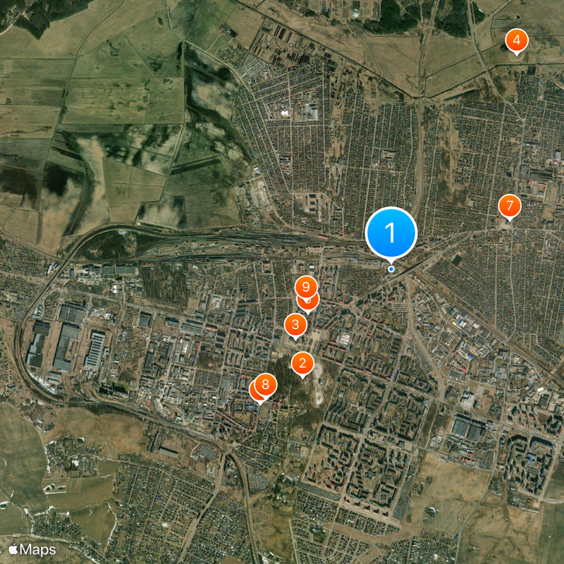
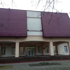
Maladzyechna is a regional center in Minsk Region in northwestern Belarus, about 72 kilometers from Minsk. The town sits along the Usha River at roughly 161 meters elevation and spreads across both banks with residential neighborhoods, parks, and a compact downtown.
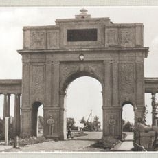
The earliest written record dates to 1388 and refers to a fortified settlement on the right bank of the Usha. Over the centuries, control shifted multiple times, and the town experienced both destruction and rebuilding phases.
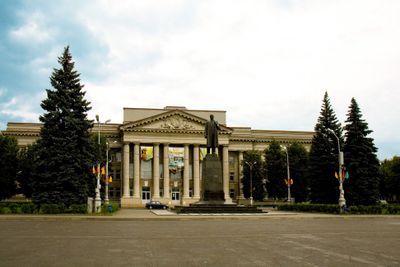
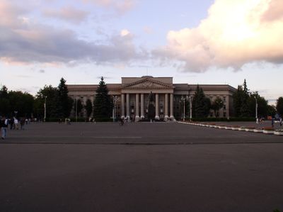
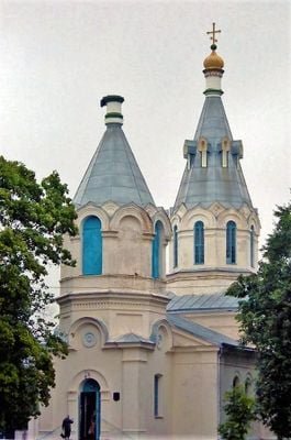
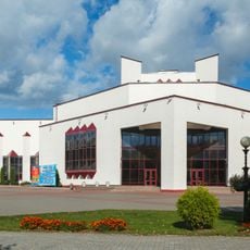
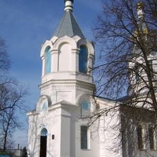
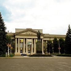
The name derives from an old Slavic word for youthful strength and still shapes how residents see their community. Theaters and museums draw visitors from across the region and form a cultural hub between the capital and western areas.
The town lies on the railway line between Minsk and Vilnius and connects well to the regional road network. In the center, shops, services, and lodgings are available for travelers making a stopover or exploring the surrounding area.
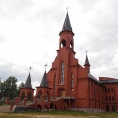
In the former Jewish quarter, houses from the prewar period still stand, including a former synagogue building now used for other purposes. These structures recall a time when Jewish families made up a large part of the population.
Location: Maladziečna District
Elevation above the sea: 159 m
Website: https://molodechno.gov.by
GPS coordinates: 54.31361,26.85167
Latest update: December 13, 2025 19:59
Park Pieramohi, Maladziečna
1.5 km
Maladzechna Palace of Culture
1.3 km
Молодечненский замок
2.7 km
Minsk Regional Homeland Museum
1 km
Triumphal arch in Maladziečna
2 km
Orthodox church of the Pokrov in Maladziečna
1.4 km
Мінскі абласны драматычны тэатр
2 km
St. Josef Church, Maladziečna
997 m
Kościół św. Ojca Pio w Mołodecznie
1.6 km
Маладзечанскі дзяржаўны політэхнічны каледж
1 kmВястун, Маладзечна
1.3 kmБылы польскі дом афіцэраў аховы памежжа (1925 г.)
965 mСтарыя вайсковыя ўмацаванні (меркавана 1940-я)
1.1 kmСтары ваенны ДАП
2.9 kmСтараства (Польская забудова 1920—38-я гг.)
993 mЖылая і ваенная 1-3-павярховая польская забудова вуліцы (1920-38-я гг.)
2.1 kmТунэль з бутавага каменя (1920-30гг., польскі перыяд)
3 kmЖылая і ваенная 1-2 павярховая польская/міжваенная забудова (1920-38-я гг.)
811 mБылы афіцэрскі клуб/казіно (1920-38-я гг., перароблены)
2 kmСтарая местачковая забудова (канец XIX-пачатак XX стст., большая частка вуліцы)
1.2 kmБылы будынак турмы (канец XIX-пачатак XX стст.)
906 mРэшткі старога каменнага мура (меркавана XIX ст.)
1.3 kmРэшткі старой местачковай забудовы (XIX-пачатак XX стст.)
1.5 kmХарактэрная прамысловая архітэктура (1940-80-я гг., некалькі вуліц)
3.2 kmБылы ўлікова-планавы тэхнікум (1960 г.)
1.1 kmСавецкая неакласічная забудова (1947-60-х гг.)
1 kmБудынак польскага перыяду (меркавана 1930г.)
3.8 kmПольскі каналізацыйны люк, былы іпадром і іншая забудова (1920-38-я гг.)
1.9 kmVisited this place? Tap the stars to rate it and share your experience / photos with the community! Try now! You can cancel it anytime.
Discover hidden gems everywhere you go!
From secret cafés to breathtaking viewpoints, skip the crowded tourist spots and find places that match your style. Our app makes it easy with voice search, smart filtering, route optimization, and insider tips from travelers worldwide. Download now for the complete mobile experience.
A unique approach to discovering new places❞
— Le Figaro
All the places worth exploring❞
— France Info
A tailor-made excursion in just a few clicks❞
— 20 Minutes