56th parallel north, circle of latitude
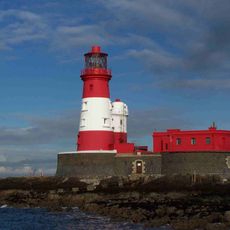
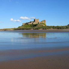
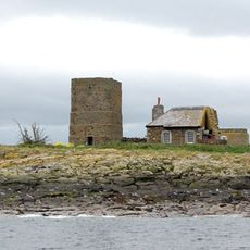
The 56th parallel north is a line that circles the Earth at 56 degrees from the equator, passing through multiple countries and landscapes. It crosses flat plains, forests, coastlines, and islands, connecting diverse regions from Europe through Russia to North America.
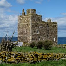
The 56th parallel has been used historically to define borders and geographic regions across multiple countries. Over time, it has served cartographers and travelers as a key reference point for understanding and describing portions of the Earth's surface.
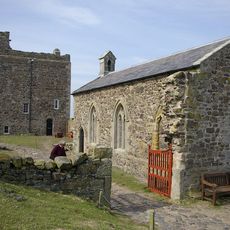
The 56th parallel crosses regions where people share similar experiences with long summer days and short winters, shaping local habits and seasonal celebrations. Communities along this line maintain distinct traditions while facing comparable challenges and rhythms tied to the changing seasons.
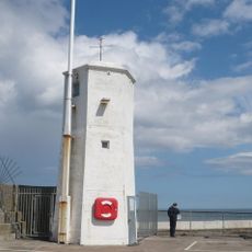
The line is visible on detailed maps and globes but rarely appears as a marked feature on the ground. The best time to visit areas along or near the 56th parallel is late spring through early autumn, when weather is milder and daylight hours are longest.
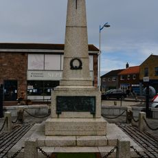
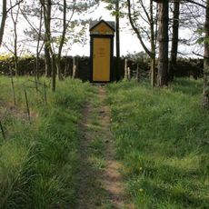
Simple markers or monuments sometimes indicate where the line crosses certain areas, reminding visitors of this invisible geographic reference. These signs show how an imaginary line connects distant places and shapes how people understand their location on Earth.
The community of curious travelers
AroundUs brings together thousands of curated places, local tips, and hidden gems, enriched daily by 60,000 contributors worldwide.