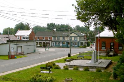
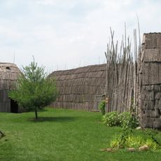
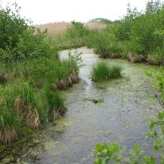
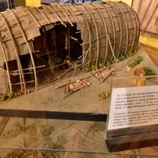
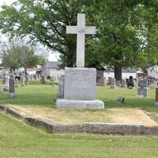
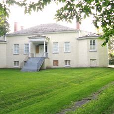
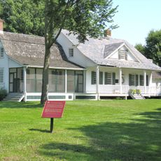
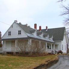
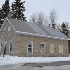
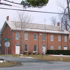
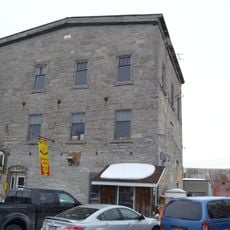
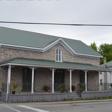
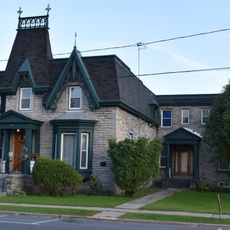
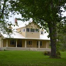
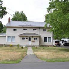
South Glengarry, township in eastern Ontario, Canada
Location: United Counties of Stormont, Dundas and Glengarry
Inception: 1785
Shares border with: North Glengarry, Akwesasne, Rivière-Beaudette, Saint-Télesphore, Saint-Anicet, Dundee, Cornwall
Website: http://southglengarry.com
GPS coordinates: 45.20000,-74.58330
Latest update: March 3, 2025 21:50
St. Finnan's Basilica
12.8 km
Droulers-Tsiionhiakwatha
24.8 km
Lac Saint-François National Wildlife Area
20.3 km
Centre d'interprétation du site archéologique Droulers-Tsiionhiakwhata
24.8 km
Nativity Church
22.6 km
St. Columban's Cemetery
23.2 km
Ruin of St. Raphael's Roman Catholic Church
1.7 km
St. Andrew's United Church and Cemetery
15.3 km
Port Theatre
22.7 km
Cornwall Public Library
23.1 km
Former Nativity School
22.5 km
Glengarry Cairn
11.4 km
Inverarden House
20 km
Bethune-Thompson House
6.3 km
Sir John Johnson House
6.2 km
Kenyon Township Hall
17.7 km
St. Andrews West Convent
20.5 km
Nor-Wester's Museum
5.8 km
Old Mill
12.9 km
Quinn's Store
20.4 km
St. Columban's Rectory
23.1 km
Avondbloem
7.1 km
St. Columban's Church and Calvary Monument
23.1 km
Cornwall Street Railway 17
23.4 km
District Grammar School
22.9 km
Central Public School
23 km
Captain MacDonald House
23 km
The Smart/Fraser House
22.9 kmReviews
Visited this place? Tap the stars to rate it and share your experience / photos with the community! Try now! You can cancel it anytime.
Discover hidden gems everywhere you go!
From secret cafés to breathtaking viewpoints, skip the crowded tourist spots and find places that match your style. Our app makes it easy with voice search, smart filtering, route optimization, and insider tips from travelers worldwide. Download now for the complete mobile experience.
A unique approach to discovering new places❞
— Le Figaro
All the places worth exploring❞
— France Info
A tailor-made excursion in just a few clicks❞
— 20 Minutes