
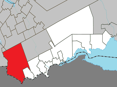
Ruisseau-Ferguson, unorganized area of Quebec, Canada
Location: Avignon
Shares border with:
GPS coordinates: 48.08330,-67.50000
Latest update: March 5, 2025 22:33
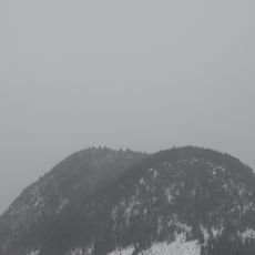
Sugarloaf Mountain
61.5 km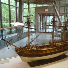
Battle of the Restigouche National Historic Site
57.4 km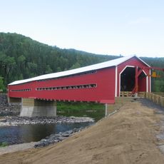
Routhierville Bridge
28.3 km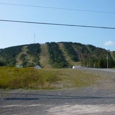
Val-d'Irène Regional Park
43.8 km
Church of St. Benedict Joseph Labre, Amqui
43 km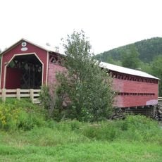
Heppell Bridge
31.9 km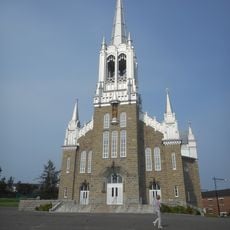
Church of St James Major, Causapscal
36.6 km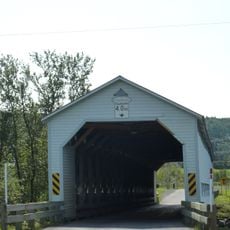
Anses-Saint-Jean Bridge
45.6 km
Matamajaw
36.4 km
Beauséjour Bridge
43.3 km
Saint-Laurent Church
42.5 km
Southeastern Quebec
41.8 km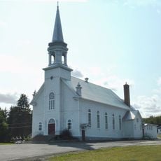
Saint-Zénon Church
25.4 km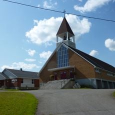
Saint-Cléophas Church
49.2 km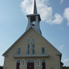
Sainte-Irène Church
39.9 km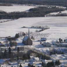
Church of St. Leo the Great, Saint-Léon-le-Grand
33 km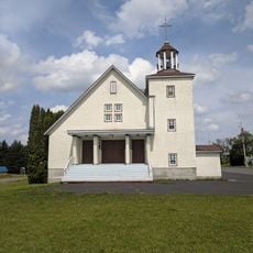
Church of St. Alexander, Saint-Alexandre-des-Lacs
46 km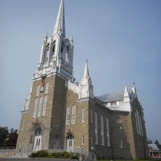
Ensemble institutionnel de Causapscal
36.4 km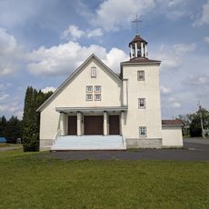
Saint-Alexandre-des-Lacs
46 km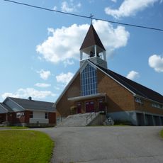
Saint-Cléophas
49 km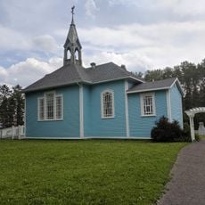
Oratory of St. Joseph
39.4 km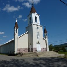
La Rédemption Church
49.2 km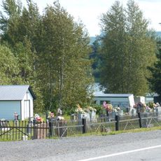
Receiving vault of Saint-Zénon Cemetery
25.4 km
Noyau institutionnel de Saint-Léon-le-Grand
33 km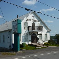
Salle paroissiale de Saint-Zénon-du-Lac-Humqui
25.4 km
Young House
59.6 km
Amqui institutional complex
42.5 km
Former presbytery of Saint-Laurent
42.5 kmReviews
Visited this place? Tap the stars to rate it and share your experience / photos with the community! Try now! You can cancel it anytime.
Discover hidden gems everywhere you go!
From secret cafés to breathtaking viewpoints, skip the crowded tourist spots and find places that match your style. Our app makes it easy with voice search, smart filtering, route optimization, and insider tips from travelers worldwide. Download now for the complete mobile experience.

A unique approach to discovering new places❞
— Le Figaro
All the places worth exploring❞
— France Info
A tailor-made excursion in just a few clicks❞
— 20 Minutes