
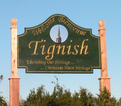
Tignish, municipality in Prince Edward Island
Location: Prince County
Location: Prince Edward Island
Inception: 1799
Elevation above the sea: 15 m
Website: http://tignish.com
GPS coordinates: 46.95050,-64.03360
Latest update: March 20, 2025 05:21
North Cape Light
12.3 km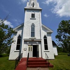
St. Brigid's Church, Prince Edward Island
28.8 km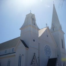
Immaculate Conception Church
5.2 km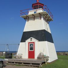
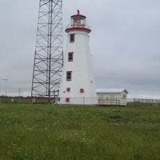
Big Tignish Light
3 km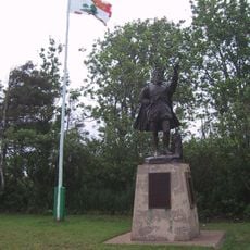
Jacques Cartier Provincial Park
11.2 km
Cascumpeque Light
16.9 km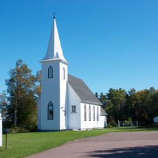
Holy Trinity Anglican Church
11.1 km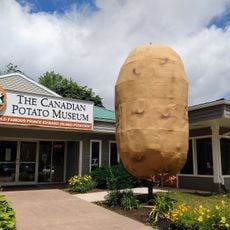
Canadian Potato Museum & Antique Farm Machinery Museum
31.5 km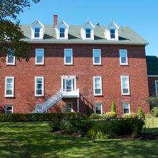
Convent of Notre Dame-des-Anges
450 m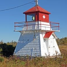
Howards Cove Light
35.1 km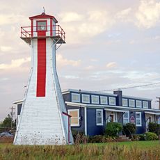
Northport Rear Range Lighthouse
17.6 km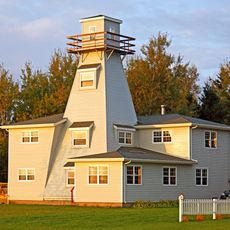
Former Northport Back Range Light
15.9 km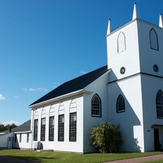
Gordon Memorial United Church
15.8 km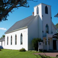
Alberton Museum's Heritage Centre
15.7 km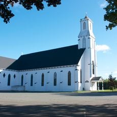
St. Anthony's Roman Catholic Church, Bloomfield
26 km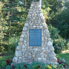
The Gordon Cemetery
11.4 km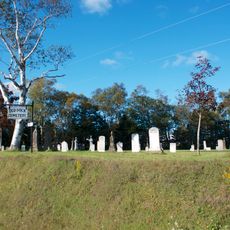
Old Dock Cemetery
16.2 km
St. Anthony's Pioneer Roman Catholic Cemetery
22 km
Zetland Masonic Lodge No. 7
15.6 km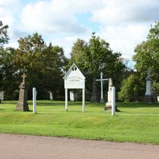
St. Brigid's Old Roman Catholic Cemetery
28.7 km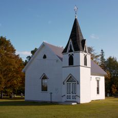
Cascumpec United Church
21.6 km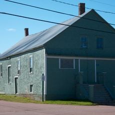
Institute Hall
15.5 km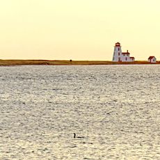
Cascumpeque Light
16.9 km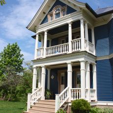
Cold Comfort Farm
17.6 km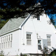
Former Fortune Cove Schoolhouse
23.2 km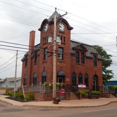
Government of Canada Building, Tignish
150 m
St. Anthony's Parish House
25.9 km
Sacred Heart Parish House
16.3 kmVisited this place? Tap the stars to rate it and share your experience / photos with the community! Try now! You can cancel it anytime.
Discover hidden gems everywhere you go!
From secret cafés to breathtaking viewpoints, skip the crowded tourist spots and find places that match your style. Our app makes it easy with voice search, smart filtering, route optimization, and insider tips from travelers worldwide. Download now for the complete mobile experience.

A unique approach to discovering new places❞
— Le Figaro
All the places worth exploring❞
— France Info
A tailor-made excursion in just a few clicks❞
— 20 Minutes