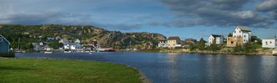
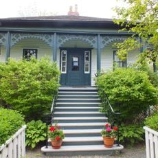
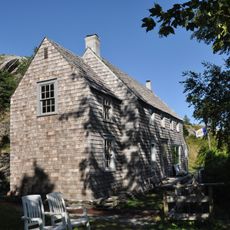
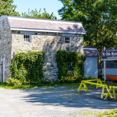
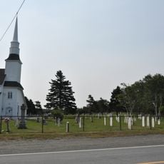
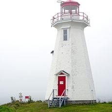
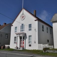
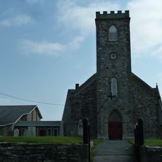
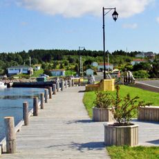
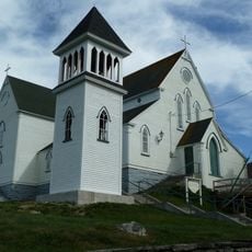
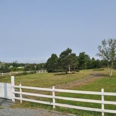
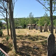
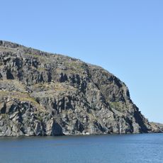
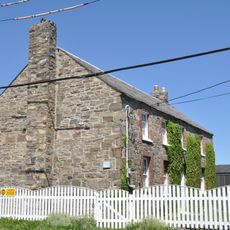
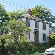
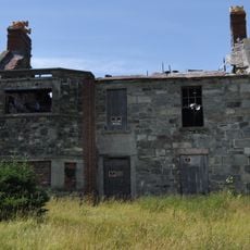
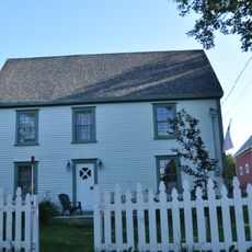
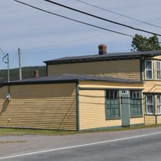
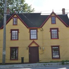
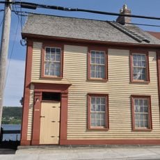
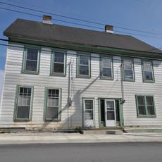
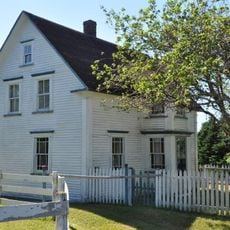
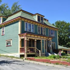
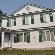
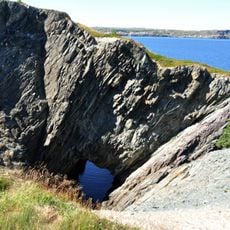
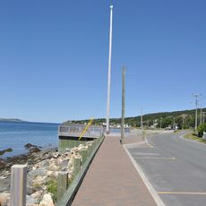
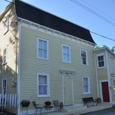
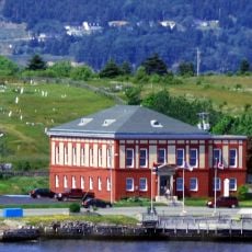
Brigus, fishing community in Conception Bay, Newfoundland and Labrador, Canada
Location: Newfoundland and Labrador
Inception: 1885
Elevation above the sea: 30 m
Website: http://brigus.net
GPS coordinates: 47.53500,-53.20810
Latest update: March 5, 2025 14:31
Hawthorne Cottage
134 m
Kent Cottage
928 m
Brigus Stone Barn
62 m
St. Peter’s Anglican Church and Cemetery
13.2 km
Green Point Lighthouse
8.8 km
Masonic Lodge Harbour Grace No. 476 A.F. and A.M., S.C
17.4 km
St. Paul’s Anglican Church
17.6 km
The Klondike
7.5 km
St. George’s Anglican Church
177 m
Upper Gullies United Church Cemetery
13.6 km
Roman Catholic Parish Cemetery in Harbour Grace
17.5 km
Old Lighthouse Site
2.6 km
Ridley Office
17.4 km
Goodland House
17.4 km
Ridley Hall Ruins
17.6 km
Joseph Bartlett House
238 m
Winter Home
5 km
Victoria Manor
17.5 km
Payne House
17.2 km
West End Mercantile Establishment
17.2 km
Butler Property
2.9 km
Mark Gosse Residence
10 km
Lulah-Oh! / Carroll Property
17.2 km
Burnt Head Arch
3.8 km
John Guy Flag Site
2.1 km
Fowler House
313 m
North Head Lighthouse
2.5 km
Cable Building
7.7 kmVisited this place? Tap the stars to rate it and share your experience / photos with the community! Try now! You can cancel it anytime.
Discover hidden gems everywhere you go!
From secret cafés to breathtaking viewpoints, skip the crowded tourist spots and find places that match your style. Our app makes it easy with voice search, smart filtering, route optimization, and insider tips from travelers worldwide. Download now for the complete mobile experience.
A unique approach to discovering new places❞
— Le Figaro
All the places worth exploring❞
— France Info
A tailor-made excursion in just a few clicks❞
— 20 Minutes