
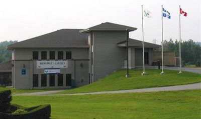
Cantley, rural municipality north of the city of Gatineau in Quebec, Canada
Location: Les Collines-de-l'Outaouais
Inception: January 1, 1989
Website: http://www.cantley.ca
Shares border with: Gatineau, Chelsea, Val-des-Monts
Website: http://cantley.ca
GPS coordinates: 45.56670,-75.78330
Latest update: March 9, 2025 13:58
Harrington Lake
11.5 km
The Farm
10.1 km
Collège Saint-Alexandre
8.6 km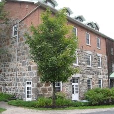
Wakefield Mill
14.1 km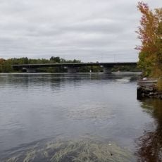
Pont des Draveurs
13.3 km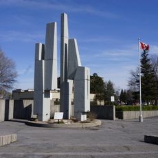
Gatineau Cenotaph
14 km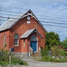
Ancienne église Mountain View
13.8 km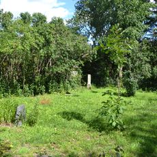
Barber Family Cemetery
9.7 km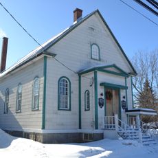
Chelsea United Church
6.6 km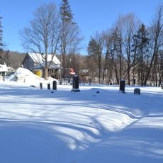
Old Chease Protestant Cemetery
7.4 km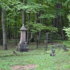
Cimetière des Pionniers de Chelsea
6.4 km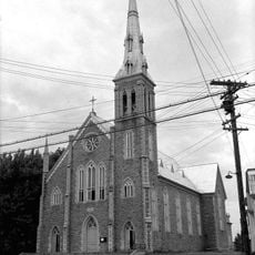
Church of St Francis de Sales, Gatineau
13.8 km
Site du patrimoine Jacques-Cartier
13.3 km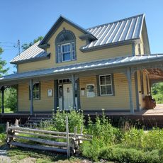
Fairbairn House
13.8 km
Mackenzie King Estate
10.5 km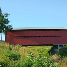
Pont du Ruisseau-Meech
8.9 km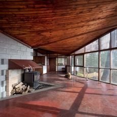
Strutt House
11.7 km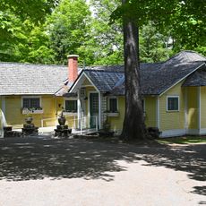
Kingswood, Kingswood Cottage
10.3 km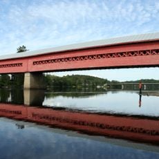
Wakefield Covered Bridge
13.8 km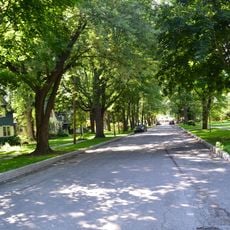
Site patrimonial du Quartier-du-Moulin
14.1 km
Moorside, Garage and Servant's Quarters
10.6 km
Moorside, Forge
10.5 km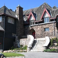
O'Brien House
7.8 km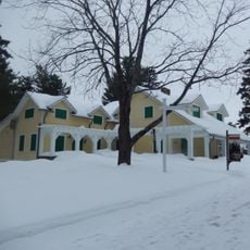
Moorside, Main House
10.5 km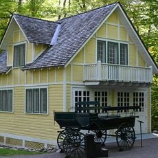
Kingswood, Garage
10.1 km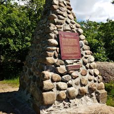
First Geodetic Survey Station
10.6 km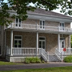
Fairview House
14 km
Kingswood, Guest Cottage
10.1 kmReviews
Visited this place? Tap the stars to rate it and share your experience / photos with the community! Try now! You can cancel it anytime.
Discover hidden gems everywhere you go!
From secret cafés to breathtaking viewpoints, skip the crowded tourist spots and find places that match your style. Our app makes it easy with voice search, smart filtering, route optimization, and insider tips from travelers worldwide. Download now for the complete mobile experience.

A unique approach to discovering new places❞
— Le Figaro
All the places worth exploring❞
— France Info
A tailor-made excursion in just a few clicks❞
— 20 Minutes