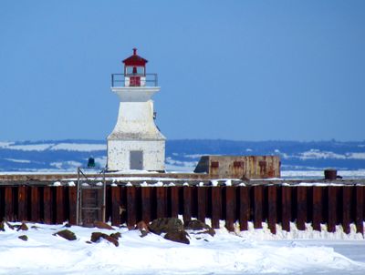
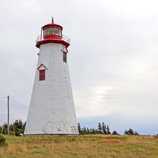
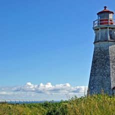
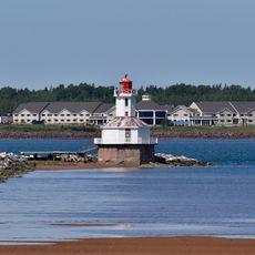
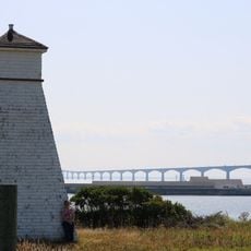
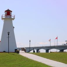
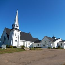
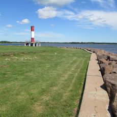
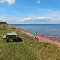
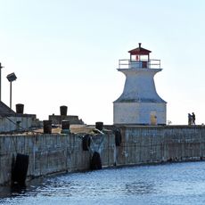
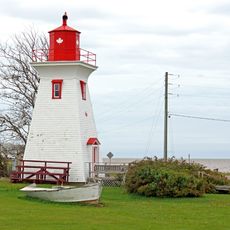
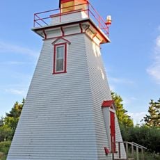
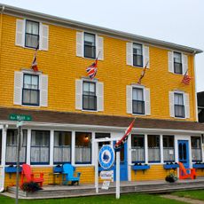
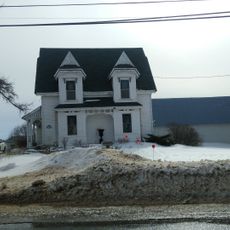
Cape Tormentine, human settlement in New Brunswick, Canada
The community of curious travelers
AroundUs brings together thousands of curated places, local tips, and hidden gems, enriched daily by 60,000 contributors worldwide.
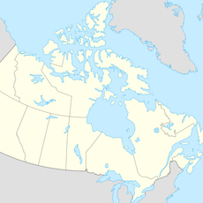
Location
Inception
1901
GPS coordinates
46.11670,-63.78330
Latest update
March 6, 2026 09:34