
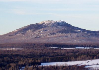
Ham-Sud, municipality in Quebec, Canada
Location: Les Sources
Inception: January 1, 1879
Shares border with: Ham-Nord
Website: http://ham-sud.ca
GPS coordinates: 45.75000,-71.60000
Latest update: March 29, 2025 04:35
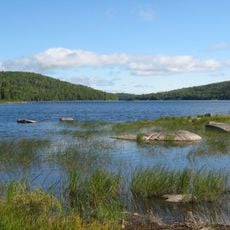
Frontenac National Park
32.5 km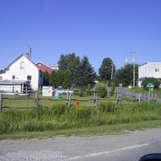
Fontainebleau
18.4 km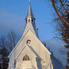
Holy Trinity Anglican Church
37.5 km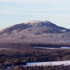
Mont-Ham Regional Park
5.3 km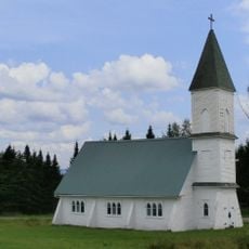
Chapelle Christ Church (Canterbury), Bury
33.6 km
Serpentine-de-Coleraine Ecological Reserve
31.5 km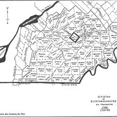
Buckinghamshire
15.6 km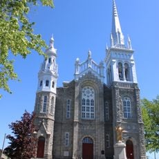
Église Saint-Vital de Lambton
40.8 km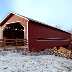
Pont Joseph-Édouard-Perrault
39 km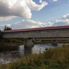
Pont McVetty-McKenzie
21.6 km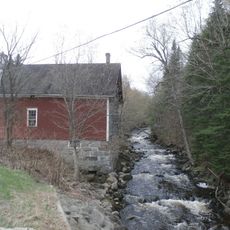
Moulin Legendre
33.5 km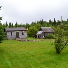
Parc Morrison
39.3 km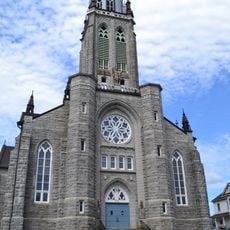
Church of St Louis of France
30 km
Saint-Joseph-de-Ham-Sud Church
712 m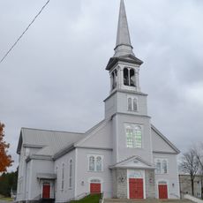
Église Saint-Désiré de Black Lake
37.7 km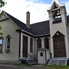
Église Emmanuel United Church
30.4 km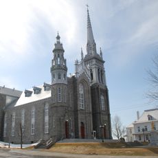
Site de l'église de Saint-Vital
40.8 km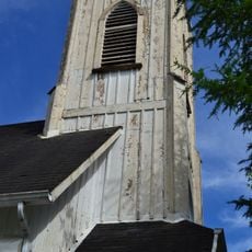
Église Christ Church d’East Angus
29.8 km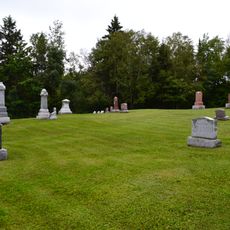
Cimetière Gisla
37.7 km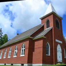
Église Chalmers
24.7 km
Site du patrimoine de Sainte-Marguerite-de-Lingwick
24.8 km
Bureau de poste d’East Angus
29.9 km
Église des Saints-Anges
17.6 km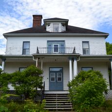
Presbytère de Saint-Louis-de-France
30 km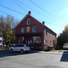
Maison Houston
32.4 km
Maison Laplante
12.7 km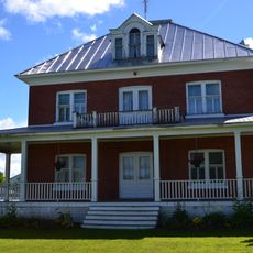
Presbytère de Saint-Georges-de-Windsor
19.9 km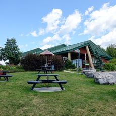
Pavillon Arthabaska
39.7 kmReviews
Visited this place? Tap the stars to rate it and share your experience / photos with the community! Try now! You can cancel it anytime.
Discover hidden gems everywhere you go!
From secret cafés to breathtaking viewpoints, skip the crowded tourist spots and find places that match your style. Our app makes it easy with voice search, smart filtering, route optimization, and insider tips from travelers worldwide. Download now for the complete mobile experience.

A unique approach to discovering new places❞
— Le Figaro
All the places worth exploring❞
— France Info
A tailor-made excursion in just a few clicks❞
— 20 Minutes