
Hatley, municipality in Quebec, Canada
Location: Memphrémagog
Inception: September 27, 1995
Shares border with: Hatley, Coaticook
Website: http://municipalitehatley.com
GPS coordinates: 45.18333,-71.93333
Latest update: March 7, 2025 23:12
Parc de la Gorge-de-Coaticook
11.3 km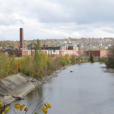
Magog Textile Mill
18.4 km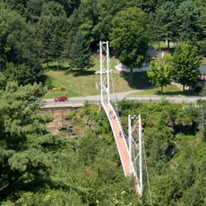
Pont pédestre de Coaticook
11.5 km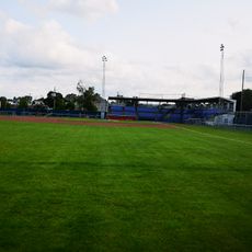
Julien Morin Stadium
11.8 km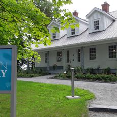
Maison Merry
19.8 km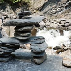
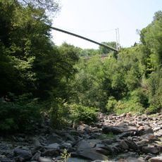
Gorge de Coaticook
10.6 km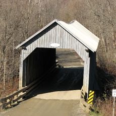
Pont d'Eustis
13.4 km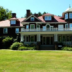
Musée Beaulne
11.5 km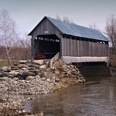
Pont Drouin
11 km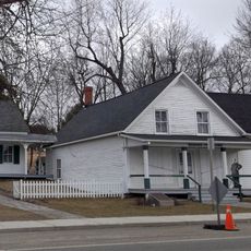
Louis S. St. Laurent National Historic Site
10.7 km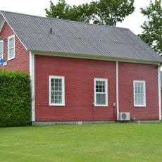
Hôtel de ville de Cassville
13.7 km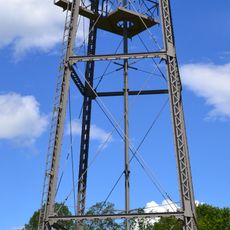
Château d'eau de la rue Dominion
11.2 km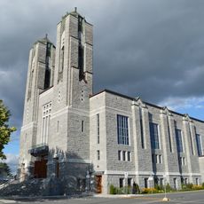
Église Sainte-Marguerite-Marie
18.4 km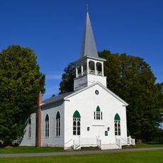
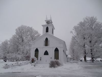
Église Saint-James
397 m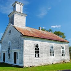
Église baptiste de Barnston
9.5 km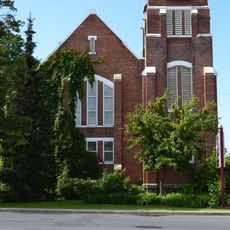
Église Sisco Memorial
11.6 km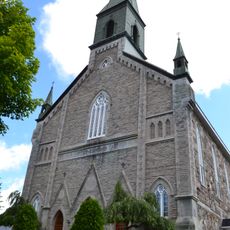
Secteur Saint-Edmond
11.9 km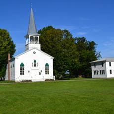
Ensemble institutionnel Saint-James
351 m
Château Arthur-Osmore-Norton
11.4 km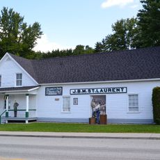
St. Laurent Store and Warehouse
10.6 km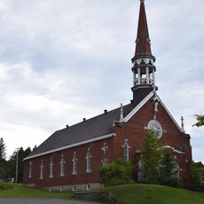
Église de l'Assomption-de-la-Bienheureuse-Vierge-Marie
10.9 km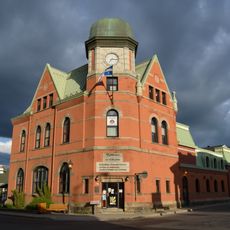
Vieille Poste
11.6 km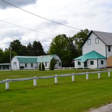
Ayer's Cliff Exposition Grounds
8.5 km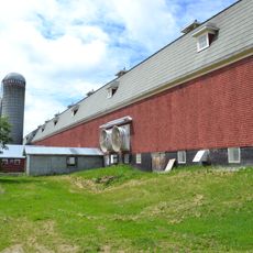
Grange de la Ferme-du-Plateau-de-Coaticook
10.2 km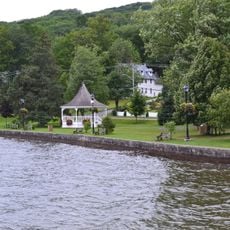
North Hatley Heritage Site
10.7 km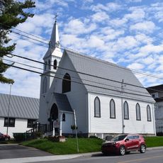
Ensemble institutionnel de Saint-Luke
19.6 km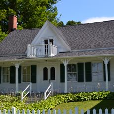
St. Laurent House
10.7 km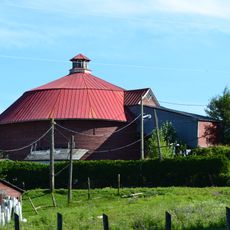
Grange ronde Stanley-Holmes
7.7 kmVisited this place? Tap the stars to rate it and share your experience / photos with the community! Try now! You can cancel it anytime.
Discover hidden gems everywhere you go!
From secret cafés to breathtaking viewpoints, skip the crowded tourist spots and find places that match your style. Our app makes it easy with voice search, smart filtering, route optimization, and insider tips from travelers worldwide. Download now for the complete mobile experience.

A unique approach to discovering new places❞
— Le Figaro
All the places worth exploring❞
— France Info
A tailor-made excursion in just a few clicks❞
— 20 Minutes