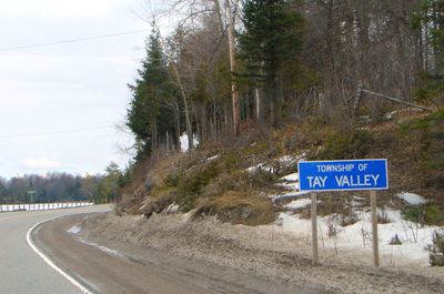
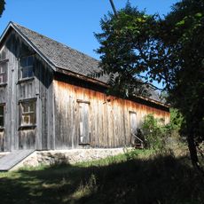
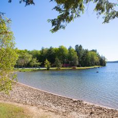
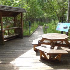
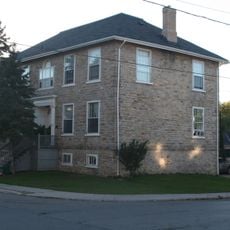
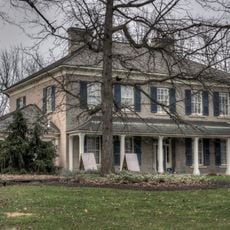
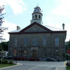
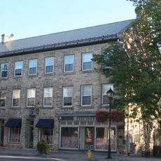
Tay Valley, township municipality in Lanark County, Ontario, Canada
Location: Lanark County
Inception: January 1, 1998
Shares border with: Drummond/North Elmsley, Perth, South Frontenac, Rideau Lakes, Central Frontenac, Lanark Highlands
Website: https://tayvalleytwp.ca
GPS coordinates: 44.87833,-76.39861
Latest update: March 3, 2025 14:01
Murphys Point Provincial Park
19 km
Silver Lake Provincial Park
15.1 km
Purdon Conservation Area
17.3 km
Matheson House
11.9 km
Perkins Motors
11.7 km
St. James the Apostle Anglican Church, rectory and stone wall
12.3 km
Old Fire Hall
12.1 km
Old Perth Library/Perth Public Library/McMillan Building
12.1 km
St. Andrew's Presbyterian Church
12 km
Inge-Va
12.1 km
Code's Mill
11.9 km
Waddell House
12.4 km
John Doran House (St. George's Hotel)
12.2 km
Haggart House
11.8 km
McMartin House
12.2 km
Perth Town Hall
12 km
Doran Block (Riverside Apartments)
12.1 km
2-6 Wilson Street East
11.8 km
43-45 North Street
11.8 km
Roderick Matheson Building (Shaw's of Perth)
11.9 km
John Hart House
12 km
Gemmill House
12 km
Former Perth Public Utilities Commission Building
11.9 km
Roderick Matheson Building (Kellock Block 1)
12 km
Doctor's House
11.7 km
Bandstand
12 km
31 Foster Street
12 km
Soong Building
12 kmReviews
Visited this place? Tap the stars to rate it and share your experience / photos with the community! Try now! You can cancel it anytime.
Discover hidden gems everywhere you go!
From secret cafés to breathtaking viewpoints, skip the crowded tourist spots and find places that match your style. Our app makes it easy with voice search, smart filtering, route optimization, and insider tips from travelers worldwide. Download now for the complete mobile experience.
A unique approach to discovering new places❞
— Le Figaro
All the places worth exploring❞
— France Info
A tailor-made excursion in just a few clicks❞
— 20 Minutes