
Riverdale, rural municipality in Manitoba, Canada
Location: Manitoba
Inception: January 1, 2015
Website: https://riversdaly.ca
GPS coordinates: 49.97500,-100.27900
Latest update: April 2, 2025 16:43
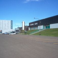
Keystone Centre
27.9 km
Camp Hughes
53.1 km
Commonwealth Air Training Plan Museum
25.4 km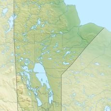
Riding Mountain Biosphere Reserve
53.3 km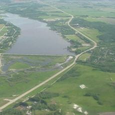
Minnedosa Lake
45.8 km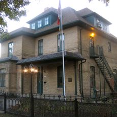
Daly House Museum
26.8 km
Art Gallery of Southwestern Manitoba
27.7 km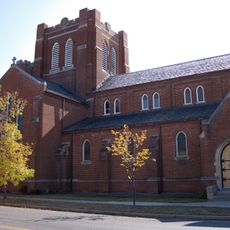
St. Matthew's Anglican Cathedral
27.5 km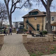
Daly House Museum
26.8 km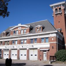
Brandon Central Fire Station
27.7 km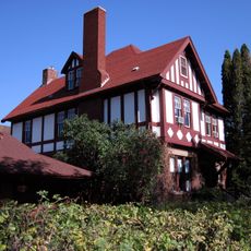
Maley House
27.5 km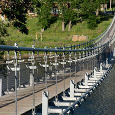
Souris Swinging Bridge
39.9 km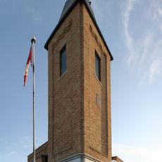
Virden Municipal Building and Auditorium
48.8 km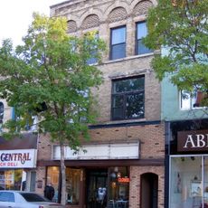
Burchill and Howey Block
27.4 km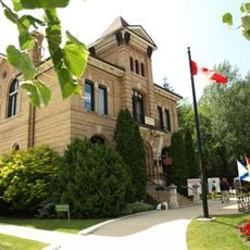
Neepawa Courthouse
64.6 km
Wawanesa Mutual Insurance Company Building
60.3 km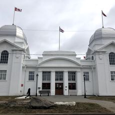
Dominion Exhibition Display Building II
28 km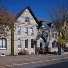
Lorne Terrace
27.4 km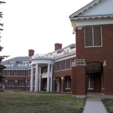
Brandon Mental Health Centre Nurses' Residence
27.3 km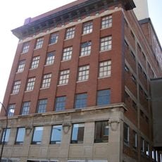
A.E. McKenzie Company Building
27.4 km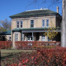
Villa Louise, Dr. Alexander Fleming House
27.9 km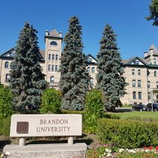
Brandon College and Clark Hall Buildings
26.9 km
Brandon Citizen's Science Building
26.9 km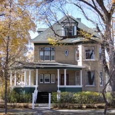
Johnson House
27.9 km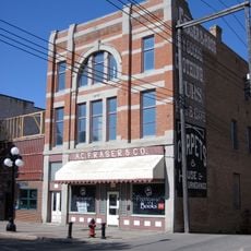
Fraser Block
27.3 km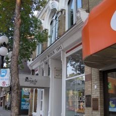
LaPlont Block
27.2 km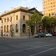
Merchants Bank Building
27.3 km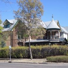
Paterson/Matheson House
27.6 kmReviews
Visited this place? Tap the stars to rate it and share your experience / photos with the community! Try now! You can cancel it anytime.
Discover hidden gems everywhere you go!
From secret cafés to breathtaking viewpoints, skip the crowded tourist spots and find places that match your style. Our app makes it easy with voice search, smart filtering, route optimization, and insider tips from travelers worldwide. Download now for the complete mobile experience.

A unique approach to discovering new places❞
— Le Figaro
All the places worth exploring❞
— France Info
A tailor-made excursion in just a few clicks❞
— 20 Minutes