Bad Cache Rapids, rapids in Manitoba, Canada
Location: Manitoba
Elevation above the sea: 71 m
GPS coordinates: 57.91614,-95.10416
Latest update: November 3, 2025 09:06
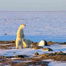
Wapusk National Park
103.9 km
CFS Churchill
107 km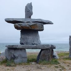
Itsanitaq Museum
109.7 km
Numaykoos Lake Provincial Park
51.2 km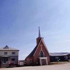
Cathedral of the Holy Canadian Martyrs and Queen of Martyrs
109.7 km
Portage Chute
17.3 km
The Fours
66.6 km
Fortin Rapids
80.6 km
Teepee Falls
74.1 km
Scott Rapids
79.4 km
Ross Rapids
75.3 km
Kennedy Rapids
90.5 km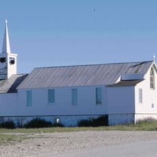
St. Paul’s Anglican Church
109.7 km
Limestone Rapids
53.4 km
MacLeod Rapids
79.2 km
Stevenson Rapids
102 km
Young Rapids
75.2 km
Sea Horse Gully Remains
106.6 km
Wood Rapids
78.9 km
Red Head Rapids
43.4 km
Mountain Rapids
76.5 km
Swallow Rapids
43.3 km
Kilnabad Rapids
6.2 km
Lewis Rapids
71.4 km
Running Landing Place Rapids
47 km
Churchill A
109.8 km
Churchill A
109.8 km
Churchill Public Library
109.7 kmReviews
Visited this place? Tap the stars to rate it and share your experience / photos with the community! Try now! You can cancel it anytime.
Discover hidden gems everywhere you go!
From secret cafés to breathtaking viewpoints, skip the crowded tourist spots and find places that match your style. Our app makes it easy with voice search, smart filtering, route optimization, and insider tips from travelers worldwide. Download now for the complete mobile experience.

A unique approach to discovering new places❞
— Le Figaro
All the places worth exploring❞
— France Info
A tailor-made excursion in just a few clicks❞
— 20 Minutes