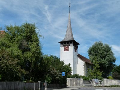
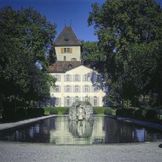
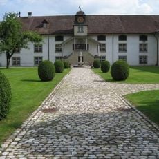
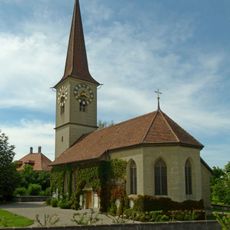
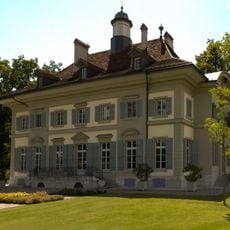
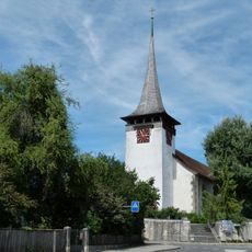
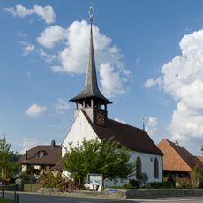
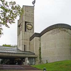
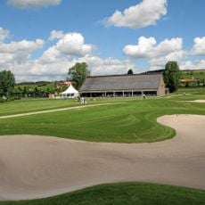
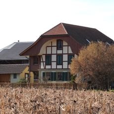
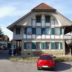
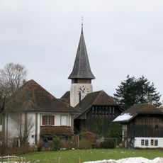
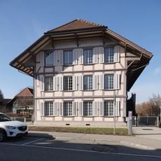
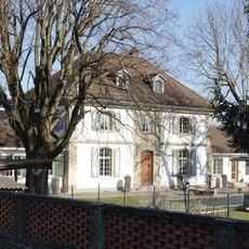
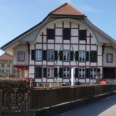
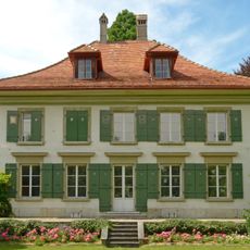
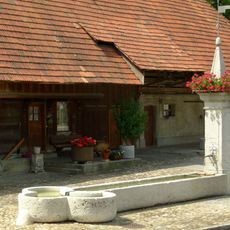
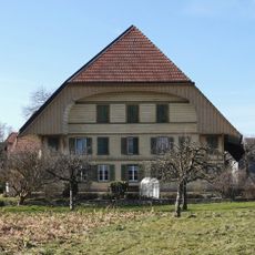
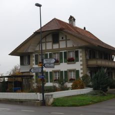
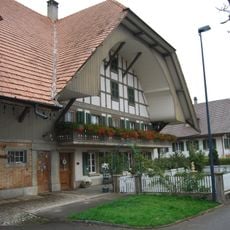
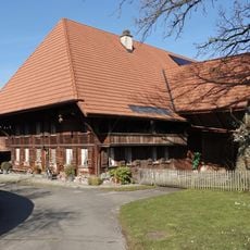
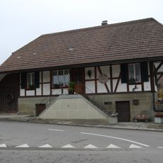
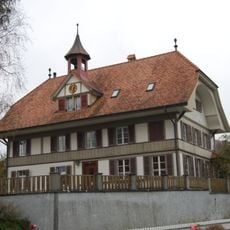
Jegenstorf, municipality in the Bern-Mittelland administrative district, Switzerland
Location: Bern-Mittelland administrative district
Location: Bern
Elevation above the sea: 522 m
Shares border with: Wiggiswil, Deisswil bei Münchenbuchsee, Urtenen-Schönbühl, Fraubrunnen, Hindelbank, Zuzwil, Mattstetten
Website: https://jegenstorf.ch
GPS coordinates: 47.04972,7.50694
Latest update: March 6, 2025 08:45
Jegenstorf château
286 m
Tomb of Maria Magdalena Langhans
2.7 km
Amthaus (former Cistercian monastery)
4.2 km
Church
2.7 km
Hofwil castle and institute buildings
4.7 km
Reformed church
82 m
Einbaum vom Moossee
3.9 km
Reformed church
4 km
Urtenen church
2.7 km
Golfpark Moossee
4.4 km
Stöckli (around 1850)
4.2 km
Stöckli (1797)
4.1 km
Grand Guetteur
3.7 km
Reformed church and rectory
3.9 km
Former school house (1849)
4.1 km
Wohnstock (around 1730)
4.1 km
Farmhouse (1914)
4.1 km
Residence (1936)
4.2 km
Hofwil bathing establishment
4.4 km
Rectory
2.6 km
Village fountain
2.2 km
Farmhouse (around 1920)
4.2 km
Stöckli (1809)
4.5 km
Farm house (1785)
4.5 km
Farmhouse (1805)
4 km
Old cheese dairy (around 1850)
2.5 km
Bangerten school house
4.6 km
Former cheese dairy (1927)
2.6 kmReviews
Visited this place? Tap the stars to rate it and share your experience / photos with the community! Try now! You can cancel it anytime.
Discover hidden gems everywhere you go!
From secret cafés to breathtaking viewpoints, skip the crowded tourist spots and find places that match your style. Our app makes it easy with voice search, smart filtering, route optimization, and insider tips from travelers worldwide. Download now for the complete mobile experience.
A unique approach to discovering new places❞
— Le Figaro
All the places worth exploring❞
— France Info
A tailor-made excursion in just a few clicks❞
— 20 Minutes