
Tafers, municipality in the canton of Fribourg, Switzerland
Location: Sense District
Location: Canton of Fribourg
Capital city: Tafers
Elevation above the sea: 651 m
Shares border with: Fribourg
Website: http://tafers.ch
GPS coordinates: 46.81667,7.21667
Latest update: March 7, 2025 02:14
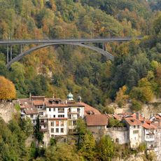
Gottéron Bridge
3.7 km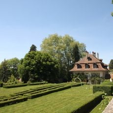
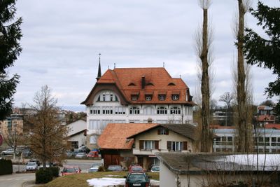
Schloss Uebewil
2.8 km
Garmiswil
3.8 km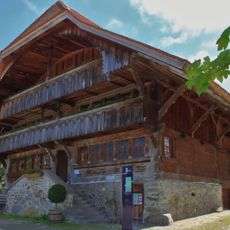
Sensler Museum
188 m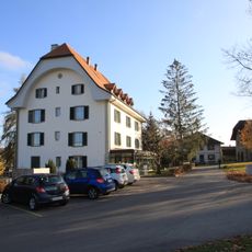
Herrenhaus mit Kapelle St. Peter und Paul und Speicher
892 m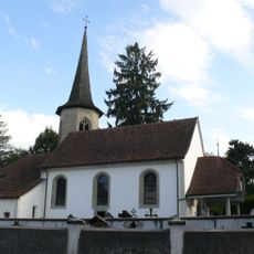
Église Notre-Dame de Bourguillon
3.5 km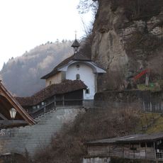
Saint-Béat chapel
3.8 km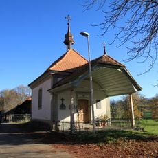
Kapelle U. L. Frau von den sieben Schmerzen
3 km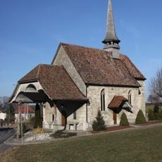
Wallfahrtskapelle St. Wolfgang
2.7 km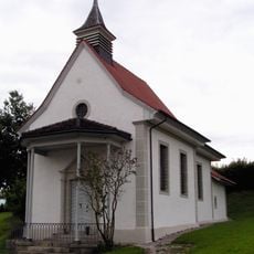
Wallfahrtskapelle Muttergottes, Mariahilf
1.7 km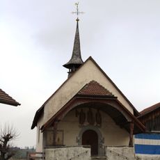
St. Urs chapel
2.8 km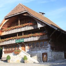
Sigristenhaus
185 m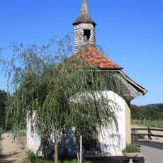
Heilig-Kreuzkapelle
3.6 km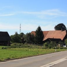
Farmhouse of Joseph von der Weid
3.1 km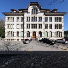
Villa Therese Boarding House
3.8 km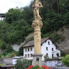
Fountain of Fidelity
3.8 km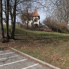
Manor of Alt, then of Diesbach-de Belleroche
3.7 km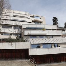
Building of Pierre Siffert
3.8 km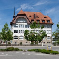
Schulhaus Tafers
113 m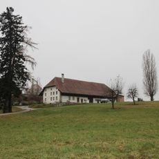
Farmhouse
964 m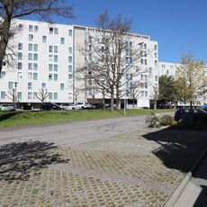
Sicoop buildings
3.2 km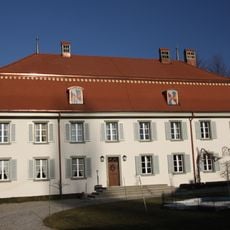
Landsitz Boccard
2.5 km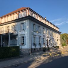
Trois-Tours Inn
3.6 km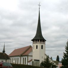
Parish church of St. Martin
154 m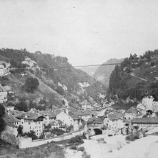
Gottéron Bridge
3.7 km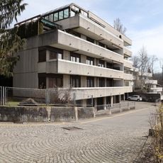
House Chemin des Kybourg 10a, Fribourg
3.8 km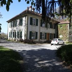
House Chemin du Windig 312, Fribourg
3.6 km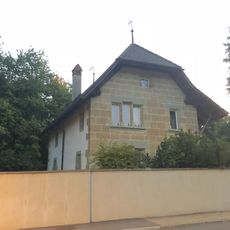
Bourguillon rectory
3.6 kmReviews
Visited this place? Tap the stars to rate it and share your experience / photos with the community! Try now! You can cancel it anytime.
Discover hidden gems everywhere you go!
From secret cafés to breathtaking viewpoints, skip the crowded tourist spots and find places that match your style. Our app makes it easy with voice search, smart filtering, route optimization, and insider tips from travelers worldwide. Download now for the complete mobile experience.

A unique approach to discovering new places❞
— Le Figaro
All the places worth exploring❞
— France Info
A tailor-made excursion in just a few clicks❞
— 20 Minutes