
Günsberg, municipality in the canton of Solothurn in Switzerland
Location: Lebern District
Elevation above the sea: 624 m
Shares border with: Riedholz
Website: https://guensberg.ch
GPS coordinates: 47.25667,7.57611
Latest update: April 9, 2025 13:27
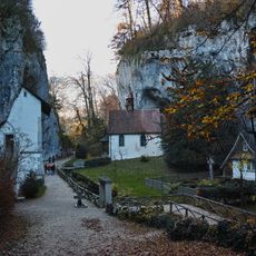
Saint Verena hermitage and sanctuary
4.8 km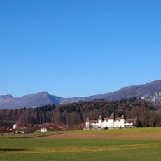
Waldegg Castle with gardens and outbuildings
4.3 km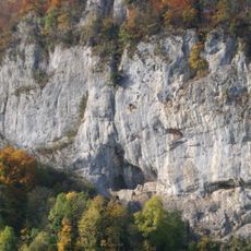
Balm ruins
1.6 km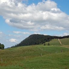
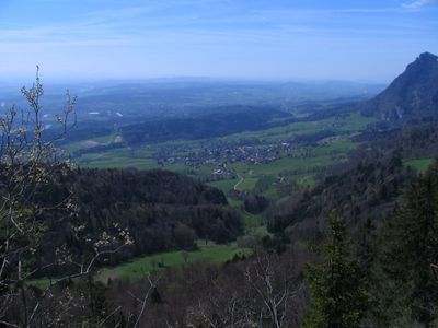
Röti
3.6 km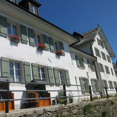
Weissenstein Spa House
5.1 km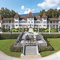
Waldegg Castle
4.3 km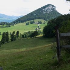
Rüttelhorn
3.5 km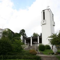
St. Joseph Church
5.8 km
Balmfluechöpfli
2.8 km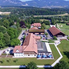
Golfclub Wylihof
3.8 km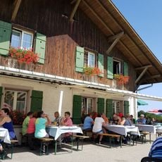
Hinterer Brandberg
5.1 km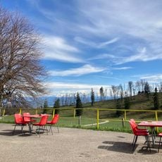
Hinteregg
5.1 km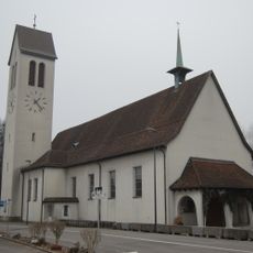
St. Joseph parish church
4.8 km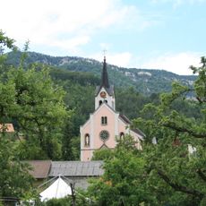
St. John the Baptist parish church
4.7 km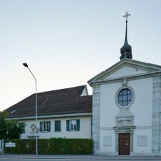
Chapel and beneficiary house of St. Katharinen
4.9 km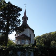
St. Niklaus catholic church with surrounding grave monuments
4.7 km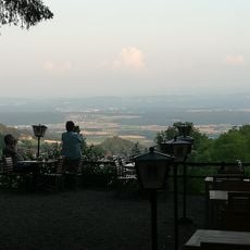
Restaurant Glutzenberg
778 m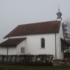
St. Anthony chapel
4.9 km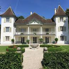
Emmenholz Castle
4.6 km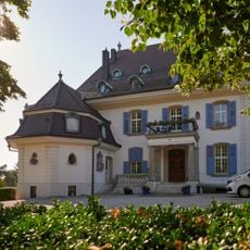
Villa Hohenlinden with Gloriette
5.1 km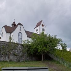
Parish church of St. Peter and Paul
2.8 km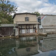
Power station at the Emmen canal
4.7 km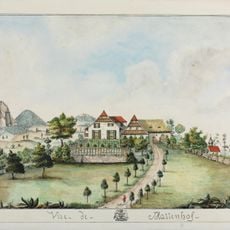
Mattenhof manor house
1.1 km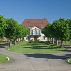
Koch Villa
4.8 km
Waldegghof with granary
4.4 km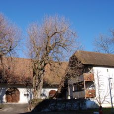
Granary Waldegghof
4.4 km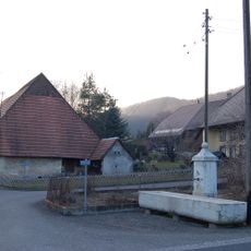
Limestone fountain
5 km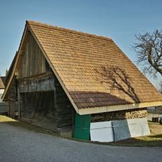
Granary (17. c.)
3.7 kmVisited this place? Tap the stars to rate it and share your experience / photos with the community! Try now! You can cancel it anytime.
Discover hidden gems everywhere you go!
From secret cafés to breathtaking viewpoints, skip the crowded tourist spots and find places that match your style. Our app makes it easy with voice search, smart filtering, route optimization, and insider tips from travelers worldwide. Download now for the complete mobile experience.

A unique approach to discovering new places❞
— Le Figaro
All the places worth exploring❞
— France Info
A tailor-made excursion in just a few clicks❞
— 20 Minutes