
Tentlingen, municipality in the canton of Fribourg, Switzerland
Location: Sense District
Location: Canton of Fribourg
Elevation above the sea: 728 m
Website: http://tentlingen.ch
GPS coordinates: 46.76667,7.20000
Latest update: April 4, 2025 05:01
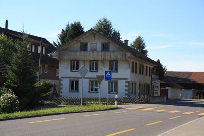

Pierrafortscha
2.4 km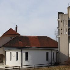
Reformed church of Rechthalten
3.8 km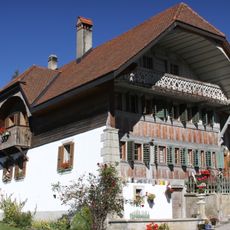
Farmhouse at route de l’ Église 57, Praroman
2.5 km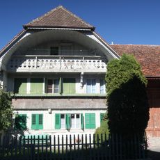
Vieux Presbytère, Praroman-Le Mouret
2.4 km
Ärgera
2.4 km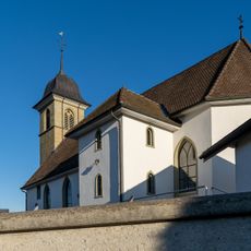
Église Saint-Laurent
2.4 km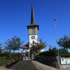
Katholische Kirche, Giffers
1 km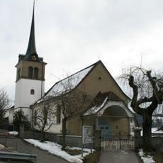
St. German parish church
3.1 km
Notre-Dame-de-l'Assomption chapel
1.4 km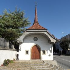
Saint-Sébastien chapel
3.1 km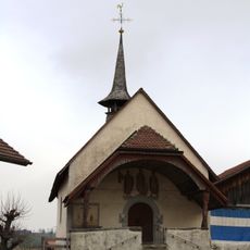
St. Urs chapel
3.3 km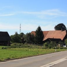
Farmhouse of Joseph von der Weid
3.3 km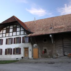
Farmhouse of the Commanderie des Hospitaliers de Fribourg
2.1 km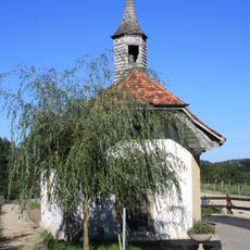
Heilig-Kreuzkapelle
2.2 km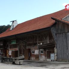
Farm in Le Mouret
3.5 km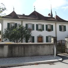
Rectory
3.2 km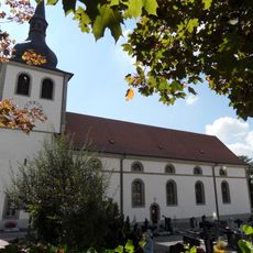
Saints-Pierre-et-Paul parish church
3.3 km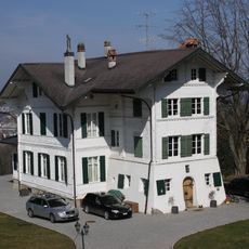
Chalet d'Amédée de Diesbach-Belleroche
3.3 km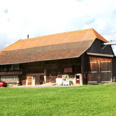
Farm in Le Mouret
1.9 km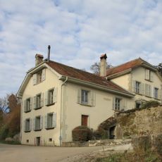
Château d'En-Haut de Pierre de Gottrau
2.9 km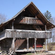
Granary, Granges-sur-Marly
2.9 km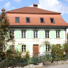
Maison Wicht dite château de Praroman
2.4 km
Château d'En-Bas de François-Pierre de Gottrau
2.9 km
House of de Weck called Château de Villars d'En-Bas
1.3 km
Brunisholz then de Weck manor house, called Château d'En-Haut
1.4 km
Farm in Le Mouret
3.5 km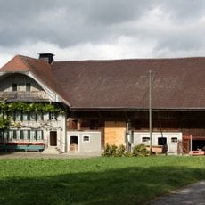
Ferme
2.7 km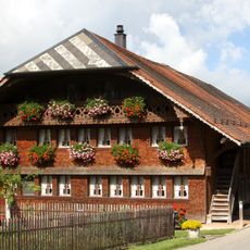
Farm in Le Mouret
3.5 kmReviews
Visited this place? Tap the stars to rate it and share your experience / photos with the community! Try now! You can cancel it anytime.
Discover hidden gems everywhere you go!
From secret cafés to breathtaking viewpoints, skip the crowded tourist spots and find places that match your style. Our app makes it easy with voice search, smart filtering, route optimization, and insider tips from travelers worldwide. Download now for the complete mobile experience.

A unique approach to discovering new places❞
— Le Figaro
All the places worth exploring❞
— France Info
A tailor-made excursion in just a few clicks❞
— 20 Minutes