
Courgenay, municipality in the canton of Jura, Switzerland
Location: Porrentruy District
Elevation above the sea: 488 m
Website: https://www.courgenay.ch
Shares border with: Porrentruy
Website: https://courgenay.ch
GPS coordinates: 47.40000,7.13333
Latest update: April 24, 2025 02:52
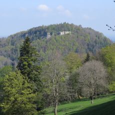
Mont Terri
2.3 km
Mont-Terri (prehistoric settlement/medieval castle)
2.3 km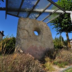
Courgenay holed stone
1.3 km
Jurassica Museum (collection)
4.5 km
Maison du tourisme
4.6 km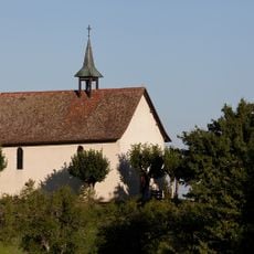
Saint-Gilles chapel
1.5 km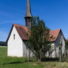
Sainte-Croix chapel
4.9 km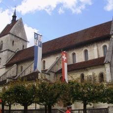
Abbaye de Saint-Ursanne
4.2 km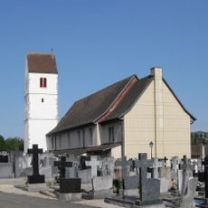
Saint-Jean-Baptiste church (gothic tower)
3.1 km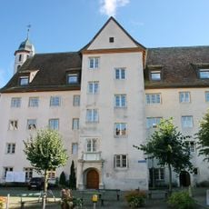
Église et collège des Jésuites, Porrentruy
4.6 km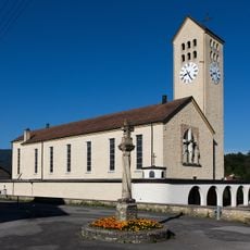
Saint-Pierre-et-Paul church
3.9 km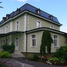
Jurassica Museum (building)
4.5 km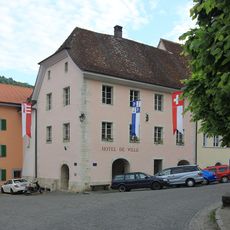
City hall
4.3 km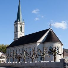
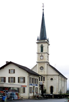
Notre-Dame de l’Assomption church
628 m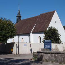
Saint-Germain church with former cemetery
4.5 km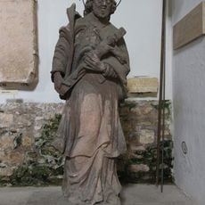
Cloister & lapidary museum
4.2 km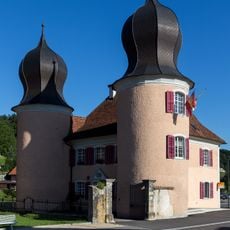
Château
4.1 km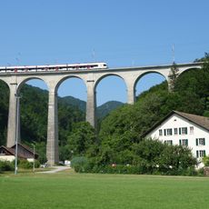
SBB Viaduct
4.6 km
Catholic rectory and city wall
4.6 km
Medieval town - modern era
4.2 km
May fountain
4.2 km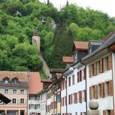
Fortifications
4.3 km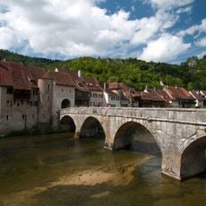
Pont sur le Doubs
4.3 km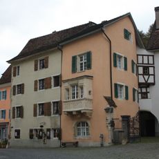
House of works
4.2 km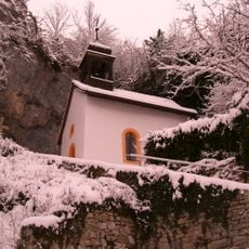
Hermitage
4.1 km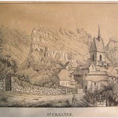
Saint-Ursanne, castle ruins - Middle Ages
4 km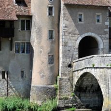
Saint John's Gate
4.3 km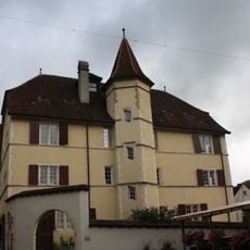
De Staal house
4.2 kmReviews
Visited this place? Tap the stars to rate it and share your experience / photos with the community! Try now! You can cancel it anytime.
Discover hidden gems everywhere you go!
From secret cafés to breathtaking viewpoints, skip the crowded tourist spots and find places that match your style. Our app makes it easy with voice search, smart filtering, route optimization, and insider tips from travelers worldwide. Download now for the complete mobile experience.

A unique approach to discovering new places❞
— Le Figaro
All the places worth exploring❞
— France Info
A tailor-made excursion in just a few clicks❞
— 20 Minutes