
Chêne-Pâquier, municipality in Switzerland
Location: Jura-Nord vaudois District
Elevation above the sea: 662 m
Website: http://chene-paquier.ch
GPS coordinates: 46.76667,6.76667
Latest update: March 10, 2025 16:53
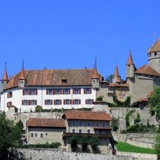
Lucens Castle
8.2 km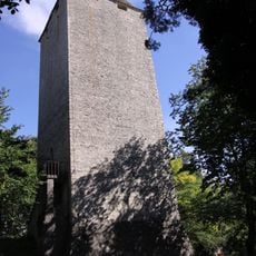
La Molière
5.5 km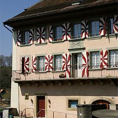
Lucens Sherlock Holmes Museum
8.3 km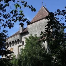
Surpierre Castle
7.8 km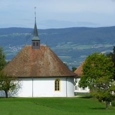
Church and rectory
474 m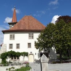
Donneloye Castle
4.6 km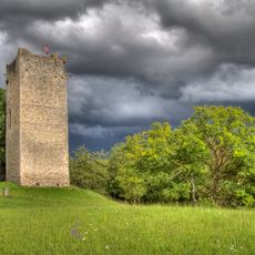
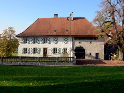
Castle of Saint-Martin-du-Chêne
1.1 km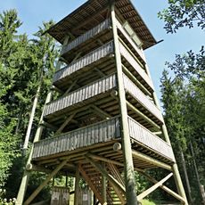
Donjon du Bois des Brigands
8 km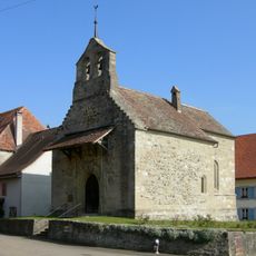
Saint-Jean-L'Evangéliste
2.6 km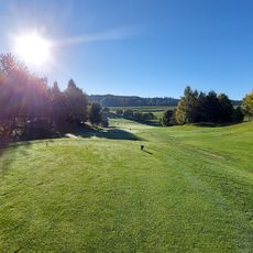
Golf Club Vuissens
3.2 km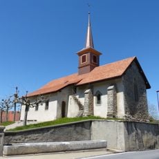
Saint-Martin reformed church
7.1 km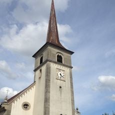
Saint-Vincent parish church
3.2 km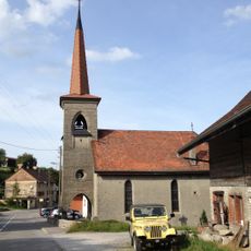
Saint-Hubert chapel
4.8 km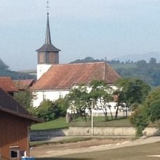
Saint-Jacques parish church
5.3 km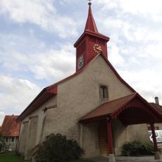
Saint-Maurice reformed church
2.3 km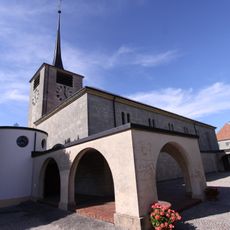
Saint-Pierre parish church
4.1 km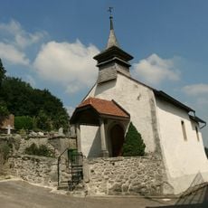
Saint-Nicolas-de-Myre chapel
5.1 km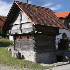
Granary
5.5 km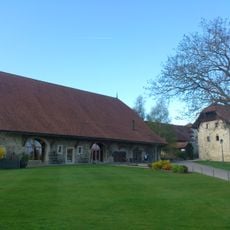
Grange du château
3.3 km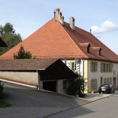
Cure (Rue de la Cure 11, Thierrens
7 km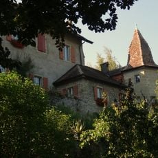
Château
6.5 km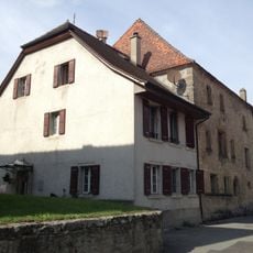
Château de Treytorrens
2.7 km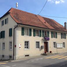
Maison de commune avec pressoir puis école, fruiterie et logement du régent
3.2 km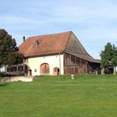
Ferme
6.9 km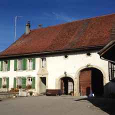
Farmhouse of Joseph Corboud
7.6 km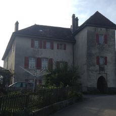
Castle
4.1 km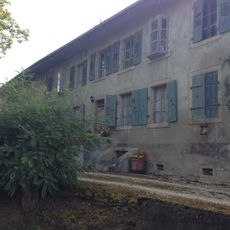
Ferme Muller de Bellevue
8.1 km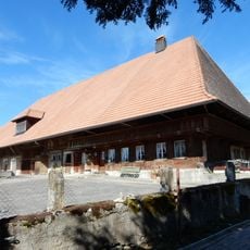
Farmhouse
6.9 kmReviews
Visited this place? Tap the stars to rate it and share your experience / photos with the community! Try now! You can cancel it anytime.
Discover hidden gems everywhere you go!
From secret cafés to breathtaking viewpoints, skip the crowded tourist spots and find places that match your style. Our app makes it easy with voice search, smart filtering, route optimization, and insider tips from travelers worldwide. Download now for the complete mobile experience.

A unique approach to discovering new places❞
— Le Figaro
All the places worth exploring❞
— France Info
A tailor-made excursion in just a few clicks❞
— 20 Minutes