
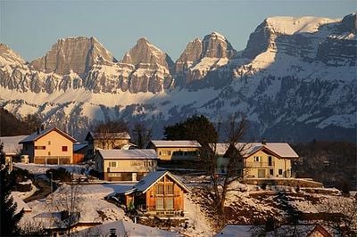
Vilters-Wangs, municipality in Switzerland
Location: canton St. Gallen
Location: Sarganserland Constituency
Elevation above the sea: 499 m
Shares border with: Bad Ragaz, Fläsch, Mels, Sargans
Website: http://vilters-wangs.ch
GPS coordinates: 47.01667,9.45000
Latest update: March 3, 2025 01:39
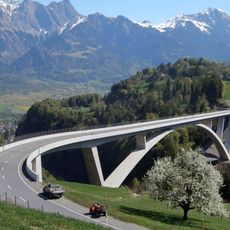
Taminabrücke
4.2 km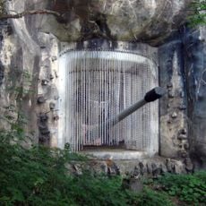
Festungsraum Sargans
3.9 km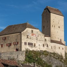
Sargans Castle
3.8 km
Kastels
5.1 km
Pfäfers Abbey
4.9 km
Freudenberg Castle
3.3 km
Festung Passati
4.7 km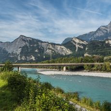
A13 Autobahnbrücke über den Rhein
4.5 km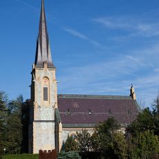
Reformierte Kirche Bad Ragaz
4.5 km
Reformed church in Sargans
4.2 km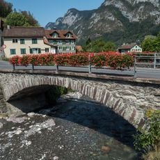
Schäflibrücke
4.1 km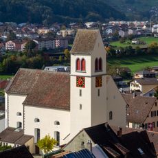
Kirche St. Oswald und Cassian
3.9 km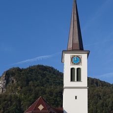
Assumption of Mary
4.1 km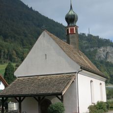
Oberheiligkreuz, Kapelle Hl. Kreuz (Ende 15. Jh., um 1700)
4.9 km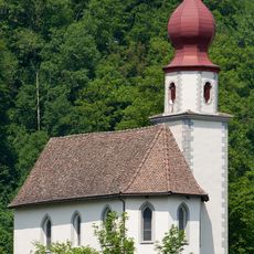
Splee-Kapelle St. Sebastian
3.7 km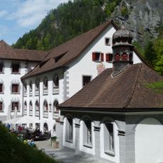
Altes Bad Pfäfers
5.6 km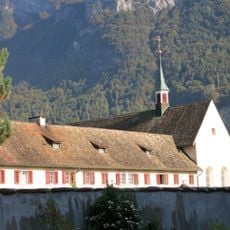
Kapuzinerkloster Mels (1651)
3.9 km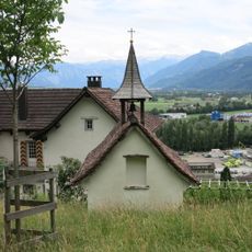
Hof Ratell mit Kapelle
4.3 km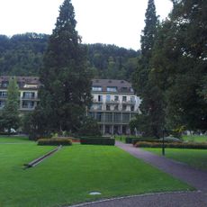
Hof mit Kuranstalten und Park
4.4 km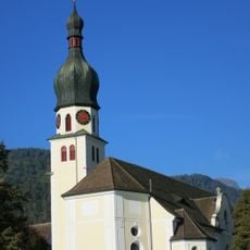
St. Peter und Paul (Mels)
3.9 km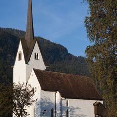
Kapelle St. Leonhard
3.3 km
Alp Gaffia
4.1 km
Bad Ragaz station building
4.3 km
Castels, prähistorische-mittelalterliche Höhensiedlung
4.7 km
St. Evort
4.8 km
Burgruine und Schlösschen Nidberg
4.2 km
Dorfbad mit Trinkhalle, Bad Ragaz
4.2 km
Broderhaus
3.9 kmVisited this place? Tap the stars to rate it and share your experience / photos with the community! Try now! You can cancel it anytime.
Discover hidden gems everywhere you go!
From secret cafés to breathtaking viewpoints, skip the crowded tourist spots and find places that match your style. Our app makes it easy with voice search, smart filtering, route optimization, and insider tips from travelers worldwide. Download now for the complete mobile experience.

A unique approach to discovering new places❞
— Le Figaro
All the places worth exploring❞
— France Info
A tailor-made excursion in just a few clicks❞
— 20 Minutes