
Neyruz, municipality in the canton of Fribourg, Switzerland
Location: Sarine District
Location: Canton of Fribourg
Elevation above the sea: 692 m
Website: http://neyruz.ch
GPS coordinates: 46.76667,7.06667
Latest update: April 12, 2025 19:48

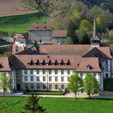
Abbey of Hauterive
3.9 km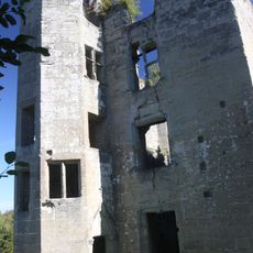
Illens Castle
4.6 km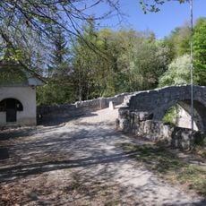
Ste-Apolline Bridge and Chapel
4.3 km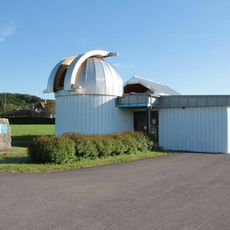
Épendes Observatory
5.6 km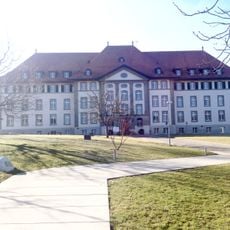
Institut agricole de Grangeneuve
3.7 km
Vers-le-Château, ville médiévale
4.4 km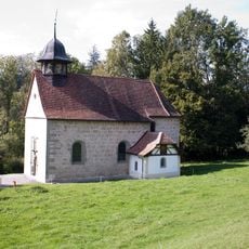
Notre-Dame-de-la-Visitation chapel
3.7 km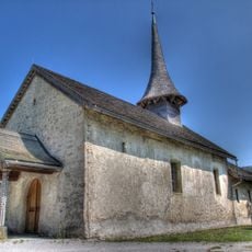
Vers-Saint-Pierre former parish church
5 km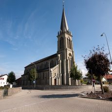
St. Vincent church
5 km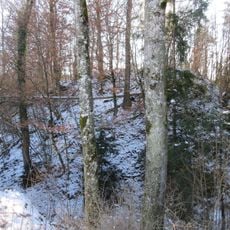
Vernex I (Châtillon)
4.3 km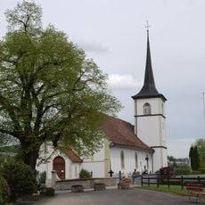
Saint-Julien parish church
3.2 km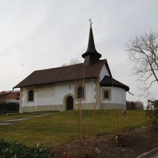
Chapelle Saint-Georges, Corminboeuf
5.4 km
Saint-Jacques-le-Majeur parish church
5 km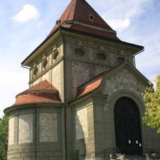
Chapelle du Sacré-Coeur
2.2 km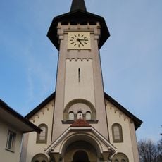
Church Saints-Pierre-et-Paul
4.6 km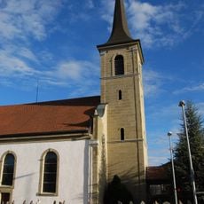
Notre-Dame-de-l'Immaculée-Conception parish church
181 m
Park "Bois Murat" with the villa of Count Abel-Henri-Georges Armand, known as the castle
3.5 km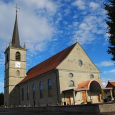
Saint-Maurice church
4.9 km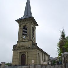
Catholic church of Arconciel
4.8 km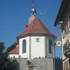
Saint-Jean-Baptiste parish church
4.6 km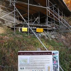
La Souche, mesolithic shelter
3.6 km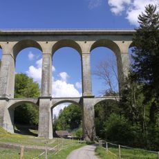
Pont de la Glâne
5 km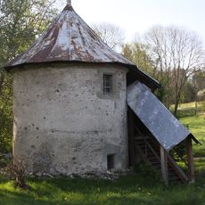
Granary
3.4 km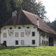
Farm of Hauterive abbey
3.6 km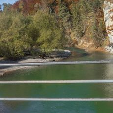
Petite Sarine
3.8 km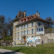
Landerset Manor
4.7 km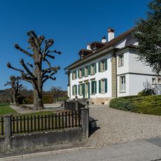
Country house Reyff
4.3 km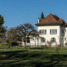
House of Henri Buchs, known as Château de Sainte-Apolline
4.3 kmReviews
Visited this place? Tap the stars to rate it and share your experience / photos with the community! Try now! You can cancel it anytime.
Discover hidden gems everywhere you go!
From secret cafés to breathtaking viewpoints, skip the crowded tourist spots and find places that match your style. Our app makes it easy with voice search, smart filtering, route optimization, and insider tips from travelers worldwide. Download now for the complete mobile experience.

A unique approach to discovering new places❞
— Le Figaro
All the places worth exploring❞
— France Info
A tailor-made excursion in just a few clicks❞
— 20 Minutes