
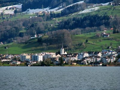
Altendorf, municipality in the canton of Schwyz, Switzerland
Location: March District
Elevation above the sea: 421 m
Shares border with: Freienbach, Galgenen, Lachen, Einsiedeln, Vorderthal, Rapperswil-Jona
Website: http://altendorf.ch
GPS coordinates: 47.19222,8.83000
Latest update: March 5, 2025 03:55
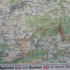
Sperrlinie Etzel
4.3 km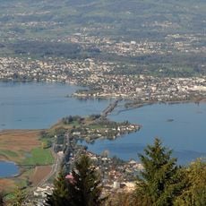
Frauenwinkel
3.2 km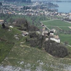
Alt Rapperswil
1.2 km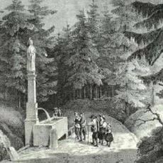
Meinradsbrunnen
4.6 km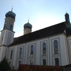
Holy Cross Catholic Parish Church
1.6 km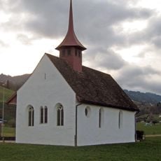
St. Jost chapel
3.7 km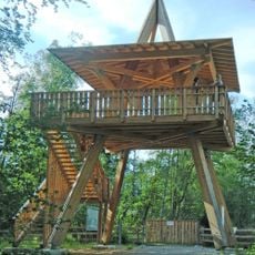
Lachner Aahorn Turm
2.1 km
Chörnlisegg
3.8 km
Gueteregg
4.7 km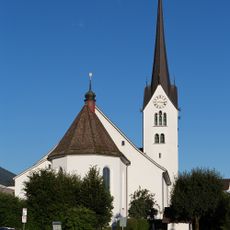
St. Michael parish church
94 m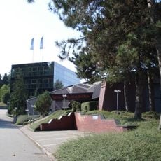
Seedamm culture center
2.9 km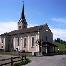
Viertelskirche Johannes der Täufer
5.1 km
Bilsten
2.1 km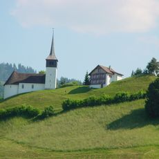
Chapel of St. John and Sacristan's house
1.2 km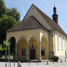
Chapel of the Sorrowful Mother of God in the Ried
2 km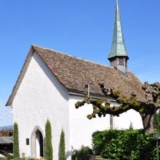
Chapel of Our Lady
3.1 km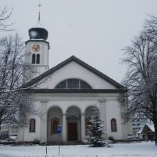
St. Martin's catholic parish church
3.5 km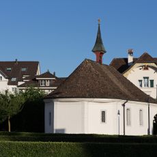
Chapel of St. Anne, Ossuary
63 m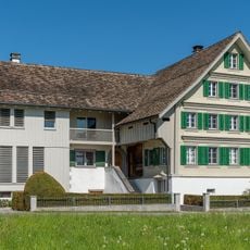
Chürzi house
2.9 km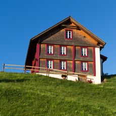
Sacristan house
1.2 km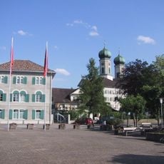
Gemeindehaus
1.6 km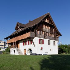
House by the lake
298 m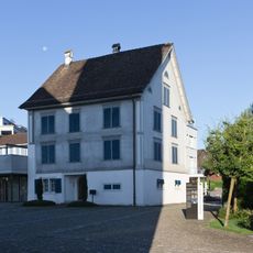
Rectory St. Michael church
56 m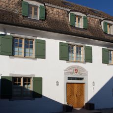
Serafina House
319 m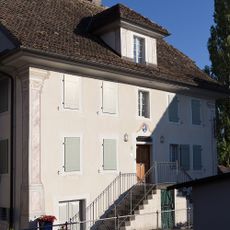
House Seestatt (formerly zur Krone)
329 m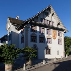
Engel House
295 m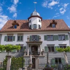
House Schlössli
1.8 km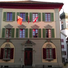
Town Hall
1.6 kmVisited this place? Tap the stars to rate it and share your experience / photos with the community! Try now! You can cancel it anytime.
Discover hidden gems everywhere you go!
From secret cafés to breathtaking viewpoints, skip the crowded tourist spots and find places that match your style. Our app makes it easy with voice search, smart filtering, route optimization, and insider tips from travelers worldwide. Download now for the complete mobile experience.

A unique approach to discovering new places❞
— Le Figaro
All the places worth exploring❞
— France Info
A tailor-made excursion in just a few clicks❞
— 20 Minutes