
Vordemwald, municipality in the canton of Aargau, Switzerland
Location: Zofingen District
Location: Aargau
Elevation above the sea: 428 m
Part of: RPV Zofingenregio
Website: https://vordemwald.ch
GPS coordinates: 47.27611,7.90000
Latest update: April 16, 2025 07:01
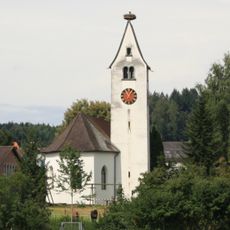
Reformed church
4.1 km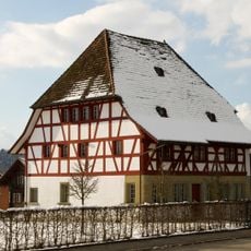
Former hospital
3.5 km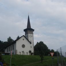
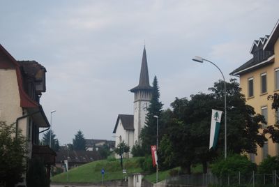
Church of Vordemwald
494 m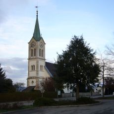
Evangelical reformed church and rectory
3 km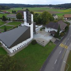
Glashütten Reformed Church
4.5 km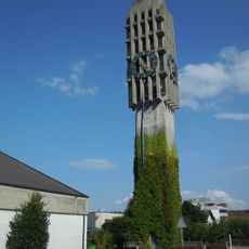
Protestant church of Strengelbach
2.1 km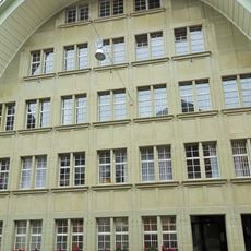
Zur Alten Kanzlei
3.7 km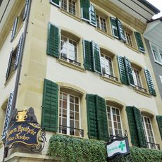
Löwen pharmacy
3.7 km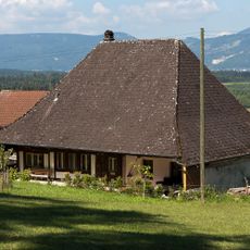
Hochstudhaus
3.5 km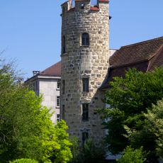
Strecketurm
3.6 km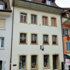
Former gildhouse zu Ackerleuten
3.7 km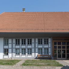
Local museum of Rothrist
3.4 km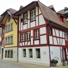
House
3.6 km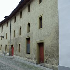
Slaughterhouse
3.6 km
Local museum (collection)
3.3 km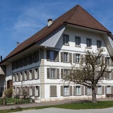
House No. 14
2.6 km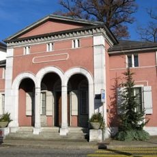
Amtshaus
3.7 km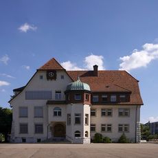
Dörfli schoolhouse
3.3 km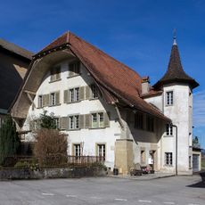
Mill
4.1 km
House
3.6 km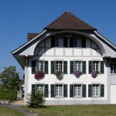
Evangelical-reformed rectory
3 km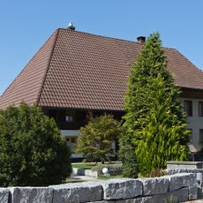
Hochstud double barn
2.8 km
Former tithe house
3.3 km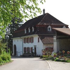
Rectory
4.8 km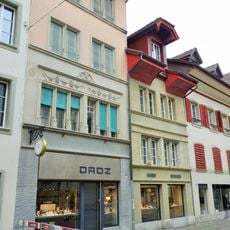
House
3.7 km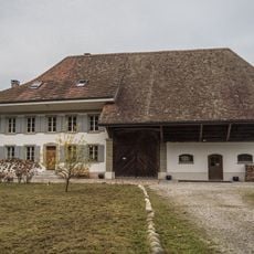
Farmhouse Gamper
3.7 km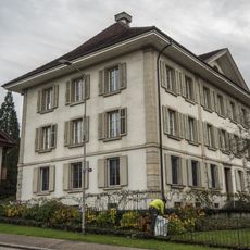
Moosmatt house
4.1 km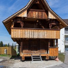
Granary
3.9 kmVisited this place? Tap the stars to rate it and share your experience / photos with the community! Try now! You can cancel it anytime.
Discover hidden gems everywhere you go!
From secret cafés to breathtaking viewpoints, skip the crowded tourist spots and find places that match your style. Our app makes it easy with voice search, smart filtering, route optimization, and insider tips from travelers worldwide. Download now for the complete mobile experience.

A unique approach to discovering new places❞
— Le Figaro
All the places worth exploring❞
— France Info
A tailor-made excursion in just a few clicks❞
— 20 Minutes