
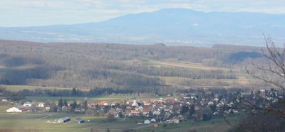
Rodersdorf, municipality in the canton of Solothurn in Switzerland
Location: Dorneck District
Elevation above the sea: 391 m
Website: https://rodersdorf.ch
GPS coordinates: 47.48056,7.45694
Latest update: March 10, 2025 07:31
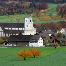
Benedictine abbey of Mariastein
2.7 km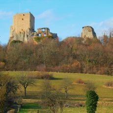
Château de Landskron
2.7 km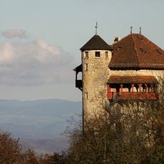
Rotberg castle youth hostel
2.7 km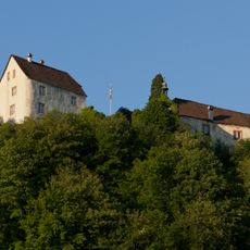
Burg Castle
2.9 km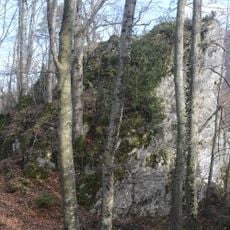
Ruins Alt-Biederthal
3.1 km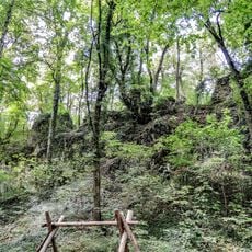
Waldeck Castle
1.5 km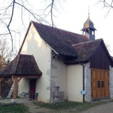
Chapelle Saint-Brice d'Oltingue
3 km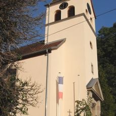
Église Saint-Michel de Biederthal
1.3 km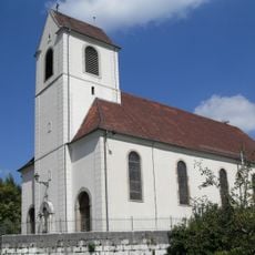
Église Saint-Blaise
4.6 km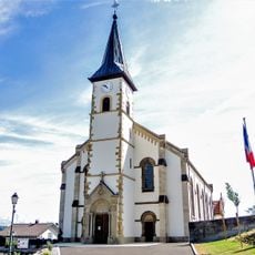
Église Saint-Léger de Leymen
2.4 km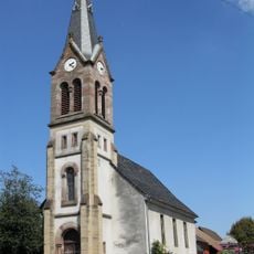
Église Saint-Marc de Liebenswiller
2 km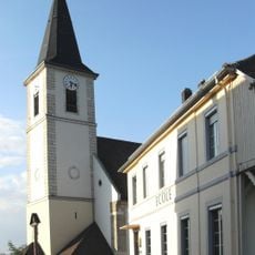
Église Saint-Maurice de Wolschwiller
4.2 km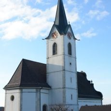
St. Remigius catholic church
1.8 km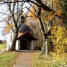
St. Anne chapel
2.8 km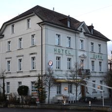
Hotel Jura
2.5 km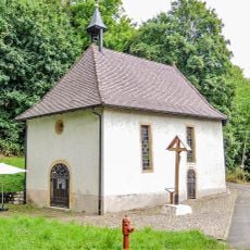
Chapelle Sainte-Walburge de Heiligenbrunn
3.2 km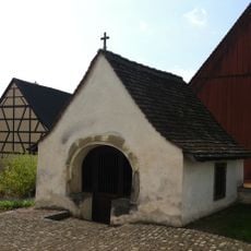
Ossuary
98 m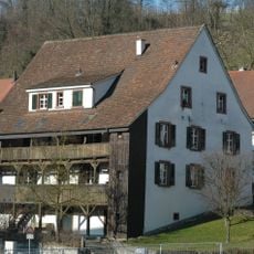
Red Ox
3.1 km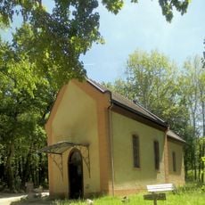
Chapelle Saint-Jean-Népomucène de Diepelswiller
3.2 km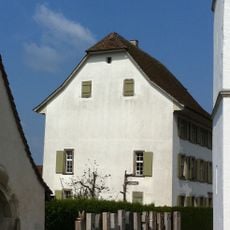
Rectory
98 m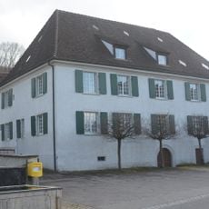
Altermatthof
111 m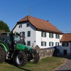
Former mill
986 m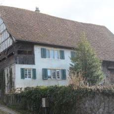
Fideikommis Marx Aeschi (Guidem House) with shed
104 m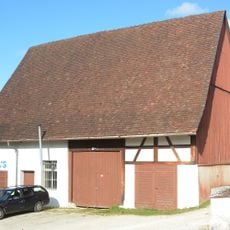
Parish barn
111 m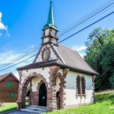
Chapelle des Âmes-du-Purgatoire de Leymen
2.2 km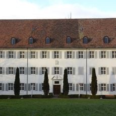
Spa house Kreuz (former pilgrim hostel)
2.4 km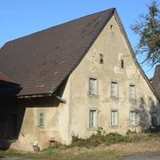
Farmhouse
1.7 km
Schönenberg Castle ruin
3 kmVisited this place? Tap the stars to rate it and share your experience / photos with the community! Try now! You can cancel it anytime.
Discover hidden gems everywhere you go!
From secret cafés to breathtaking viewpoints, skip the crowded tourist spots and find places that match your style. Our app makes it easy with voice search, smart filtering, route optimization, and insider tips from travelers worldwide. Download now for the complete mobile experience.

A unique approach to discovering new places❞
— Le Figaro
All the places worth exploring❞
— France Info
A tailor-made excursion in just a few clicks❞
— 20 Minutes