
Waldkirch, municipality in the canton of St. Gallen, Switzerland
Location: St. Gallen Constituency
Elevation above the sea: 629 m
Shares border with: Andwil, Bischofszell, Gaiserwald, Gossau, Häggenschwil, Niederbüren, Wittenbach, Hauptwil-Gottshaus
Website: http://waldkirch.ch
GPS coordinates: 47.46639,9.28306
Latest update: March 9, 2025 12:40
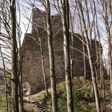
Old Ramschwag castle ruin
3.9 km
Hauptwil Castle
2.8 km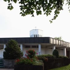
Antoniuskirche Hauptwil
2.6 km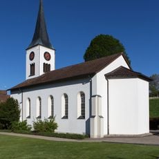
Reformed church
2.7 km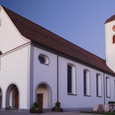
Katholische Kirche St. Blasius (1722)
374 m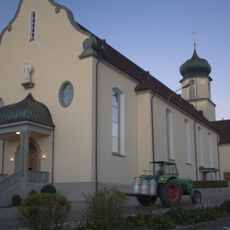
Katholische Kirche St. Otmar
3.2 km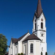
Catholic Church of St. Pelagiberg
2.7 km
St. John the Baptist catholic parish church
4.1 km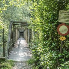
Hätterensteg
6.8 km
Hilterenbrücke-Süd
3.7 km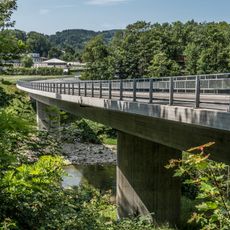
Leebrücke
6.5 km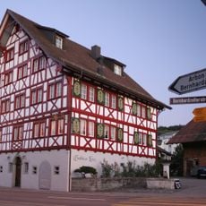
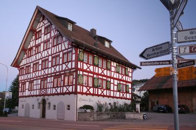
Kreuz Inn
283 m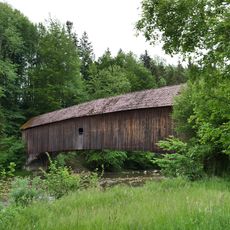
Wannen bridge
5.3 km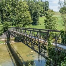
Sturzwis-Steg
3.9 km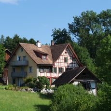
Former mill Lauften
2.3 km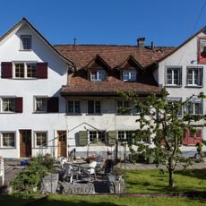
Kurzbau terrace of workers' houses
2.7 km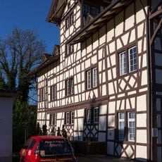
Spittel residential house
2.9 km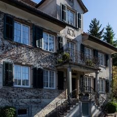
Rotes Haus
2.9 km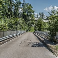
Hilterenbrücke-Nord
3.7 km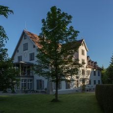
Kaufhaus Hauptwil
2.8 km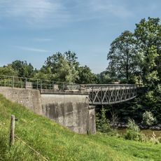
Erlenholzbrücke
5.8 km
Gelbbau terrace of workers' houses
2.7 km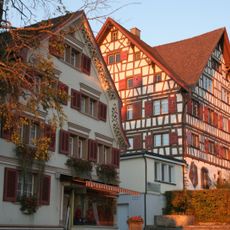
Haus zum Hirschen (1732)
3.1 km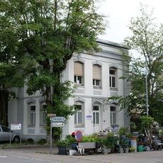
Former silk weaving factory Honegger
2.7 km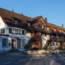
Langbau terrace of workers' houses
2.6 km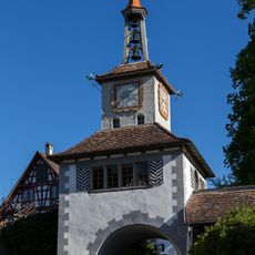
Tortürmli Hauptwil
2.9 km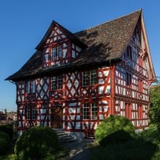
Ehemalige Taverne «Zur Traube»
2.9 km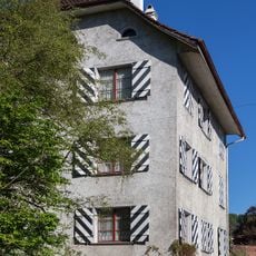
Schlössli
2.7 kmVisited this place? Tap the stars to rate it and share your experience / photos with the community! Try now! You can cancel it anytime.
Discover hidden gems everywhere you go!
From secret cafés to breathtaking viewpoints, skip the crowded tourist spots and find places that match your style. Our app makes it easy with voice search, smart filtering, route optimization, and insider tips from travelers worldwide. Download now for the complete mobile experience.

A unique approach to discovering new places❞
— Le Figaro
All the places worth exploring❞
— France Info
A tailor-made excursion in just a few clicks❞
— 20 Minutes