
Etagnières, municipality in Switzerland
Location: canton Vaud
Location: Gros-de-Vaud District
Elevation above the sea: 628 m
Website: http://etagnieres.ch
GPS coordinates: 46.60000,6.61667
Latest update: March 3, 2025 03:20
Abbey of Montheron
3.8 km
Parc de Mon-Repos
2.5 km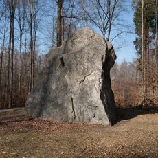
Pierre à Cambot
3.5 km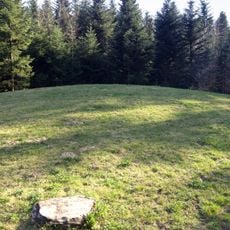
Assens Tumulus
1.9 km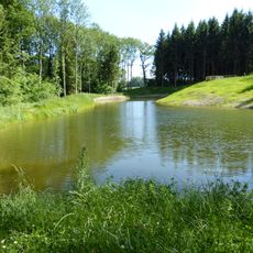
Étang du Bois Neuf
1.4 km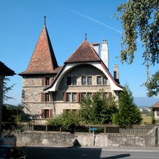
D'En-Bas Castle
5.6 km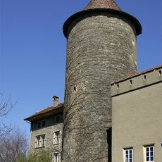
Castle
4.7 km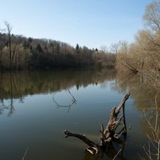
Lac Coffy
2.8 km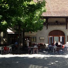
Museum of the House of wheat and bread
4.8 km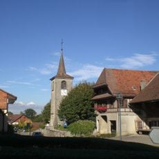
Saint-Germain parity church
1.5 km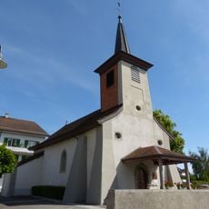
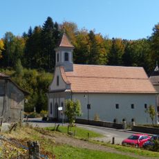
Chapelle Saint-Laurent d'Étagnières
356 m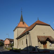
Protestant church of Daillens
5.7 km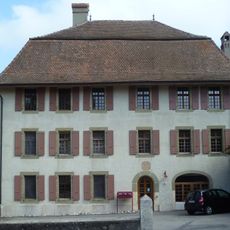
Maison de Commune (1696)
1.2 km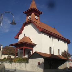
Église réformée de Sullens
3.8 km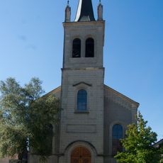
Reformed church
4.7 km
Notre-Dame reformed church (nave)
5.7 km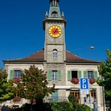
City hall
4.8 km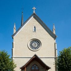
St. Stephen's catholic church with cemetery
4 km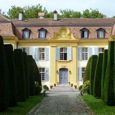
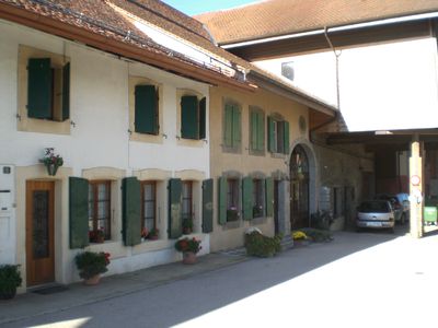
Castle and old farm
2.1 km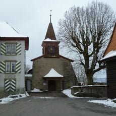
Église réformée Saint-Nicolas
1.3 km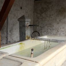
Fontaine
3.8 km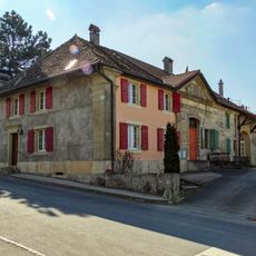
Castle and surroundings
4.1 km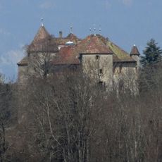
Château de Saint-Barthélemy
4.4 km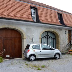
Former outbuilding of the château
3.8 km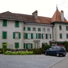
Château with outbuilding
3.9 km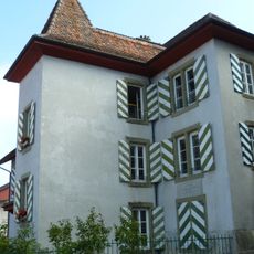
Cure
1.2 km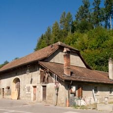
Montheron, grange
3.8 km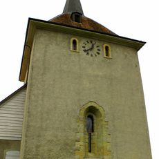
Spire of the church
5.7 kmVisited this place? Tap the stars to rate it and share your experience / photos with the community! Try now! You can cancel it anytime.
Discover hidden gems everywhere you go!
From secret cafés to breathtaking viewpoints, skip the crowded tourist spots and find places that match your style. Our app makes it easy with voice search, smart filtering, route optimization, and insider tips from travelers worldwide. Download now for the complete mobile experience.

A unique approach to discovering new places❞
— Le Figaro
All the places worth exploring❞
— France Info
A tailor-made excursion in just a few clicks❞
— 20 Minutes